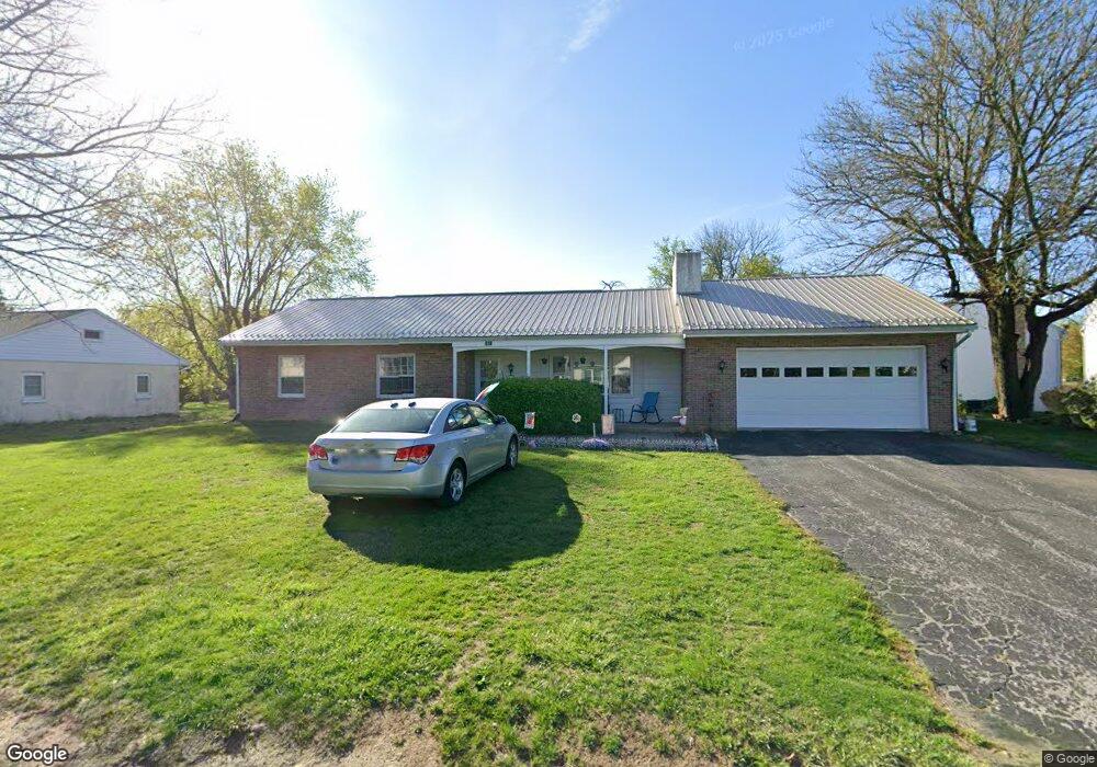
940 Pine St Honey Brook, PA 19344
Estimated Value: $300,000 - $382,000
3
Beds
1
Bath
1,381
Sq Ft
$253/Sq Ft
Est. Value
About This Home
This home is located at 940 Pine St, Honey Brook, PA 19344 and is currently estimated at $349,379, approximately $252 per square foot. 940 Pine St is a home located in Chester County with nearby schools including Honey Brook Elementary Center, Twin Valley Middle School, and Twin Valley High School.
Ownership History
Date
Name
Owned For
Owner Type
Purchase Details
Closed on
Aug 26, 2020
Sold by
King Moses and King Sharon
Bought by
Minardi Mark A and Minardi Lauren
Current Estimated Value
Home Financials for this Owner
Home Financials are based on the most recent Mortgage that was taken out on this home.
Original Mortgage
$189,150
Outstanding Balance
$167,858
Interest Rate
2.9%
Mortgage Type
New Conventional
Estimated Equity
$181,521
Purchase Details
Closed on
Jul 29, 2009
Sold by
Roberts Clarence F and Estate Of William Cochran
Bought by
King Moses and King Sharon
Home Financials for this Owner
Home Financials are based on the most recent Mortgage that was taken out on this home.
Original Mortgage
$70,000
Interest Rate
5.43%
Mortgage Type
New Conventional
Create a Home Valuation Report for This Property
The Home Valuation Report is an in-depth analysis detailing your home's value as well as a comparison with similar homes in the area
Home Values in the Area
Average Home Value in this Area
Purchase History
| Date | Buyer | Sale Price | Title Company |
|---|---|---|---|
| Minardi Mark A | $195,000 | Edge Abstract Independence L | |
| King Moses | $170,000 | None Available |
Source: Public Records
Mortgage History
| Date | Status | Borrower | Loan Amount |
|---|---|---|---|
| Open | Minardi Mark A | $189,150 | |
| Previous Owner | King Moses | $70,000 |
Source: Public Records
Tax History Compared to Growth
Tax History
| Year | Tax Paid | Tax Assessment Tax Assessment Total Assessment is a certain percentage of the fair market value that is determined by local assessors to be the total taxable value of land and additions on the property. | Land | Improvement |
|---|---|---|---|---|
| 2025 | $5,087 | $124,230 | $50,170 | $74,060 |
| 2024 | $5,087 | $124,230 | $50,170 | $74,060 |
| 2023 | $4,978 | $124,230 | $50,170 | $74,060 |
| 2022 | $4,778 | $124,230 | $50,170 | $74,060 |
| 2021 | $4,618 | $124,230 | $50,170 | $74,060 |
| 2020 | $4,595 | $124,230 | $50,170 | $74,060 |
| 2019 | $4,447 | $124,230 | $50,170 | $74,060 |
| 2018 | $4,447 | $124,230 | $50,170 | $74,060 |
| 2017 | $4,320 | $124,230 | $50,170 | $74,060 |
| 2016 | $3,375 | $124,230 | $50,170 | $74,060 |
| 2015 | $3,375 | $124,230 | $50,170 | $74,060 |
| 2014 | $3,375 | $124,230 | $50,170 | $74,060 |
Source: Public Records
Map
Nearby Homes
- 407 Cahill Cir Unit 4
- 110 Petrelia Dr
- 0 Westbrook Dr
- 0 Westbrook Dr
- 0 Westbrook Dr
- 0 Westbrook Dr
- 650 Broad St
- 241 Dove Dr
- 14 Blue Spruce Dr
- 40 Cupola Rd
- 607 Buchland Rd
- 339 Churchtown Rd
- 1022 Elwood St
- 1250 Chestnut Tree Rd
- 194 Joyce Ln
- 98 Erica Cir
- 211 Michael Rd
- 5892 Meadville Rd
- 112 Maxwell Hill Rd
- 490 Red Hill Rd
- 411 Cahill Cir
- 910 Pine St
- 409 Cahill Cir
- 413 Cahill Cir
- 405 Cahill Cir Unit 3
- 415 Cahill Cir
- 417 Cahill Cir
- 403 Cahill Cir
- 939 Pine St
- 418 Cahill Cir
- 401 Cahill Cir
- 909 Pine St
- 880 Pine St
- 421 Cahill Cir
- 423 Cahill Cir
- 979 Pine St
- 889 Pine St
- 425 Cahill Cir
- 427 Cahill Cir Unit 14
- 429 Cahill Cir Unit 15