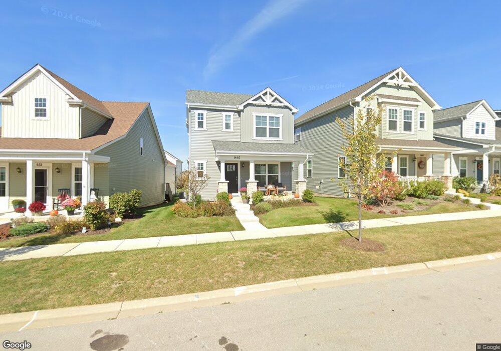
940 Simpson Ave Elburn, IL 60119
Estimated Value: $364,000 - $466,000
Studio
--
Bath
--
Sq Ft
3,528
Sq Ft Lot
About This Home
This home is located at 940 Simpson Ave, Elburn, IL 60119 and is currently estimated at $396,201. 940 Simpson Ave is a home with nearby schools including Kaneland John Stewart Elementary School, Harter Middle School, and Kaneland High School.
Ownership History
Date
Name
Owned For
Owner Type
Purchase Details
Closed on
May 26, 2021
Sold by
Shodeen Homes Llc
Bought by
Mikos Kimberly
Current Estimated Value
Home Financials for this Owner
Home Financials are based on the most recent Mortgage that was taken out on this home.
Original Mortgage
$135,000
Outstanding Balance
$122,168
Interest Rate
2.87%
Mortgage Type
New Conventional
Estimated Equity
$274,033
Purchase Details
Closed on
Sep 14, 2020
Sold by
Elburn Station Development Group Llc
Bought by
Shodden Homes Llc
Create a Home Valuation Report for This Property
The Home Valuation Report is an in-depth analysis detailing your home's value as well as a comparison with similar homes in the area
Home Values in the Area
Average Home Value in this Area
Purchase History
| Date | Buyer | Sale Price | Title Company |
|---|---|---|---|
| Mikos Kimberly | $266,500 | Chicago Title Insurance Co | |
| Shodden Homes Llc | $40,000 | Attorney |
Source: Public Records
Mortgage History
| Date | Status | Borrower | Loan Amount |
|---|---|---|---|
| Open | Mikos Kimberly | $135,000 |
Source: Public Records
Tax History
| Year | Tax Paid | Tax Assessment Tax Assessment Total Assessment is a certain percentage of the fair market value that is determined by local assessors to be the total taxable value of land and additions on the property. | Land | Improvement |
|---|---|---|---|---|
| 2024 | $9,080 | $110,814 | $11,935 | $98,879 |
| 2023 | $9,000 | $100,013 | $10,772 | $89,241 |
| 2022 | $9,368 | $99,139 | $9,886 | $89,253 |
| 2021 | $4,051 | $43,860 | $45 | $43,815 |
| 2020 | $0 | $44 | $44 | $0 |
| 2019 | $0 | $43 | $43 | $0 |
| 2018 | $0 | $43 | $43 | $0 |
Source: Public Records
Map
Nearby Homes
- 607 Virginia St
- 634 Virginia St
- 713 Elizabeth St
- 645 Virginia St
- 815 Kindberg Ct
- 980 Sears Cir
- 1076 Freedom Rd
- 1123 Sears Cir
- 1038 Veteran Ave
- 42W613 Meadowsweet Dr
- 801 Citizen Ave
- 1494 Keller St
- 411 S 1st St
- 1029 Wise St
- 1155 Corrigan St
- 931 Patriot Pkwy
- 1085 Station Blvd
- 875 Station Blvd
- 000 Illinois 47
- Lot 77 Houtz Cir
- 956 Simpson Ave
- 947 Station Blvd
- 931 Station Blvd
- 630 Elizabeth St
- 910 Simpson Ave
- 923 Station Blvd
- 935 Simpson Ave
- 900 Simpson Ave
- 640 Elizabeth St
- 896 Simpson Ave
- 609 Elizabeth St
- 915 Simpson Ave
- 601 Elizabeth St
- 650 Elizabeth St
- 899 Station Blvd
- 748 Simpson Ave
- 890 Simpson Ave
- 905 Simpson Ave
- 886 Simpson Ave
- 660 Elizabeth St
Your Personal Tour Guide
Ask me questions while you tour the home.