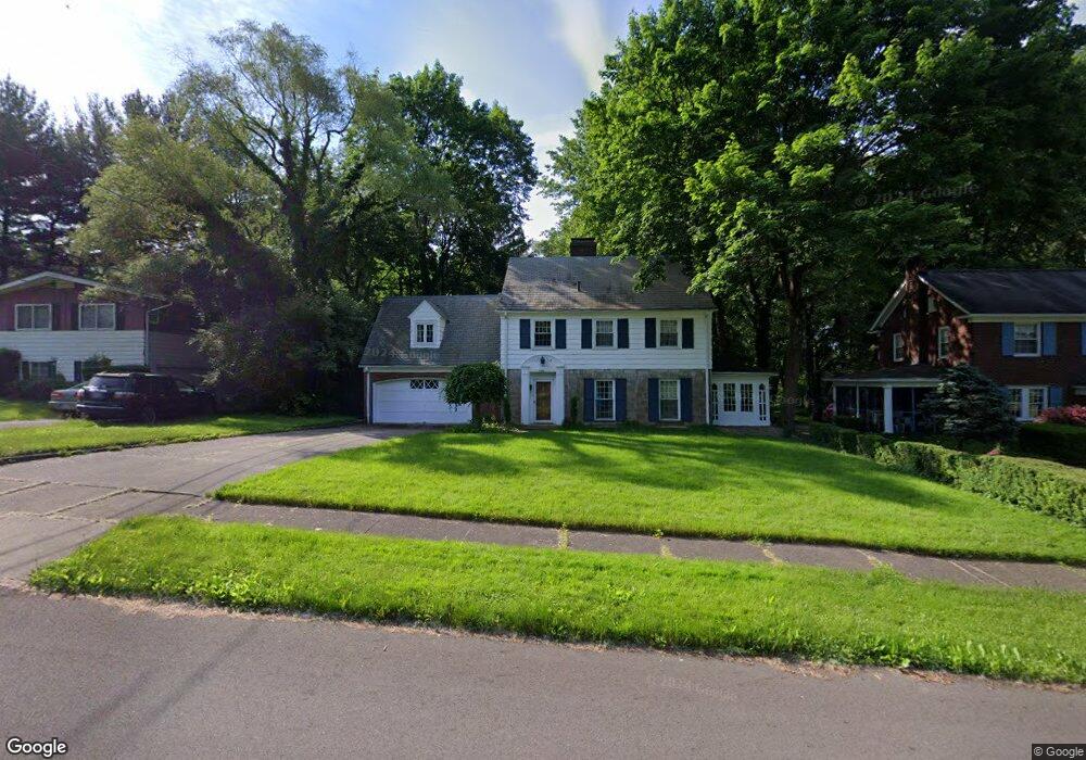
940 Thorndale Dr Akron, OH 44320
West Akron NeighborhoodEstimated Value: $190,000 - $214,512
4
Beds
3
Baths
1,816
Sq Ft
$113/Sq Ft
Est. Value
About This Home
This home is located at 940 Thorndale Dr, Akron, OH 44320 and is currently estimated at $205,378, approximately $113 per square foot. 940 Thorndale Dr is a home located in Summit County with nearby schools including Summit Academy School, Our Lady Of The Elms Elementary School, and Julie Billiart School Akron.
Ownership History
Date
Name
Owned For
Owner Type
Purchase Details
Closed on
Nov 26, 1996
Sold by
Wade James G
Bought by
Popp Daniel E and Popp Vicky A
Current Estimated Value
Home Financials for this Owner
Home Financials are based on the most recent Mortgage that was taken out on this home.
Original Mortgage
$100,000
Outstanding Balance
$10,386
Interest Rate
7.94%
Mortgage Type
New Conventional
Estimated Equity
$194,992
Create a Home Valuation Report for This Property
The Home Valuation Report is an in-depth analysis detailing your home's value as well as a comparison with similar homes in the area
Home Values in the Area
Average Home Value in this Area
Purchase History
| Date | Buyer | Sale Price | Title Company |
|---|---|---|---|
| Popp Daniel E | $125,000 | -- |
Source: Public Records
Mortgage History
| Date | Status | Borrower | Loan Amount |
|---|---|---|---|
| Open | Popp Daniel E | $100,000 |
Source: Public Records
Tax History Compared to Growth
Tax History
| Year | Tax Paid | Tax Assessment Tax Assessment Total Assessment is a certain percentage of the fair market value that is determined by local assessors to be the total taxable value of land and additions on the property. | Land | Improvement |
|---|---|---|---|---|
| 2025 | $2,658 | $48,629 | $11,039 | $37,590 |
| 2024 | $2,658 | $48,629 | $11,039 | $37,590 |
| 2023 | $2,658 | $48,629 | $11,039 | $37,590 |
| 2022 | $2,415 | $34,490 | $7,830 | $26,660 |
| 2021 | $2,417 | $34,490 | $7,830 | $26,660 |
| 2020 | $2,382 | $34,490 | $7,830 | $26,660 |
| 2019 | $2,310 | $30,320 | $9,160 | $21,160 |
| 2018 | $2,280 | $30,320 | $9,160 | $21,160 |
| 2017 | $2,524 | $30,320 | $9,160 | $21,160 |
| 2016 | $2,526 | $33,270 | $9,160 | $24,110 |
| 2015 | $2,524 | $33,270 | $9,160 | $24,110 |
| 2014 | $2,504 | $33,270 | $9,160 | $24,110 |
| 2013 | $2,734 | $37,340 | $9,160 | $28,180 |
Source: Public Records
Map
Nearby Homes
- 1591 Delia Ave
- 632 Orlando Ave
- 724 Hayden Ave
- 1390 Delia Ave
- 773 Seward Ave
- 454 Roslyn Ave
- 693 Roslyn Ave
- S/L 40 W Sunset View Dr
- S/L 37 W Sunset View Dr
- S/L 39 W Sunset View Dr
- S/L 38 W Sunset View Dr
- 763 Cordova Ave
- 571 Crestview Ave
- 425 Orlando Ave
- S/L 8 Sunrise View Dr
- S/L 9 Sunrise View Dr
- S/L 7 Sunrise View Dr
- S/L 1 Sunrise View Dr
- 739 Roslyn Ave
- 815 Hayden Ave
- 948 Thorndale Dr
- 934 Thorndale Dr
- 594 Nome Ave
- 954 Thorndale Dr
- 606 Nome Ave
- 960 Thorndale Dr
- 1515 Delia Ave
- 1523 Delia Ave
- 1531 Delia Ave
- 966 Thorndale Dr
- 1507 Delia Ave
- 1539 Delia Ave
- 585 Nome Ave
- 597 Nome Ave
- 601 Nome Ave
- 1545 Delia Ave
- 972 Thorndale Dr
- 1495 Delia Ave
- 1551 Delia Ave
- 0 Thorndale Dr Unit 3975478