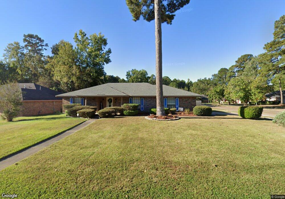
9400 Lytham Dr Shreveport, LA 71129
Pines Road NeighborhoodEstimated Value: $235,186 - $251,000
3
Beds
2
Baths
1,984
Sq Ft
$122/Sq Ft
Est. Value
About This Home
This home is located at 9400 Lytham Dr, Shreveport, LA 71129 and is currently estimated at $241,797, approximately $121 per square foot. 9400 Lytham Dr is a home located in Caddo Parish with nearby schools including Fairfield Magnet School, Judson Fundamental Elementary School, and South Highlands Elementary.
Ownership History
Date
Name
Owned For
Owner Type
Purchase Details
Closed on
Sep 30, 2008
Sold by
Bossell Stephen R and Bossell Juanita A
Bought by
Sheppard Patricia Ann
Current Estimated Value
Home Financials for this Owner
Home Financials are based on the most recent Mortgage that was taken out on this home.
Original Mortgage
$164,788
Outstanding Balance
$110,053
Interest Rate
6.52%
Mortgage Type
Unknown
Estimated Equity
$131,744
Create a Home Valuation Report for This Property
The Home Valuation Report is an in-depth analysis detailing your home's value as well as a comparison with similar homes in the area
Home Values in the Area
Average Home Value in this Area
Purchase History
| Date | Buyer | Sale Price | Title Company |
|---|---|---|---|
| Sheppard Patricia Ann | $167,375 | First Commerce Title Co Inc |
Source: Public Records
Mortgage History
| Date | Status | Borrower | Loan Amount |
|---|---|---|---|
| Open | Sheppard Patricia Ann | $164,788 |
Source: Public Records
Tax History Compared to Growth
Tax History
| Year | Tax Paid | Tax Assessment Tax Assessment Total Assessment is a certain percentage of the fair market value that is determined by local assessors to be the total taxable value of land and additions on the property. | Land | Improvement |
|---|---|---|---|---|
| 2024 | $2,645 | $16,965 | $1,736 | $15,229 |
| 2023 | $2,472 | $15,508 | $1,653 | $13,855 |
| 2022 | $2,472 | $15,508 | $1,653 | $13,855 |
| 2021 | $2,434 | $15,508 | $1,653 | $13,855 |
| 2020 | $2,434 | $15,508 | $1,653 | $13,855 |
| 2019 | $2,475 | $15,302 | $1,653 | $13,649 |
| 2018 | $1,005 | $15,302 | $1,653 | $13,649 |
| 2017 | $2,514 | $15,302 | $1,653 | $13,649 |
| 2015 | $1,122 | $16,160 | $1,650 | $14,510 |
| 2014 | $1,131 | $16,160 | $1,650 | $14,510 |
| 2013 | -- | $16,160 | $1,650 | $14,510 |
Source: Public Records
Map
Nearby Homes
- 9319 Lytham Dr
- 9440 Castlebrook Dr
- 9317 Newcastle Blvd
- 9430 Ashmont St
- 5613 N Heatherstone Dr
- 9305 Castlebrook Dr
- 9416 E Heatherstone Dr
- 5610 Kenilworth Cir
- 0 Industrial Rd
- 5614 Red Pine
- 8844 Chadwick Dr
- 9124 Hearth Ln
- Roosevelt Plan at New Castle Pines
- Jefferson w/ Bonus Plan at New Castle Pines
- Evangeline Plan at New Castle Pines
- Tiara Plan at New Castle Pines
- Ravenwood Plan at New Castle Pines
- Jefferson Plan at New Castle Pines
- Abby Plan at New Castle Pines
- Montana Plan at New Castle Pines
- 9404 Lytham Dr
- 9403 Newcastle Blvd
- 9408 Lytham Dr
- 9330 Lytham Dr
- 9402 Newcastle Blvd
- 9412 Lytham Dr
- 9401 Lytham Dr
- 9405 Lytham Dr
- 9326 Lytham Dr
- 9406 Newcastle Blvd
- 9409 Lytham Dr
- 9411 Newcastle Blvd
- 9339 Lytham Dr
- 9410 Newcastle Blvd
- 9416 Lytham Dr
- 9413 Lytham Dr
- 9407 Bentwood Dr
- 9322 Lytham Dr
- 9335 Lytham Dr
- 9414 Newcastle Blvd