9404 Razor Creek Rd Shepherd, MT 59079
Estimated Value: $470,000 - $807,520
3
Beds
3
Baths
1,808
Sq Ft
$325/Sq Ft
Est. Value
About This Home
This home is located at 9404 Razor Creek Rd, Shepherd, MT 59079 and is currently estimated at $587,173, approximately $324 per square foot. 9404 Razor Creek Rd is a home located in Yellowstone County with nearby schools including Shepherd Elementary School, Shepherd Middle School, and Shepherd High School.
Ownership History
Date
Name
Owned For
Owner Type
Purchase Details
Closed on
Jul 14, 2023
Sold by
Schleder Lorraine Susan
Bought by
Mccaffree Clay J and Mccaffree Andrea J
Current Estimated Value
Purchase Details
Closed on
May 28, 2020
Sold by
Schleder Leonard A and Schleder Jacqueline Anne
Bought by
Schleder Lorraine Susan
Home Financials for this Owner
Home Financials are based on the most recent Mortgage that was taken out on this home.
Original Mortgage
$120,000
Interest Rate
3.3%
Mortgage Type
Credit Line Revolving
Purchase Details
Closed on
Sep 14, 2016
Sold by
Schleder Leonard A and Schleder Jacqueline Anne
Bought by
Schleder Leonard A and Schleder Jacqueline Anne
Create a Home Valuation Report for This Property
The Home Valuation Report is an in-depth analysis detailing your home's value as well as a comparison with similar homes in the area
Home Values in the Area
Average Home Value in this Area
Purchase History
| Date | Buyer | Sale Price | Title Company |
|---|---|---|---|
| Mccaffree Clay J | -- | First Montana Title Company | |
| Schleder Lorraine Susan | -- | First American Title | |
| Schleder Leonard A | -- | None Available |
Source: Public Records
Mortgage History
| Date | Status | Borrower | Loan Amount |
|---|---|---|---|
| Previous Owner | Schleder Lorraine Susan | $120,000 |
Source: Public Records
Tax History Compared to Growth
Tax History
| Year | Tax Paid | Tax Assessment Tax Assessment Total Assessment is a certain percentage of the fair market value that is determined by local assessors to be the total taxable value of land and additions on the property. | Land | Improvement |
|---|---|---|---|---|
| 2025 | $3,584 | $454,000 | $54,110 | $399,890 |
| 2024 | $3,584 | $384,823 | $45,173 | $339,650 |
| 2023 | $3,646 | $384,823 | $45,173 | $339,650 |
| 2022 | $3,534 | $328,889 | $35,589 | $293,300 |
| 2021 | $3,525 | $328,889 | $0 | $0 |
| 2020 | $3,436 | $309,741 | $0 | $0 |
| 2019 | $765 | $210,361 | $0 | $0 |
| 2018 | $702 | $189,810 | $0 | $0 |
| 2017 | $690 | $189,810 | $0 | $0 |
| 2016 | $668 | $193,926 | $0 | $0 |
| 2015 | $663 | $193,926 | $0 | $0 |
| 2014 | $1,780 | $92,131 | $0 | $0 |
Source: Public Records
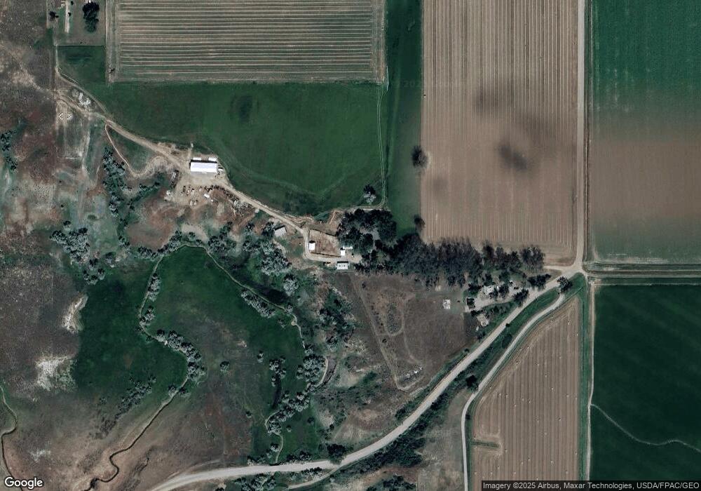
Map
Nearby Homes
- 8700 Fox Run
- 6835 Eagle Bend Blvd
- 7500 Eagle Bend Blvd
- 6732 Pinto Dr
- 10550 Reno Ln
- 9705 Shepherd Rd
- 10052 Floating Island Way
- 5652 Bengston Rd
- 8020 Wade St
- 2573 N 8th Rd
- 2573 Road 8
- 2285 N 9th Rd
- 5358 Yeoman Rd
- 7133 Mustang Rd
- 1225 Homestead Dr
- TBD 12 Mile Rd
- 4935 Lewies Way
- 5840,5850,5904 Lunder Ln
- 4820 Maribrooke Rd
- 0 Great Northern Unit 354449
- 9345 Razor Creek Rd
- 9355 Razor Creek Rd
- 7206 Scandia Rd
- 7606 Scandia Rd
- 7646 Scandia Rd
- 7801 Scandia Rd
- 9807 C A Rd
- 7205 Church Rd
- 8802 Barton Place
- 8802 Barton Place
- 8750 Turkey Trail
- 8938 Scandia Rd
- 6700 Eagle Bend Blvd
- 5785 Eagle Bend Blvd
- 15 BK 8 Eagle Bend Blvd
- 13 BK 8 Eagle Bend Blvd
- 15 BK 8 Eagle Bend Blvd
- 1 BK 7 Eagle Bend Blvd
- LT 3 BLK 7 Eagle Bend of the Yellowstone
- 1 Turkey Trail