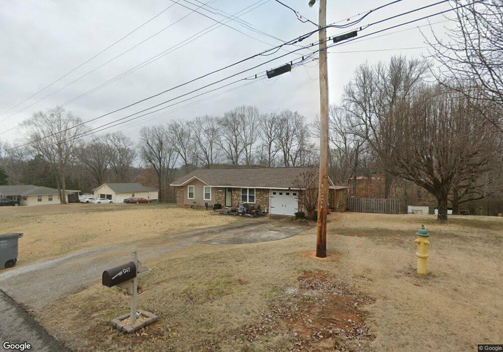
941 Joan Ln Killen, AL 35645
Estimated Value: $155,000 - $171,000
3
Beds
1
Bath
1,167
Sq Ft
$142/Sq Ft
Est. Value
About This Home
This home is located at 941 Joan Ln, Killen, AL 35645 and is currently estimated at $165,361, approximately $141 per square foot. 941 Joan Ln is a home located in Lauderdale County with nearby schools including Brooks Elementary School and Underwood Elementary School.
Ownership History
Date
Name
Owned For
Owner Type
Purchase Details
Closed on
Mar 3, 2011
Sold by
Crosslin Walcie and Garner Carol Reshea
Bought by
Cleveland Paula
Current Estimated Value
Purchase Details
Closed on
Sep 1, 2010
Sold by
Federal National Mortgage Association
Bought by
Garner Carolyn and Crosslin Walcie
Home Financials for this Owner
Home Financials are based on the most recent Mortgage that was taken out on this home.
Original Mortgage
$52,865
Interest Rate
4.52%
Purchase Details
Closed on
Jan 12, 2007
Sold by
Tatum Becky B
Bought by
Wilkes Bradley R and Wilkes Lastenia M
Create a Home Valuation Report for This Property
The Home Valuation Report is an in-depth analysis detailing your home's value as well as a comparison with similar homes in the area
Home Values in the Area
Average Home Value in this Area
Purchase History
| Date | Buyer | Sale Price | Title Company |
|---|---|---|---|
| Cleveland Paula | -- | -- | |
| Garner Carolyn | -- | -- | |
| Wilkes Bradley R | -- | -- |
Source: Public Records
Mortgage History
| Date | Status | Borrower | Loan Amount |
|---|---|---|---|
| Previous Owner | Garner Carolyn | $52,865 |
Source: Public Records
Tax History
| Year | Tax Paid | Tax Assessment Tax Assessment Total Assessment is a certain percentage of the fair market value that is determined by local assessors to be the total taxable value of land and additions on the property. | Land | Improvement |
|---|---|---|---|---|
| 2025 | $357 | $10,120 | $0 | $0 |
| 2024 | $342 | $9,740 | $620 | $9,120 |
| 2023 | $392 | $580 | $580 | $0 |
| 2022 | $316 | $7,880 | $0 | $0 |
| 2021 | $280 | $7,000 | $0 | $0 |
| 2020 | $274 | $6,860 | $0 | $0 |
| 2019 | $259 | $6,500 | $0 | $0 |
| 2018 | $230 | $5,800 | $0 | $0 |
| 2017 | $220 | $5,560 | $0 | $0 |
| 2016 | $220 | $5,560 | $0 | $0 |
| 2015 | $220 | $5,560 | $0 | $0 |
| 2014 | $224 | $5,640 | $0 | $0 |
Source: Public Records
Map
Nearby Homes
- 964 Joan Ln
- 233 Brookside Dr
- 1008 Brookhill Dr
- 00 Highway 72
- 55 Spinnaker Ln
- 318 Shaler Dr
- 0 Simpson St
- 58 Cole Creek Cove
- 538 Heron Cove Rd
- 0 Heron CV Rd Unit 525440
- 88 Cole Creek Cove
- 0 County Road 465
- 019 Lingerlost Rd
- lot 21 Lingerlost Rd
- 132 Cole Creek Cove
- 8235 County Road 25
- 300 Beech Dr
- 00 County Road 25
- 145 Harbor Close
- 135 Harbor Close
Your Personal Tour Guide
Ask me questions while you tour the home.