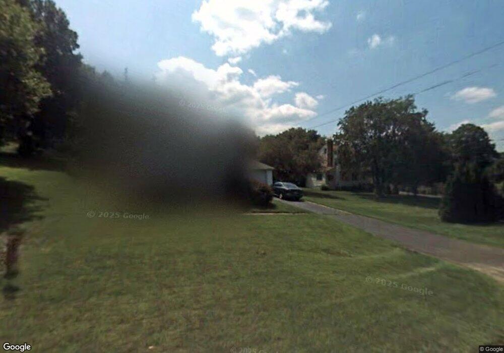
941 Randolph Rd Middletown, CT 06457
Estimated Value: $272,000 - $328,000
1
Bed
2
Baths
572
Sq Ft
$527/Sq Ft
Est. Value
About This Home
This home is located at 941 Randolph Rd, Middletown, CT 06457 and is currently estimated at $301,291, approximately $526 per square foot. 941 Randolph Rd is a home located in Middlesex County with nearby schools including Wesley School, Middletown High School, and St John Paul II School.
Ownership History
Date
Name
Owned For
Owner Type
Purchase Details
Closed on
Aug 28, 2007
Sold by
Anderson Joann A
Bought by
Urbanski Dorothy
Current Estimated Value
Home Financials for this Owner
Home Financials are based on the most recent Mortgage that was taken out on this home.
Original Mortgage
$164,900
Outstanding Balance
$103,111
Interest Rate
6.78%
Estimated Equity
$198,180
Purchase Details
Closed on
Nov 30, 2005
Sold by
Nagy Christine A
Bought by
Anderson Joann A
Home Financials for this Owner
Home Financials are based on the most recent Mortgage that was taken out on this home.
Original Mortgage
$115,000
Interest Rate
5.75%
Purchase Details
Closed on
Aug 17, 2001
Sold by
Alger Lynellen
Bought by
Secore Christine A
Purchase Details
Closed on
Sep 18, 1998
Sold by
Suchocki John P Est
Bought by
Pape Lynellen
Create a Home Valuation Report for This Property
The Home Valuation Report is an in-depth analysis detailing your home's value as well as a comparison with similar homes in the area
Home Values in the Area
Average Home Value in this Area
Purchase History
| Date | Buyer | Sale Price | Title Company |
|---|---|---|---|
| Urbanski Dorothy | $170,000 | -- | |
| Anderson Joann A | $155,000 | -- | |
| Secore Christine A | $78,500 | -- | |
| Pape Lynellen | $70,000 | -- |
Source: Public Records
Mortgage History
| Date | Status | Borrower | Loan Amount |
|---|---|---|---|
| Open | Pape Lynellen | $164,900 | |
| Previous Owner | Pape Lynellen | $115,000 | |
| Previous Owner | Pape Lynellen | $87,000 | |
| Previous Owner | Pape Lynellen | $21,670 |
Source: Public Records
Tax History
| Year | Tax Paid | Tax Assessment Tax Assessment Total Assessment is a certain percentage of the fair market value that is determined by local assessors to be the total taxable value of land and additions on the property. | Land | Improvement |
|---|---|---|---|---|
| 2025 | $4,642 | $125,430 | $57,370 | $68,060 |
| 2024 | $4,442 | $125,430 | $57,370 | $68,060 |
| 2023 | $4,216 | $125,430 | $57,370 | $68,060 |
| 2022 | $3,570 | $86,540 | $36,230 | $50,310 |
| 2021 | $3,554 | $86,540 | $36,230 | $50,310 |
| 2020 | $3,548 | $86,540 | $36,230 | $50,310 |
| 2019 | $3,566 | $86,540 | $36,230 | $50,310 |
| 2018 | $3,443 | $86,540 | $36,230 | $50,310 |
| 2017 | $3,285 | $84,930 | $42,270 | $42,660 |
| 2016 | $3,219 | $84,930 | $42,270 | $42,660 |
| 2015 | $3,148 | $84,930 | $42,270 | $42,660 |
| 2014 | $3,145 | $84,930 | $42,270 | $42,660 |
Source: Public Records
Map
Nearby Homes
- 909 Randolph Rd
- 50 Cedar St
- 63 Millbrook Rd
- 58 Durant Terrace
- 122 Baldwin Dr
- 70 Jack English Dr
- 6 Hillside Ct
- Lot 3 Coleman Rd
- 6 Bidwell Terrace
- 42 Saybrook Rd
- 5 Wall St
- 37 Dobson Cir
- 11 Mansfield Terrace
- 15 Blue Spruce St
- 91 Gleeson Rd
- 45 Mckenna Dr
- 7 Blue Bell Ln
- 7 Countryside Ln Unit 4
- 180 Randolph Rd
- Lot 2 Coleman Rd
- 41 Caroldon Rd
- 961 Randolph Rd
- 933 Randolph Rd
- 33 Caroldon Rd
- 960 Randolph Rd
- 25 Caroldon Rd
- 44 Caroldon Rd
- 966 Randolph Rd
- 15 Victoria Heights
- 32 Caroldon Rd
- 21 Caroldon Rd
- 27 Victoria Heights
- 970 Randolph Rd
- 615 Hunting Hill Ave
- 623 Hunting Hill Ave
- 11 Caroldon Rd
- 609 Hunting Hill Ave
- 170 Clover St
- 134 Clover St
- 180 Clover St
Your Personal Tour Guide
Ask me questions while you tour the home.