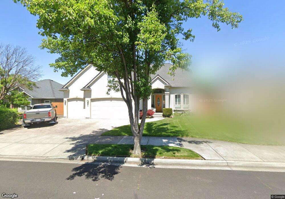
941 St Andrews Way Eagle Point, OR 97524
Estimated Value: $669,427 - $775,000
5
Beds
3
Baths
3,700
Sq Ft
$201/Sq Ft
Est. Value
About This Home
This home is located at 941 St Andrews Way, Eagle Point, OR 97524 and is currently estimated at $742,357, approximately $200 per square foot. 941 St Andrews Way is a home located in Jackson County with nearby schools including Eagle Point Middle School, White Mountain Middle School, and Eagle Point High School.
Ownership History
Date
Name
Owned For
Owner Type
Purchase Details
Closed on
Jul 10, 2002
Sold by
Thurmond Construction Inc
Bought by
Chambers Howard F and Chambers Olivia R
Current Estimated Value
Home Financials for this Owner
Home Financials are based on the most recent Mortgage that was taken out on this home.
Original Mortgage
$190,000
Outstanding Balance
$80,545
Interest Rate
6.71%
Estimated Equity
$661,812
Purchase Details
Closed on
Dec 24, 2001
Sold by
Thurmond Mart and Thurmond Barbara
Bought by
Thurmond Construction Inc
Create a Home Valuation Report for This Property
The Home Valuation Report is an in-depth analysis detailing your home's value as well as a comparison with similar homes in the area
Home Values in the Area
Average Home Value in this Area
Purchase History
| Date | Buyer | Sale Price | Title Company |
|---|---|---|---|
| Chambers Howard F | $335,000 | Jackson County Title | |
| Thurmond Construction Inc | -- | -- |
Source: Public Records
Mortgage History
| Date | Status | Borrower | Loan Amount |
|---|---|---|---|
| Open | Chambers Howard F | $190,000 |
Source: Public Records
Tax History Compared to Growth
Tax History
| Year | Tax Paid | Tax Assessment Tax Assessment Total Assessment is a certain percentage of the fair market value that is determined by local assessors to be the total taxable value of land and additions on the property. | Land | Improvement |
|---|---|---|---|---|
| 2025 | $6,379 | $466,160 | $86,980 | $379,180 |
| 2024 | $6,379 | $452,590 | $84,450 | $368,140 |
| 2023 | $6,162 | $439,410 | $81,990 | $357,420 |
| 2022 | $5,994 | $439,410 | $81,990 | $357,420 |
| 2021 | $5,817 | $426,620 | $79,600 | $347,020 |
| 2020 | $6,179 | $414,200 | $77,280 | $336,920 |
| 2019 | $6,085 | $390,430 | $72,850 | $317,580 |
| 2018 | $5,969 | $379,060 | $70,730 | $308,330 |
| 2017 | $5,822 | $379,060 | $70,730 | $308,330 |
| 2016 | $5,709 | $357,310 | $66,670 | $290,640 |
| 2015 | $5,522 | $357,310 | $66,670 | $290,640 |
| 2014 | $5,765 | $361,960 | $62,840 | $299,120 |
Source: Public Records
Map
Nearby Homes
- 210 Bellerive Dr
- 24 Blackstone Ct
- 203 Bellerive Dr
- 162 Bellerive Dr
- 220 Pine Lake Dr
- 875 St Andrews Way
- 131 Spanish Bay Ct
- 964 Pumpkin Ridge
- 131 Bellerive Dr
- 997 Arrowhead Trail
- 389 Leandra Ln
- 1146 Pumpkin Unit 335
- 949 Arrowhead Trail
- 384 Robert Trent Jones Blvd
- 375 Robert Trent Jones Blvd
- 398 Robert Trent Jones Blvd
- 422 Robert Trent Jones Blvd
- 1164 Pumpkin Unit 332
- 1158 Pumpkin Unit 333
- 23 Blue Heron Ct
- 947 St Andrews Way
- 935 St Andrews Way
- 935 Saint Andrews Way
- 27 Blackstone Ct
- 929 St Andrews Way
- 953 St Andrews Way
- 982 Greenway Ct
- 21 Blackstone Ct
- 938 St Andrews Way
- 944 St Andrews Way
- 932 St Andrews Way
- 950 St Andrews Way
- 923 St Andrews Way
- 932 Greenway Ct
- 970 Greenway Ct
- 926 St Andrews Way
- 956 St Andrews Way
- 198 Bellerive Dr
- 18 Blackstone Ct
- 917 St Andrews Way