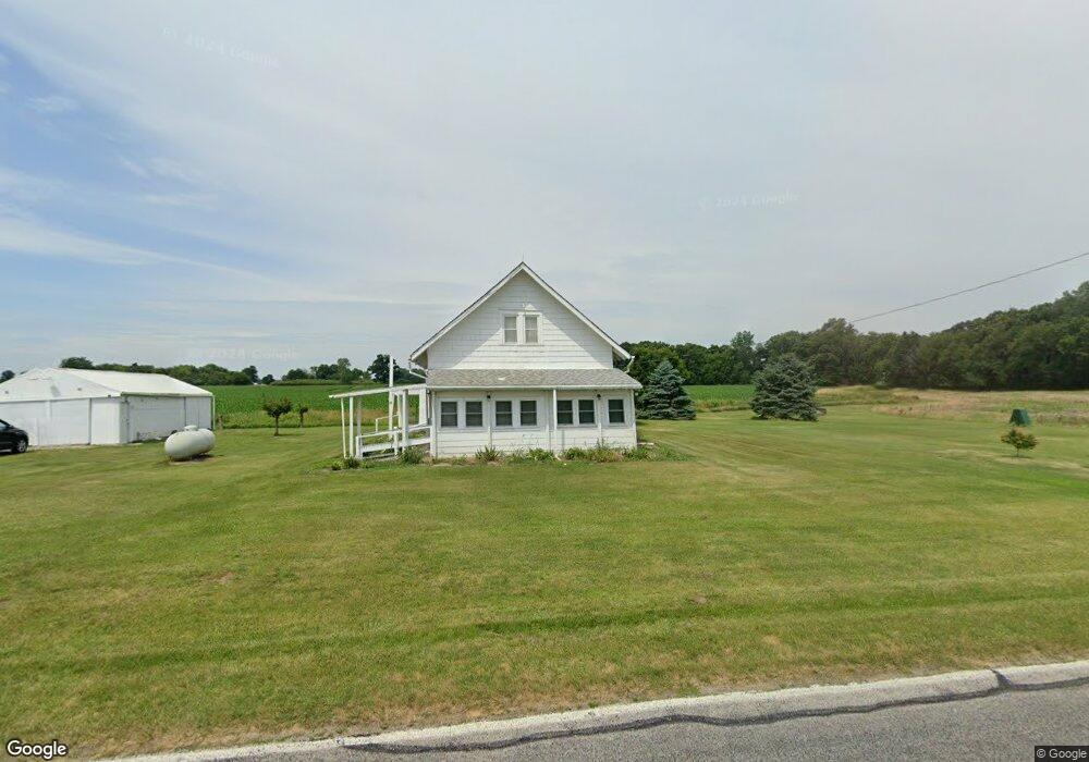
9411 County Road 12 Wauseon, OH 43567
Estimated Value: $118,950 - $277,000
2
Beds
1
Bath
1,108
Sq Ft
$165/Sq Ft
Est. Value
About This Home
This home is located at 9411 County Road 12, Wauseon, OH 43567 and is currently estimated at $182,488, approximately $164 per square foot. 9411 County Road 12 is a home with nearby schools including Delta Elementary School, Pike-Delta-York Middle School, and Pike-Delta-York High School.
Ownership History
Date
Name
Owned For
Owner Type
Purchase Details
Closed on
Dec 19, 2017
Sold by
Batting Clifford L
Bought by
Oyer Rex A and Oyer Ray M
Current Estimated Value
Purchase Details
Closed on
Jul 13, 2016
Sold by
Estate Of Ruth Kowalski
Bought by
Battig Clifford L
Purchase Details
Closed on
May 12, 2004
Sold by
Estate Of Stanley Kowalski
Bought by
Kowalski Ruth
Purchase Details
Closed on
Jan 1, 1990
Bought by
Kowalski Ruth and Kowalski Stanley
Create a Home Valuation Report for This Property
The Home Valuation Report is an in-depth analysis detailing your home's value as well as a comparison with similar homes in the area
Home Values in the Area
Average Home Value in this Area
Purchase History
| Date | Buyer | Sale Price | Title Company |
|---|---|---|---|
| Oyer Rex A | $13,000 | None Available | |
| Battig Clifford L | -- | Attorney | |
| Kowalski Ruth | -- | -- | |
| Kowalski Ruth | -- | -- |
Source: Public Records
Tax History Compared to Growth
Tax History
| Year | Tax Paid | Tax Assessment Tax Assessment Total Assessment is a certain percentage of the fair market value that is determined by local assessors to be the total taxable value of land and additions on the property. | Land | Improvement |
|---|---|---|---|---|
| 2024 | $1,374 | $35,530 | $16,210 | $19,320 |
| 2023 | $1,379 | $35,530 | $16,210 | $19,320 |
| 2022 | $1,365 | $27,300 | $13,510 | $13,790 |
| 2021 | $1,411 | $27,300 | $13,510 | $13,790 |
| 2020 | $1,408 | $27,300 | $13,510 | $13,790 |
| 2019 | $1,241 | $25,130 | $11,760 | $13,370 |
| 2018 | $814 | $25,130 | $11,760 | $13,370 |
| 2017 | $1,823 | $54,460 | $38,850 | $15,610 |
| 2016 | $2,110 | $48,730 | $34,550 | $14,180 |
| 2015 | $1,474 | $48,730 | $34,550 | $14,180 |
| 2014 | $1,467 | $48,730 | $34,550 | $14,180 |
| 2013 | $754 | $35,390 | $26,640 | $8,750 |
Source: Public Records
Map
Nearby Homes
- 11715 County Road L
- 7620 County Road 12
- 12500 County Road L
- 7373 County Road 12
- 10216 County Road 14
- 13242 Us Highway 20a
- 13354 U S 20a
- 0 County Road L
- 14900 County Road H
- 460 Airport Hwy
- 1209 Apache Dr
- Integrity 2080 Plan at Arrowhead Trails
- Integrity 1830 Plan at Arrowhead Trails
- integrity 2280 Plan at Arrowhead Trails
- 14578 Us Highway 20a
- 1090 Seneca Dr
- 1062 Seneca Dr
- 1058 Seneca Dr
- 1066 Seneca Dr
- 1338 N Park Ln
- 9648 County Road 12
- 9691 County Road 12
- 9680 County Road 12
- 9750 County Road 12
- 9798 County Road 12
- 12112 County Road J
- 9820 County Road 12
- 12007 County Road J
- 12180 County Road J
- 11879 County Road J
- 9870 County Road 12
- 11771 County Road J
- 9922 County Road 12
- 11632 County Road J
- 9180 County Road E Unit 11-2
- 11665 County Road J
- 8985 County Road 12 1
- 11921 County Road K
- 11981 County Road K
- 9591 County Road 11-2