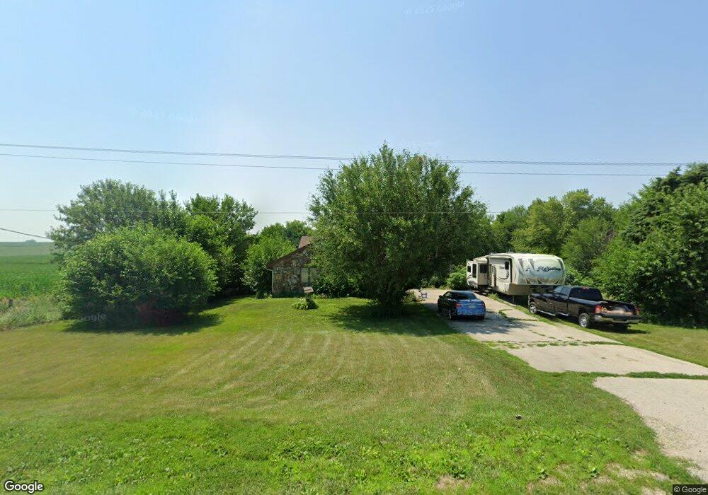
9411 Highway F48 W Colfax, IA 50054
Estimated Value: $315,000 - $467,000
4
Beds
3
Baths
1,762
Sq Ft
$219/Sq Ft
Est. Value
About This Home
This home is located at 9411 Highway F48 W, Colfax, IA 50054 and is currently estimated at $385,839, approximately $218 per square foot. 9411 Highway F48 W is a home located in Jasper County with nearby schools including Colfax-Mingo Elementary School and Colfax-Mingo High School.
Ownership History
Date
Name
Owned For
Owner Type
Purchase Details
Closed on
Feb 18, 2005
Sold by
Shugar James W and Shugar Jennifer A
Bought by
Qucen John and Stevens Debra L
Current Estimated Value
Home Financials for this Owner
Home Financials are based on the most recent Mortgage that was taken out on this home.
Original Mortgage
$233,000
Outstanding Balance
$141,616
Interest Rate
8.87%
Mortgage Type
Adjustable Rate Mortgage/ARM
Estimated Equity
$244,223
Create a Home Valuation Report for This Property
The Home Valuation Report is an in-depth analysis detailing your home's value as well as a comparison with similar homes in the area
Home Values in the Area
Average Home Value in this Area
Purchase History
| Date | Buyer | Sale Price | Title Company |
|---|---|---|---|
| Qucen John | $233,000 | None Available |
Source: Public Records
Mortgage History
| Date | Status | Borrower | Loan Amount |
|---|---|---|---|
| Open | Qucen John | $233,000 |
Source: Public Records
Tax History Compared to Growth
Tax History
| Year | Tax Paid | Tax Assessment Tax Assessment Total Assessment is a certain percentage of the fair market value that is determined by local assessors to be the total taxable value of land and additions on the property. | Land | Improvement |
|---|---|---|---|---|
| 2025 | $4,668 | $406,630 | $71,700 | $334,930 |
| 2024 | $4,668 | $346,650 | $49,460 | $297,190 |
| 2023 | $4,516 | $346,650 | $49,460 | $297,190 |
| 2022 | $3,894 | $282,970 | $49,460 | $233,510 |
| 2021 | $4,256 | $261,600 | $49,460 | $212,140 |
| 2020 | $4,256 | $263,980 | $47,540 | $216,440 |
| 2019 | $4,090 | $235,130 | $0 | $0 |
| 2018 | $4,090 | $235,130 | $0 | $0 |
| 2017 | $4,104 | $235,130 | $0 | $0 |
| 2016 | $4,104 | $235,130 | $0 | $0 |
| 2015 | $4,098 | $233,010 | $0 | $0 |
| 2014 | $3,800 | $233,010 | $0 | $0 |
Source: Public Records
Map
Nearby Homes
- 655 E Division St
- 624 S Goodrich St
- 400 S Goodrich St
- 520 S Oak Park Ave
- 20 S Oak Park Ave
- 1161 S Goodrich St
- 0000 Lincoln St
- 226 S Iowa St
- 222 E Broadway St
- 300 E Front St
- 200 Jefferson St
- 34 E Broadway St
- 108 S Walnut St
- 119 W Washington St
- 108 N West St
- 215 W Spring St
- 223 W Broadway St
- 501 W Broadway St
- HWY 117 at Intersection of Fleet Ave
- 11213 Orchard Ave
- 9549 Highway F48 W
- 9549 Highway F48 W
- 9549 Highway F 48 W
- 9243 S 28th Ave W
- 9600 Highway F48 W
- 9708 Highway F48 W
- 9783 Highway F48 W
- 9784 Highway F48 W Unit A
- 9784 Highway F48 W
- 9784 Highway F48 W
- 9006 S 28th Ave W
- 3573 W 92nd St S
- 9889 Highway F48 W
- 2085 W 92nd St S
- 630 S League Rd
- 630 S League Rd
- 2950 Highway 117 S
- 2950 Highway 117 S
- 2734 League Rd Unit A
- 2734 League Rd