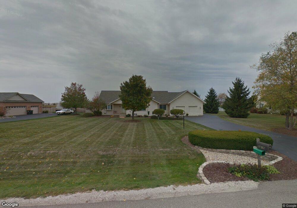
9415 Anthony Ln Spring Grove, IL 60081
Estimated Value: $419,200 - $496,000
Studio
1
Bath
2,004
Sq Ft
$233/Sq Ft
Est. Value
About This Home
This home is located at 9415 Anthony Ln, Spring Grove, IL 60081 and is currently estimated at $466,550, approximately $232 per square foot. 9415 Anthony Ln is a home located in McHenry County with nearby schools including Richmond Grade School, Nippersink Middle School, and Richmond-Burton High School.
Ownership History
Date
Name
Owned For
Owner Type
Purchase Details
Closed on
May 28, 2013
Sold by
Tstinic Concetta
Bought by
Tstinic Connie L and Connie L Tstinic Living Trust
Current Estimated Value
Purchase Details
Closed on
Jul 11, 1995
Sold by
Mchenry State Bank
Bought by
Tstinic James M and Tstinic Concetta
Home Financials for this Owner
Home Financials are based on the most recent Mortgage that was taken out on this home.
Original Mortgage
$8,900
Interest Rate
7.79%
Mortgage Type
Purchase Money Mortgage
Create a Home Valuation Report for This Property
The Home Valuation Report is an in-depth analysis detailing your home's value as well as a comparison with similar homes in the area
Home Values in the Area
Average Home Value in this Area
Purchase History
| Date | Buyer | Sale Price | Title Company |
|---|---|---|---|
| Tstinic Connie L | -- | None Available | |
| Tstinic James M | $44,000 | Northern Land Title Corp |
Source: Public Records
Mortgage History
| Date | Status | Borrower | Loan Amount |
|---|---|---|---|
| Closed | Tstinic James M | $8,900 |
Source: Public Records
Tax History
| Year | Tax Paid | Tax Assessment Tax Assessment Total Assessment is a certain percentage of the fair market value that is determined by local assessors to be the total taxable value of land and additions on the property. | Land | Improvement |
|---|---|---|---|---|
| 2024 | $8,425 | $128,176 | $21,072 | $107,104 |
| 2023 | $8,322 | $119,545 | $19,653 | $99,892 |
| 2022 | $8,018 | $105,159 | $17,288 | $87,871 |
| 2021 | $7,591 | $99,132 | $16,297 | $82,835 |
| 2020 | $7,400 | $94,764 | $15,579 | $79,185 |
| 2019 | $7,439 | $93,290 | $15,337 | $77,953 |
| 2018 | $7,573 | $90,406 | $14,863 | $75,543 |
| 2017 | $7,433 | $84,896 | $13,957 | $70,939 |
| 2016 | $7,435 | $81,077 | $13,329 | $67,748 |
| 2013 | -- | $72,388 | $14,208 | $58,180 |
Source: Public Records
Map
Nearby Homes
- 8610 Steeple Ln
- 1914 Spring Dale Dr
- 8501 Country Shire Ln
- 2102 W Hunters Ln
- 8300 Appaloosa Ln
- 9436 Bellaire Ln
- 7822 N Pillow Hill Rd
- 7830 N Pillow Hill Rd
- 11106 Siedschlag Rd
- Lot 65,66,&64 Main Street Rd
- 10905 Breezy Lawn Rd
- Lot 56 & 57 Beverly Way
- Lot 58 & 59 Beverly Way
- Lot 60 & 61 Beverly Way
- 11111 Huron Dr
- 2214 Main Street Rd
- 8002 Morgan Cir
- 11013 Serenity Path
- 11101 Serenity Path
- 1410 Linden Rd
- 9419 Anthony Ln
- 9409 Anthony Ln
- 9412 Anthony Ln
- 9403 Anthony Ln
- 1012 Suzanne Ln
- 9418 Anthony Ln
- 1016 Suzanne Ln
- 9404 Anthony Ln
- 1004 Suzanne Ln
- 9319 Anthony Ln
- 9415 Nicholas Ln
- 9318 Anthony Ln
- 9409 Nicholas Ln
- 915 Suzanne Ln
- 918 Suzanne Ln
- 9403 Nicholas Ln
- 9311 Anthony Ln
- 9317 Nicholas Ln
- 912 Suzanne Ln
- 9312 Anthony Ln
Your Personal Tour Guide
Ask me questions while you tour the home.