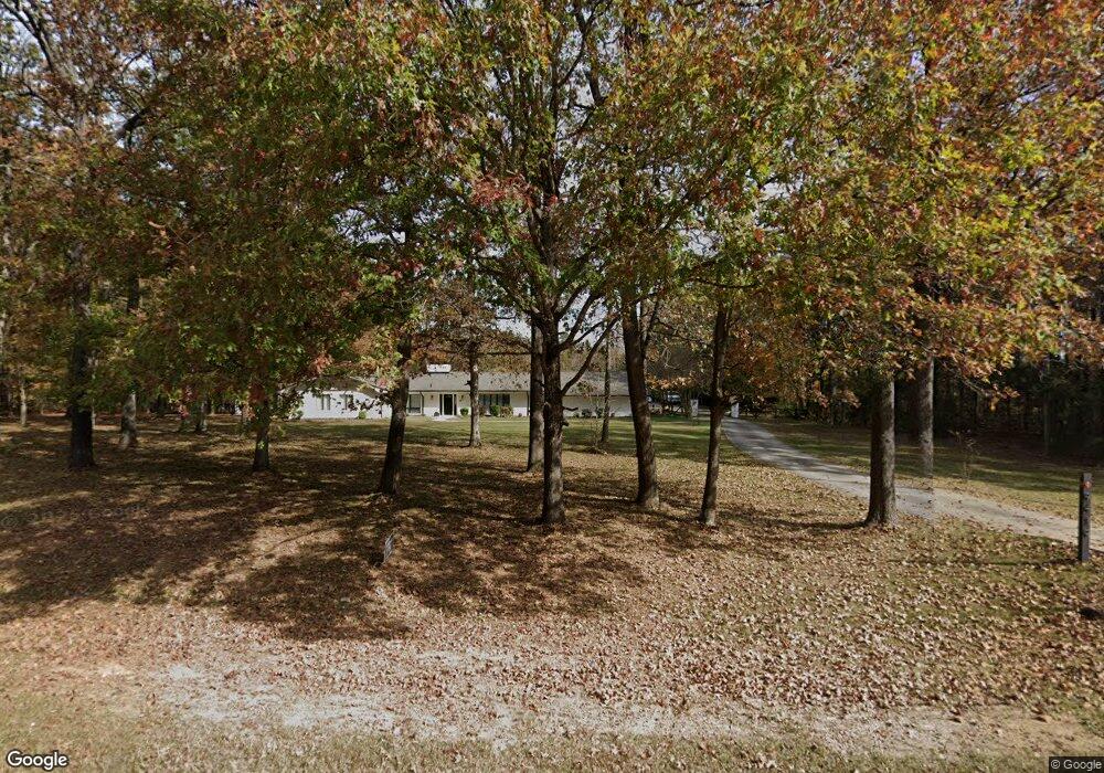
9419 Highway 601 Midland, NC 28107
Estimated Value: $710,000 - $786,924
4
Beds
5
Baths
4,979
Sq Ft
$148/Sq Ft
Est. Value
About This Home
This home is located at 9419 Highway 601, Midland, NC 28107 and is currently estimated at $734,981, approximately $147 per square foot. 9419 Highway 601 is a home located in Cabarrus County with nearby schools including Bethel Elementary School, C.C. Griffin Middle School, and Central Cabarrus High School.
Ownership History
Date
Name
Owned For
Owner Type
Purchase Details
Closed on
Jul 27, 2012
Sold by
Persson Fredrik B and Persson Monica J
Bought by
Criswell Berry Blane and Criswell Carrie Ann
Current Estimated Value
Home Financials for this Owner
Home Financials are based on the most recent Mortgage that was taken out on this home.
Original Mortgage
$274,928
Outstanding Balance
$190,547
Interest Rate
3.68%
Mortgage Type
FHA
Estimated Equity
$544,434
Purchase Details
Closed on
Dec 31, 2002
Sold by
Earl John E
Bought by
Persson Fredrick B and Persson Monica Jo
Home Financials for this Owner
Home Financials are based on the most recent Mortgage that was taken out on this home.
Original Mortgage
$251,750
Interest Rate
5.99%
Mortgage Type
Purchase Money Mortgage
Purchase Details
Closed on
Aug 1, 1988
Bought by
Earl John E
Create a Home Valuation Report for This Property
The Home Valuation Report is an in-depth analysis detailing your home's value as well as a comparison with similar homes in the area
Home Values in the Area
Average Home Value in this Area
Purchase History
| Date | Buyer | Sale Price | Title Company |
|---|---|---|---|
| Criswell Berry Blane | $280,000 | None Available | |
| Persson Fredrick B | $265,000 | -- | |
| Earl John E | $125,000 | -- |
Source: Public Records
Mortgage History
| Date | Status | Borrower | Loan Amount |
|---|---|---|---|
| Open | Criswell Berry Blane | $274,928 | |
| Previous Owner | Persson Fredrick B | $251,750 |
Source: Public Records
Tax History Compared to Growth
Tax History
| Year | Tax Paid | Tax Assessment Tax Assessment Total Assessment is a certain percentage of the fair market value that is determined by local assessors to be the total taxable value of land and additions on the property. | Land | Improvement |
|---|---|---|---|---|
| 2025 | $4,065 | $601,280 | $138,000 | $463,280 |
| 2024 | $4,065 | $601,280 | $138,000 | $463,280 |
| 2023 | $3,140 | $373,830 | $69,000 | $304,830 |
| 2022 | $3,140 | $373,830 | $69,000 | $304,830 |
| 2021 | $3,140 | $373,830 | $69,000 | $304,830 |
| 2020 | $3,140 | $373,830 | $69,000 | $304,830 |
| 2019 | $2,716 | $323,340 | $89,700 | $233,640 |
| 2018 | $2,587 | $323,340 | $89,700 | $233,640 |
| 2017 | $2,522 | $323,340 | $89,700 | $233,640 |
| 2016 | $2,522 | $294,180 | $75,900 | $218,280 |
| 2015 | $2,248 | $294,180 | $75,900 | $218,280 |
| 2014 | $2,248 | $294,180 | $75,900 | $218,280 |
Source: Public Records
Map
Nearby Homes
- 8629 Hayden Way
- 10620 U S 601
- 10483 Troutman Rd
- 10116 Robert Bost Rd
- 10670 Troutman Rd
- 4207 Amanda Dr
- 11060 Teresia Ln
- 7787 Us Highway 601 S
- 10130 Reed Mine Rd
- 11055 Graybark Rd
- 3850 Willow Grove Ln Unit 24
- 10791 Hartsell Rd
- 11790 Thurber Place
- 4316 Tucker Chase Dr
- 11818 Paver Ln
- 11824 Paver Ln
- 4200 Wesley Dr
- 4245 Wesley Dr
- 0000 Nc Hwy 24 27 None
- 11500 Beagle St
- 9419 Highway 601
- 9325 Highway 601
- 9325 Highway 601
- 9450 Highway 601
- 9470 Highway 601
- 9351 Highway 601
- 9446 Highway 601
- 9350 Highway 601
- 9500 Highway 601
- 9347 Highway 601
- 9250 Highway 601
- 3965 Cal Bost Rd
- 9355 Highway 601
- 9155 601 Hwy
- 9220 Highway 601
- 3875 Cal Bost Rd
- 3711 Cal Bost Rd
- 9155 Highway 601
- 9155 Highway 601
- 9150 Highway 601