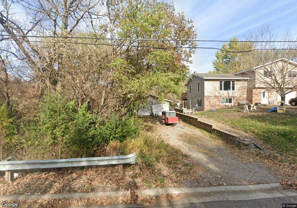
942 2nd Ave N Sauk Rapids, MN 56379
Estimated Value: $239,000 - $298,000
4
Beds
2
Baths
1,860
Sq Ft
$145/Sq Ft
Est. Value
About This Home
This home is located at 942 2nd Ave N, Sauk Rapids, MN 56379 and is currently estimated at $270,460, approximately $145 per square foot. 942 2nd Ave N is a home located in Benton County with nearby schools including Pleasant View Elementary School, Sauk Rapids-Rice Middle School, and Sauk Rapids-Rice Senior High School.
Ownership History
Date
Name
Owned For
Owner Type
Purchase Details
Closed on
Jul 22, 2021
Sold by
Determan Jesse L
Bought by
Stephenson Keith and Stephenson Rachelle
Current Estimated Value
Home Financials for this Owner
Home Financials are based on the most recent Mortgage that was taken out on this home.
Original Mortgage
$222,323
Outstanding Balance
$201,816
Interest Rate
2.93%
Mortgage Type
FHA
Estimated Equity
$68,644
Purchase Details
Closed on
Apr 13, 2009
Sold by
Determan Joel L and Determan Judith D
Bought by
Determan Jesse L
Home Financials for this Owner
Home Financials are based on the most recent Mortgage that was taken out on this home.
Original Mortgage
$107,850
Interest Rate
5%
Mortgage Type
FHA
Create a Home Valuation Report for This Property
The Home Valuation Report is an in-depth analysis detailing your home's value as well as a comparison with similar homes in the area
Home Values in the Area
Average Home Value in this Area
Purchase History
| Date | Buyer | Sale Price | Title Company |
|---|---|---|---|
| Stephenson Keith | $230,000 | Key Title & Closing Svcs Llc | |
| Determan Jesse L | $123,750 | -- | |
| Stephenson Keith Keith | $230,000 | -- |
Source: Public Records
Mortgage History
| Date | Status | Borrower | Loan Amount |
|---|---|---|---|
| Open | Stephenson Keith | $222,323 | |
| Previous Owner | Determan Jesse L | $107,850 | |
| Closed | Stephenson Keith Keith | $218,166 |
Source: Public Records
Tax History Compared to Growth
Tax History
| Year | Tax Paid | Tax Assessment Tax Assessment Total Assessment is a certain percentage of the fair market value that is determined by local assessors to be the total taxable value of land and additions on the property. | Land | Improvement |
|---|---|---|---|---|
| 2025 | $2,746 | $245,100 | $28,400 | $216,700 |
| 2024 | $2,748 | $235,000 | $28,400 | $206,600 |
| 2023 | $2,634 | $238,900 | $28,400 | $210,500 |
| 2022 | $2,412 | $212,000 | $25,800 | $186,200 |
| 2021 | $2,034 | $180,800 | $25,800 | $155,000 |
| 2018 | $1,718 | $119,500 | $20,609 | $98,891 |
| 2017 | $1,718 | $102,100 | $19,813 | $82,287 |
| 2016 | $1,684 | $126,000 | $24,800 | $101,200 |
| 2015 | $1,684 | $91,700 | $19,224 | $72,476 |
| 2014 | -- | $86,500 | $18,900 | $67,600 |
| 2013 | -- | $83,100 | $18,667 | $64,433 |
Source: Public Records
Map
Nearby Homes
- 1018 N Benton Dr
- 709 N Benton Dr
- 720 3rd Ave N
- 32467 County Road 1
- 32608 River Vista Ln
- 1209 Millstone Ct
- 3342 321st St
- 3300 321st St
- 18th 18th
- 117 6th Ave N
- 1107 10th Ave N
- 390 18th Street Ct NW
- 870 18th St NW
- 820 18th St NW
- 2021 Hillcrest Dr
- 1914 N Benton Dr
- 1809 Eastern Star Loop
- 1804 Oak Pond Dr
- 2004 Hillcrest Dr
- 1209 Oak Pond Dr