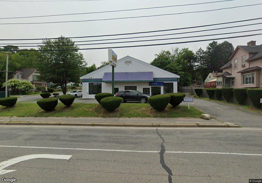
942 Grafton St Worcester, MA 01604
Grafton Hill NeighborhoodEstimated Value: $826,509
3
Beds
1
Bath
550
Sq Ft
$1,503/Sq Ft
Est. Value
About This Home
This home is located at 942 Grafton St, Worcester, MA 01604 and is currently estimated at $826,509, approximately $1,502 per square foot. 942 Grafton St is a home located in Worcester County with nearby schools including Roosevelt Elementary School, Jacob Hiatt Magnet School, and Chandler Magnet.
Ownership History
Date
Name
Owned For
Owner Type
Purchase Details
Closed on
Nov 30, 2009
Sold by
Lg Holdings Llc
Bought by
Midyat Prop Llc
Current Estimated Value
Purchase Details
Closed on
Jun 16, 2006
Sold by
Rb Single I Llc
Bought by
Lg Holdings Llc
Home Financials for this Owner
Home Financials are based on the most recent Mortgage that was taken out on this home.
Original Mortgage
$925,000
Interest Rate
6.62%
Mortgage Type
Commercial
Purchase Details
Closed on
Aug 3, 1999
Sold by
Toscano Anthony and Toscano Kathleen U
Bought by
Zoots Worcester Llc
Create a Home Valuation Report for This Property
The Home Valuation Report is an in-depth analysis detailing your home's value as well as a comparison with similar homes in the area
Home Values in the Area
Average Home Value in this Area
Purchase History
| Date | Buyer | Sale Price | Title Company |
|---|---|---|---|
| Midyat Prop Llc | $360,000 | -- | |
| Lg Holdings Llc | $840,000 | -- | |
| Zoots Worcester Llc | $200,000 | -- |
Source: Public Records
Mortgage History
| Date | Status | Borrower | Loan Amount |
|---|---|---|---|
| Previous Owner | Lg Holdings Llc | $925,000 |
Source: Public Records
Tax History Compared to Growth
Tax History
| Year | Tax Paid | Tax Assessment Tax Assessment Total Assessment is a certain percentage of the fair market value that is determined by local assessors to be the total taxable value of land and additions on the property. | Land | Improvement |
|---|---|---|---|---|
| 2025 | $11,930 | $417,000 | $213,200 | $203,800 |
| 2024 | $12,425 | $413,600 | $213,200 | $200,400 |
| 2023 | $11,719 | $374,900 | $185,400 | $189,500 |
| 2022 | $11,805 | $354,200 | $185,400 | $168,800 |
| 2021 | $14,350 | $396,400 | $141,100 | $255,300 |
| 2020 | $14,370 | $408,700 | $141,100 | $267,600 |
| 2019 | $14,264 | $408,700 | $141,100 | $267,600 |
| 2018 | $13,660 | $401,400 | $141,100 | $260,300 |
| 2017 | $12,988 | $394,400 | $141,100 | $253,300 |
| 2016 | $11,495 | $338,300 | $136,800 | $201,500 |
| 2015 | $10,734 | $338,300 | $136,800 | $201,500 |
| 2014 | $10,430 | $338,300 | $136,800 | $201,500 |
Source: Public Records
Map
Nearby Homes
- 270 Sunderland Rd Unit 37
- 270 Sunderland Rd Unit 73
- 63 Progressive St
- 61 Progressive St
- 330 Sunderland Rd Unit 87
- 11 Phoenix St
- 25 Stoneham Rd
- 53 Denver Terrace
- 11 Benson St
- 7 Atlas St
- 259 Massasoit Rd
- 266 Massasoit Rd
- 1195 Grafton St Unit 39
- 1201 Grafton St Unit 73
- 31 Crane St
- 119 Orton Street Extension
- 46 Vincent Cir
- 21 Middlesex Ave Unit 102
- 62 Allston Ave
- 10 Lamar Ave