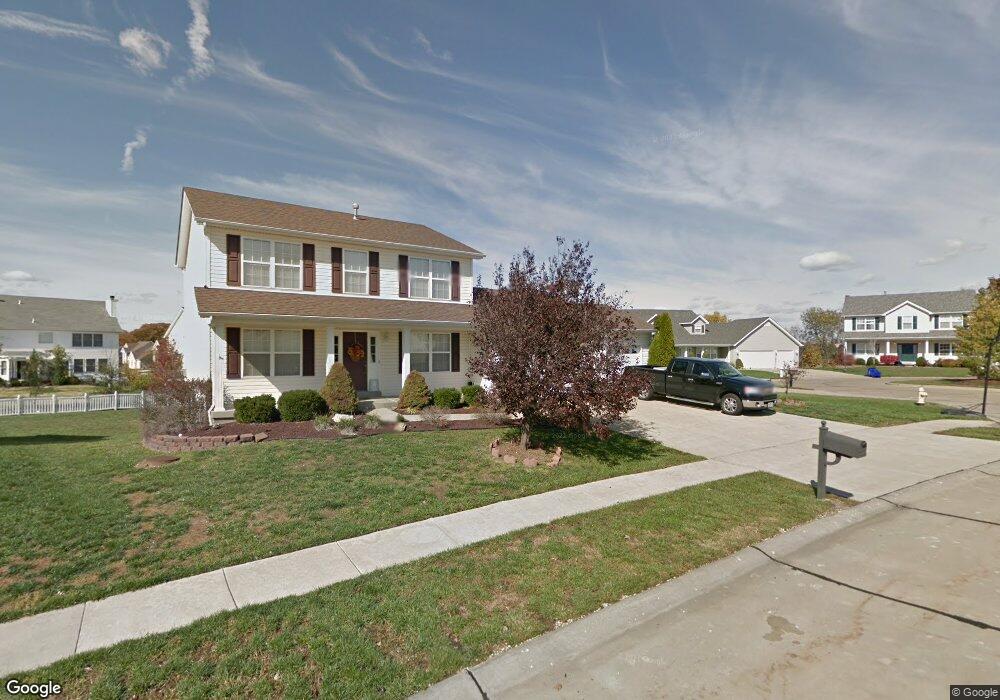
942 Hampshire Heath Dr O Fallon, MO 63368
Estimated Value: $411,276 - $452,000
4
Beds
3
Baths
2,252
Sq Ft
$193/Sq Ft
Est. Value
About This Home
This home is located at 942 Hampshire Heath Dr, O Fallon, MO 63368 and is currently estimated at $434,569, approximately $192 per square foot. 942 Hampshire Heath Dr is a home located in St. Charles County with nearby schools including G.L. Priess Primary School, Quest Elementary School, and Prairie View Elementary School.
Ownership History
Date
Name
Owned For
Owner Type
Purchase Details
Closed on
Oct 1, 2004
Sold by
Perry Michael E and Perry Kay R
Bought by
James Laurie G
Current Estimated Value
Purchase Details
Closed on
Feb 5, 2002
Sold by
Casper Homes & Development Co
Bought by
Perry Michael E and Perry Kay R
Home Financials for this Owner
Home Financials are based on the most recent Mortgage that was taken out on this home.
Original Mortgage
$145,000
Interest Rate
7.15%
Create a Home Valuation Report for This Property
The Home Valuation Report is an in-depth analysis detailing your home's value as well as a comparison with similar homes in the area
Home Values in the Area
Average Home Value in this Area
Purchase History
| Date | Buyer | Sale Price | Title Company |
|---|---|---|---|
| James Laurie G | $238,000 | -- | |
| Perry Michael E | -- | -- |
Source: Public Records
Mortgage History
| Date | Status | Borrower | Loan Amount |
|---|---|---|---|
| Previous Owner | Perry Michael E | $145,000 |
Source: Public Records
Tax History Compared to Growth
Tax History
| Year | Tax Paid | Tax Assessment Tax Assessment Total Assessment is a certain percentage of the fair market value that is determined by local assessors to be the total taxable value of land and additions on the property. | Land | Improvement |
|---|---|---|---|---|
| 2025 | $4,048 | $70,377 | -- | -- |
| 2023 | $4,048 | $63,006 | $0 | $0 |
| 2022 | $3,825 | $55,523 | $0 | $0 |
| 2021 | $3,829 | $55,523 | $0 | $0 |
| 2020 | $3,530 | $49,091 | $0 | $0 |
| 2019 | $3,280 | $49,091 | $0 | $0 |
| 2018 | $3,716 | $53,006 | $0 | $0 |
| 2017 | $3,715 | $53,006 | $0 | $0 |
| 2016 | $3,032 | $41,444 | $0 | $0 |
| 2015 | $2,993 | $41,444 | $0 | $0 |
| 2014 | $2,877 | $42,680 | $0 | $0 |
Source: Public Records
Map
Nearby Homes
- 804 Brockwell Dr
- 842 Brockwell Dr
- 662 Knollshire Way
- The Carlton II Plan at Inverness
- The Stansbury II Plan at Inverness
- The Berkshire II Plan at Inverness
- The Bellwynn Plan at Inverness
- The Carlton Plan at Inverness
- The Berkshire Plan at Inverness
- The Glenwyck II Plan at Inverness
- The Stansbury Plan at Inverness
- The Vanguard II Plan at Inverness
- The Rochester Plan at Inverness
- The Bellwynn II Plan at Inverness
- The Glenwyck Plan at Inverness
- The Vanguard Plan at Inverness
- The Rochester II Plan at Inverness
- 243 Greenshire Ln
- 11 Warchol Ct
- 32 Landyn Ct
- 940 Hampshire Heath Dr
- 944 Hampshire Heath Dr
- 820 Brockwell Dr
- 822 Brockwell Dr
- 946 Hampshire Heath Dr
- 939 Hampshire Heath Dr
- 818 Brockwell Dr
- 945 Hampshire Heath Dr
- 935 Hampshire Heath Dr
- 936 Hampshire Heath Dr
- 824 Brockwell Dr
- 948 Hampshire Heath Dr
- 934 Hampshire Heath Dr
- 816 Brockwell Dr
- 947 Hampshire Heath Dr
- 919 Hampshire Heath Dr
- 927 Hampshire Heath Dr
- 819 Brockwell Dr
- 932 Hampshire Heath Dr
- 917 Hampshire Heath Dr