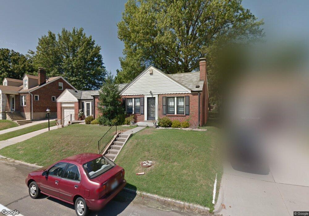
9423 Mackenzie Rd Saint Louis, MO 63123
Estimated Value: $203,000 - $234,000
2
Beds
1
Bath
992
Sq Ft
$224/Sq Ft
Est. Value
About This Home
This home is located at 9423 Mackenzie Rd, Saint Louis, MO 63123 and is currently estimated at $222,114, approximately $223 per square foot. 9423 Mackenzie Rd is a home located in St. Louis County with nearby schools including Mesnier Primary School, Gotsch Intermediate School, and Rogers Middle School.
Ownership History
Date
Name
Owned For
Owner Type
Purchase Details
Closed on
Jun 26, 2009
Sold by
Taras Evelyn and Taras Charles D
Bought by
Kindermann John W and Kindermann Patricia J
Current Estimated Value
Purchase Details
Closed on
Aug 26, 2006
Sold by
Taras Evelyn and Taras Frank
Bought by
Taras Frank and Taras Evelyn
Purchase Details
Closed on
May 29, 2002
Sold by
Taras Frank and Taras Evelyn M
Bought by
Taras Frank and Taras Evelyn M
Create a Home Valuation Report for This Property
The Home Valuation Report is an in-depth analysis detailing your home's value as well as a comparison with similar homes in the area
Home Values in the Area
Average Home Value in this Area
Purchase History
| Date | Buyer | Sale Price | Title Company |
|---|---|---|---|
| Kindermann John W | $112,000 | None Available | |
| Taras Frank | -- | None Available | |
| Taras Frank | -- | -- |
Source: Public Records
Tax History
| Year | Tax Paid | Tax Assessment Tax Assessment Total Assessment is a certain percentage of the fair market value that is determined by local assessors to be the total taxable value of land and additions on the property. | Land | Improvement |
|---|---|---|---|---|
| 2025 | $2,811 | $38,020 | $13,030 | $24,990 |
| 2024 | $2,811 | $34,580 | $9,310 | $25,270 |
| 2023 | $2,718 | $34,580 | $9,310 | $25,270 |
| 2022 | $2,703 | $29,470 | $9,310 | $20,160 |
| 2021 | $2,467 | $29,470 | $9,310 | $20,160 |
| 2020 | $2,413 | $26,890 | $8,930 | $17,960 |
| 2019 | $2,408 | $26,890 | $8,930 | $17,960 |
| 2018 | $2,088 | $20,570 | $6,210 | $14,360 |
| 2017 | $2,075 | $20,570 | $6,210 | $14,360 |
| 2016 | $1,729 | $18,180 | $4,160 | $14,020 |
Source: Public Records
Map
Nearby Homes
- 9406 Mackenzie Rd
- 9845 Reavis Rd
- 9721 Shuffle Dr
- 9312 Aster Ave
- 9320 Sterling Place
- 9117 Tiber Ct
- 8942 Eden Ave
- 9509 Eucalyptus Dr
- 9534 Tiber Dr
- 9612 Myra Ct
- 8643 Charlton Ln
- 9955 Box Elder Ct
- 9225 Pavia Ave
- 9821 Zenith Dr
- 9105 Southview Ln
- 9115 Jonmar Ct
- 8505 Ava Dr
- 6321 Sheppard Dr
- 8709 Holbrook Dr
- 6714 Colony Acres Dr
- 9415 Mackenzie Rd
- 9425 Mackenzie Rd
- 9411 Mackenzie Rd
- 9429 Mackenzie Rd
- 9428 Brenda Ave
- 9430 Brenda Ave
- 9426 Brenda Ave
- 9409 Mackenzie Rd
- 9437 Mackenzie Rd
- 9434 Brenda Ave
- 9422 Mackenzie Rd
- 9414 Brenda Ave
- 9430 Mackenzie Rd
- 9426 Mackenzie Rd
- 9438 Brenda Ave
- 9410 Brenda Ave
- 9441 Mackenzie Rd
- 9565 Lydell Dr
- 9516 Evandale Dr
- 9406 Brenda Ave