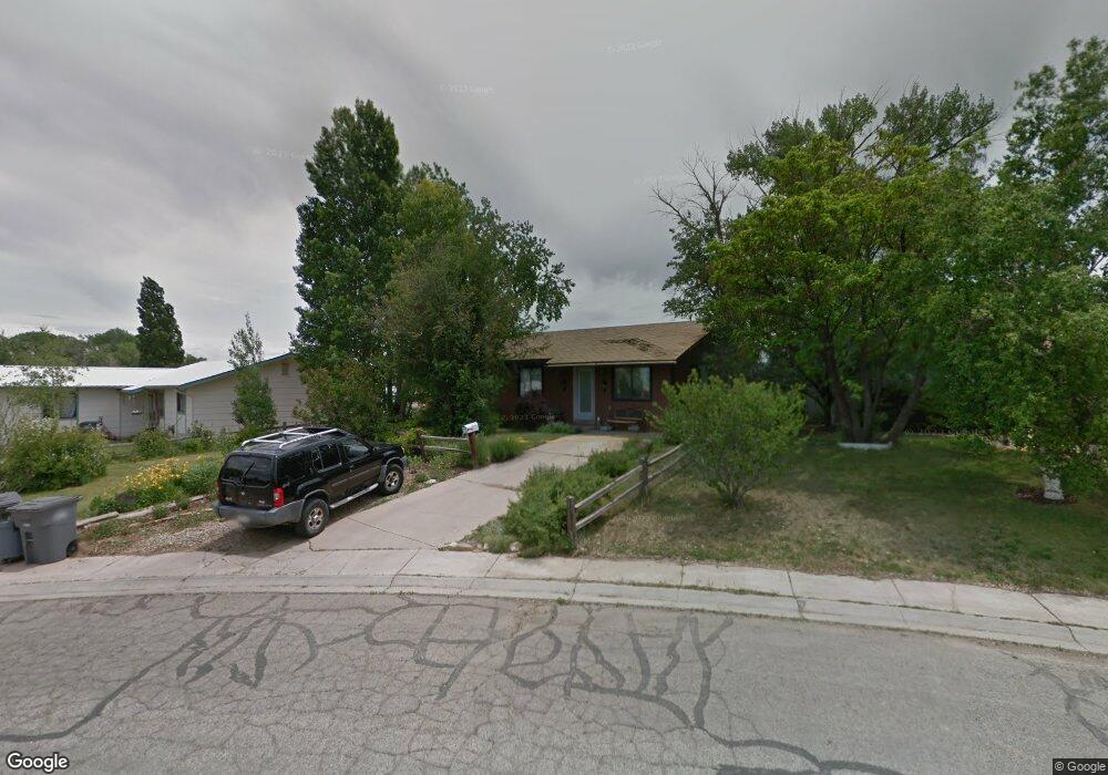
943 Brookside Dr Cortez, CO 81321
Estimated Value: $222,000 - $244,000
Studio
1
Bath
1,092
Sq Ft
$215/Sq Ft
Est. Value
About This Home
This home is located at 943 Brookside Dr, Cortez, CO 81321 and is currently estimated at $234,816, approximately $215 per square foot. 943 Brookside Dr is a home located in Montezuma County with nearby schools including Montezuma-Cortez High School, Children's Kiva Montessori School, and Southwest Open Charter School.
Ownership History
Date
Name
Owned For
Owner Type
Purchase Details
Closed on
Feb 23, 2015
Sold by
Wells Shawn and Wells Kathy
Bought by
Wells Shawn and Wells Cody
Current Estimated Value
Purchase Details
Closed on
Aug 20, 2014
Sold by
Central Mortgage Company
Bought by
Wells Shawn and Wells Kathy
Purchase Details
Closed on
Apr 22, 2014
Sold by
Lund Roxie R
Bought by
Central Mortgage Company
Purchase Details
Closed on
May 22, 1990
Sold by
Combrink Gary L and Combrink Linda
Bought by
Lund Patrick S and Lund Roxie R
Create a Home Valuation Report for This Property
The Home Valuation Report is an in-depth analysis detailing your home's value as well as a comparison with similar homes in the area
Purchase History
| Date | Buyer | Sale Price | Title Company |
|---|---|---|---|
| Wells Shawn | -- | None Available | |
| Wells Shawn | $77,000 | Servicelink Llc | |
| Central Mortgage Company | -- | None Available | |
| Lund Patrick S | $50,000 | -- |
Source: Public Records
Tax History
| Year | Tax Paid | Tax Assessment Tax Assessment Total Assessment is a certain percentage of the fair market value that is determined by local assessors to be the total taxable value of land and additions on the property. | Land | Improvement |
|---|---|---|---|---|
| 2024 | $885 | $11,883 | $2,347 | $9,536 |
| 2023 | $611 | $16,262 | $3,212 | $13,050 |
| 2022 | $519 | $10,738 | $1,467 | $9,271 |
| 2021 | $528 | $10,738 | $1,467 | $9,271 |
| 2020 | $465 | $9,814 | $1,613 | $8,201 |
| 2019 | $466 | $9,814 | $1,613 | $8,201 |
| 2018 | $523 | $8,210 | $1,460 | $6,750 |
| 2017 | $521 | $8,210 | $1,460 | $6,750 |
| 2016 | $453 | $7,880 | $1,610 | $6,270 |
| 2015 | $416 | $114,810 | $0 | $0 |
| 2014 | $484 | $7,880 | $0 | $0 |
Source: Public Records
Map
Nearby Homes
- TBD Aldridge Rd
- 938 Livesay Dr
- 613 Colorado St
- 1510 Mesa Verde St
- 1702 E Macarthur Ave
- 1513 Macarthur Ave
- 1328 Jackson St
- 2226 E Empire St
- 1615 Rivera St
- 1403 Balsam St
- 2109 Tucker Ln
- 470 N Kansas St
- TBD N Dolores Rd
- 1630 Gateway Dr Unit 3
- TBD 144 Lots Gateway Dr
- TBD Sligo St
- 1400 N Dolores Rd
- 1710 Center St
- TBD N Mildred Rd
- 2313 Pelota Dr
- 1803 Aldridge Rd
- 939 Brookside Dr
- 935 Brookside Dr
- 1813 Aldridge Rd
- 931 Brookside Dr
- 938 Brookside Dr
- 1717 Aldridge Rd
- 1815 Aldridge Rd
- 1802 Aldridge Rd
- 925 Brookside Dr
- 1810 Aldridge Rd
- 934 Brookside Dr
- 817 Sligo St
- 1806 Aldridge Rd
- 1713 Aldridge Rd
- 913 N Sligo St
- 1730 Aldridge Rd
- 921 Brookside Dr
- 1722 Aldridge Rd
- 1814 Aldridge Rd
Your Personal Tour Guide
Ask me questions while you tour the home.