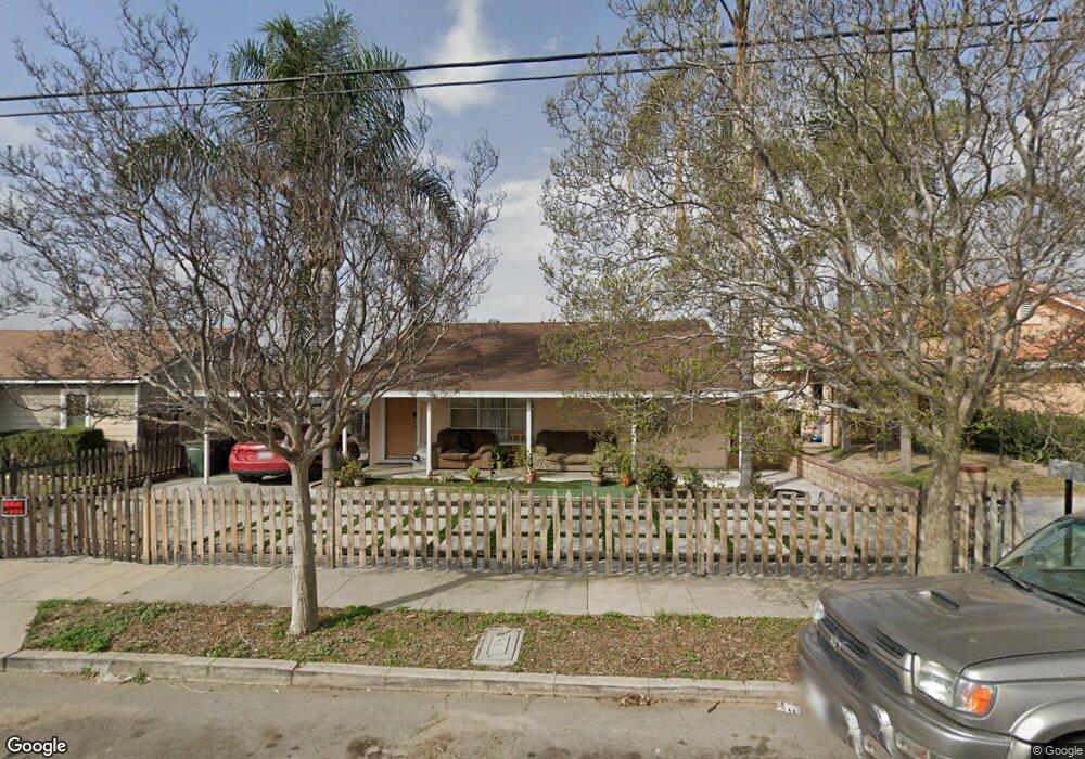
943 Sperry Dr Colton, CA 92324
Estimated Value: $393,000 - $420,000
2
Beds
1
Bath
896
Sq Ft
$454/Sq Ft
Est. Value
About This Home
This home is located at 943 Sperry Dr, Colton, CA 92324 and is currently estimated at $406,753, approximately $453 per square foot. 943 Sperry Dr is a home located in San Bernardino County with nearby schools including Alice Birney Elementary School, Colton Middle School, and Colton High School.
Ownership History
Date
Name
Owned For
Owner Type
Purchase Details
Closed on
May 14, 1998
Sold by
Bayer Carol A and Chalifoux Blanche J
Bought by
Avalos Jose Luis and Avalos Maria Margarita
Current Estimated Value
Home Financials for this Owner
Home Financials are based on the most recent Mortgage that was taken out on this home.
Original Mortgage
$76,950
Outstanding Balance
$13,343
Interest Rate
7.13%
Estimated Equity
$393,410
Create a Home Valuation Report for This Property
The Home Valuation Report is an in-depth analysis detailing your home's value as well as a comparison with similar homes in the area
Home Values in the Area
Average Home Value in this Area
Purchase History
| Date | Buyer | Sale Price | Title Company |
|---|---|---|---|
| Avalos Jose Luis | $81,000 | First American Title Co |
Source: Public Records
Mortgage History
| Date | Status | Borrower | Loan Amount |
|---|---|---|---|
| Open | Avalos Jose Luis | $76,950 |
Source: Public Records
Tax History
| Year | Tax Paid | Tax Assessment Tax Assessment Total Assessment is a certain percentage of the fair market value that is determined by local assessors to be the total taxable value of land and additions on the property. | Land | Improvement |
|---|---|---|---|---|
| 2025 | $1,605 | $126,987 | $31,354 | $95,633 |
| 2024 | $1,532 | $124,497 | $30,739 | $93,758 |
| 2023 | $1,536 | $122,056 | $30,136 | $91,920 |
| 2022 | $1,514 | $119,663 | $29,545 | $90,118 |
| 2021 | $1,545 | $117,317 | $28,966 | $88,351 |
| 2020 | $1,552 | $116,114 | $28,669 | $87,445 |
| 2019 | $1,510 | $113,837 | $28,107 | $85,730 |
| 2018 | $1,486 | $111,605 | $27,556 | $84,049 |
| 2017 | $1,435 | $109,417 | $27,016 | $82,401 |
| 2016 | $1,470 | $107,271 | $26,486 | $80,785 |
| 2015 | $1,424 | $105,660 | $26,088 | $79,572 |
| 2014 | $1,376 | $103,590 | $25,577 | $78,013 |
Source: Public Records
Map
Nearby Homes
- 974 Sperry Dr
- 1002 N Florence Ave
- 1021 N Western Ave
- 0 N Wheeler Ln Unit PW25226133
- 472 E E St
- 845 E H St
- 841 E H St
- 955 Inland Center Dr Unit 29
- 891 N 9th St
- 584 E H St Unit 1-11
- 845 N 9th St
- 1452 Fairview Ave
- 507 Villa Way
- 1077 N La Cadena Dr
- 0 N 8th St Unit RS26030888
- 410 E Citrus St
- 0 W Fairway Dr
- 1953 N 8th St
- 1327 Pennsylvania Ave
- 242 E M St
- 939 Sperry Dr
- 949 Sperry Dr
- 951 Sperry Dr
- 933 Sperry Dr
- 928 Orange Grove Ave
- 922 Orange Grove Ave
- 929 Sperry Dr
- 955 Sperry Dr
- 933 Vista Way
- 920 Orange Grove Ave
- 942 Sperry Dr
- 925 Sperry Dr
- 957 Sperry Dr
- 938 Sperry Dr
- 927 N Vista Way
- 952 Sperry Dr
- 927 Vista Way
- 927 Vista Way
- 927 Vista Way
- 934 Sperry Dr
Your Personal Tour Guide
Ask me questions while you tour the home.