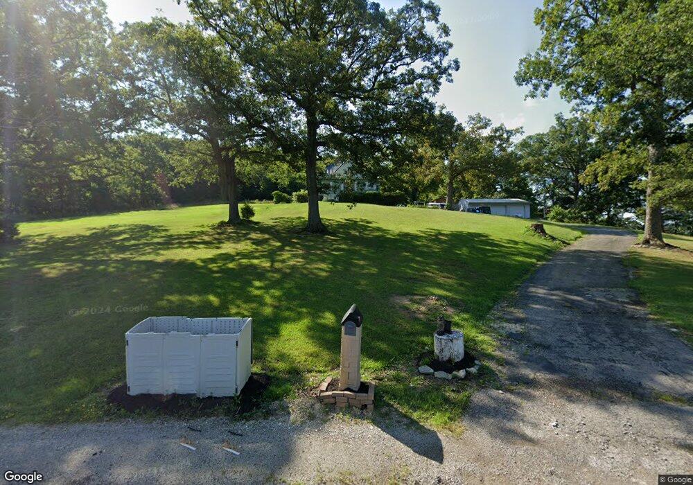
9430 State Route 41 West Union, OH 45693
Estimated Value: $154,000 - $521,000
5
Beds
1
Bath
1,513
Sq Ft
$166/Sq Ft
Est. Value
About This Home
This home is located at 9430 State Route 41, West Union, OH 45693 and is currently estimated at $251,646, approximately $166 per square foot. 9430 State Route 41 is a home located in Adams County with nearby schools including West Union Elementary School, West Union High School, and Adams County Christian School.
Ownership History
Date
Name
Owned For
Owner Type
Purchase Details
Closed on
May 30, 2019
Sold by
Stapleton Shirley A
Bought by
Young Christel D and Stapleton Chad J
Current Estimated Value
Purchase Details
Closed on
May 13, 2011
Sold by
National Bank Of Adams County
Bought by
Young Gregory F and Young Christel D
Home Financials for this Owner
Home Financials are based on the most recent Mortgage that was taken out on this home.
Original Mortgage
$79,959
Outstanding Balance
$55,645
Interest Rate
4.91%
Mortgage Type
Future Advance Clause Open End Mortgage
Estimated Equity
$196,001
Purchase Details
Closed on
Mar 2, 2010
Sold by
Crevier Thomas R and Crevier Krysti G
Bought by
Co The National Bank Of Adams County
Purchase Details
Closed on
Nov 13, 2001
Bought by
Crevier Thomas R
Create a Home Valuation Report for This Property
The Home Valuation Report is an in-depth analysis detailing your home's value as well as a comparison with similar homes in the area
Home Values in the Area
Average Home Value in this Area
Purchase History
| Date | Buyer | Sale Price | Title Company |
|---|---|---|---|
| Young Christel D | -- | None Available | |
| Young Gregory F | $78,000 | None Available | |
| Co The National Bank Of Adams County | -- | None Available | |
| Crevier Thomas R | $86,500 | -- |
Source: Public Records
Mortgage History
| Date | Status | Borrower | Loan Amount |
|---|---|---|---|
| Open | Young Gregory F | $79,959 |
Source: Public Records
Tax History Compared to Growth
Tax History
| Year | Tax Paid | Tax Assessment Tax Assessment Total Assessment is a certain percentage of the fair market value that is determined by local assessors to be the total taxable value of land and additions on the property. | Land | Improvement |
|---|---|---|---|---|
| 2024 | $561 | $32,660 | $8,260 | $24,400 |
| 2023 | $556 | $32,170 | $8,260 | $23,910 |
| 2022 | $1,103 | $26,220 | $6,060 | $20,160 |
| 2021 | $976 | $26,220 | $6,060 | $20,160 |
| 2020 | $998 | $26,220 | $6,060 | $20,160 |
| 2019 | $998 | $26,220 | $6,060 | $20,160 |
| 2018 | $854 | $22,860 | $6,060 | $16,800 |
| 2017 | $840 | $22,860 | $6,060 | $16,800 |
| 2016 | $839 | $22,860 | $6,060 | $16,800 |
| 2015 | $871 | $24,580 | $7,040 | $17,540 |
| 2014 | $872 | $24,580 | $7,040 | $17,540 |
Source: Public Records
Map
Nearby Homes
- 9598 State Route 41
- 1070 Eagle Creek Rd
- 40 Greenwood Ave
- 223 Polk St
- 81 Evergreen St
- 271 Crawford Rd
- 333 Crawford Rd
- 0 Cic Blvd
- 4423 Pumpkin Ridge Rd
- 144 ac Pumpkin Ridge Rd
- 1300 Bentonville Rd
- 126 Robinson Hollow Rd
- 0 State Route 41 1 Acre Lot
- 714 Panhandle Ave
- 286 & 290 S Market St
- 408 W South St
- 101 S Mound St
- 305 W Walnut St
- 216 S Market St
- 4700 Ohio 247
- 9786 State Route 41
- 9310 State Route 41
- 9514 State Route 41
- 124 Roy Pence Rd
- 229 Roy Pence Rd
- 9595 State Route 41
- 9626 State Route 41
- 9660 State Route 41
- 9693 State Route 41
- 417 Roy Pence Rd
- 9700 State Route 41
- 9693 S St Rt 41
- 410 Roy Pence Rd
- 9728 State Route 41
- 9786 State Route 41
- 9777 State Route 41
- 266 Kimberly Dr
- 6108 Sr 136
- 6148 State Route 136
- 208 Kimberly Dr