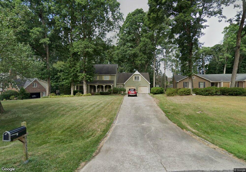
9433 Springdale Dr Raleigh, NC 27613
Northwest Raleigh NeighborhoodEstimated Value: $677,000 - $829,000
4
Beds
3
Baths
3,366
Sq Ft
$224/Sq Ft
Est. Value
About This Home
This home is located at 9433 Springdale Dr, Raleigh, NC 27613 and is currently estimated at $755,451, approximately $224 per square foot. 9433 Springdale Dr is a home located in Wake County with nearby schools including Leesville Road Elementary School, Leesville Road Middle School, and Leesville Road High School.
Ownership History
Date
Name
Owned For
Owner Type
Purchase Details
Closed on
Jul 15, 2005
Sold by
Dolan James I and Dolan Elizabeth M
Bought by
Choboy Jon A and Choboy Tammy R
Current Estimated Value
Home Financials for this Owner
Home Financials are based on the most recent Mortgage that was taken out on this home.
Original Mortgage
$264,550
Outstanding Balance
$137,026
Interest Rate
5.54%
Mortgage Type
New Conventional
Estimated Equity
$618,425
Create a Home Valuation Report for This Property
The Home Valuation Report is an in-depth analysis detailing your home's value as well as a comparison with similar homes in the area
Home Values in the Area
Average Home Value in this Area
Purchase History
| Date | Buyer | Sale Price | Title Company |
|---|---|---|---|
| Choboy Jon A | $331,000 | -- |
Source: Public Records
Mortgage History
| Date | Status | Borrower | Loan Amount |
|---|---|---|---|
| Open | Choboy Jon A | $264,550 |
Source: Public Records
Tax History Compared to Growth
Tax History
| Year | Tax Paid | Tax Assessment Tax Assessment Total Assessment is a certain percentage of the fair market value that is determined by local assessors to be the total taxable value of land and additions on the property. | Land | Improvement |
|---|---|---|---|---|
| 2025 | $3,710 | $576,878 | $165,000 | $411,878 |
| 2024 | $3,602 | $576,878 | $165,000 | $411,878 |
| 2023 | $3,162 | $402,938 | $115,000 | $287,938 |
| 2022 | $2,930 | $402,938 | $115,000 | $287,938 |
| 2021 | $2,851 | $402,938 | $115,000 | $287,938 |
| 2020 | $2,804 | $402,938 | $115,000 | $287,938 |
| 2019 | $3,103 | $377,519 | $155,000 | $222,519 |
| 2018 | $2,853 | $377,519 | $155,000 | $222,519 |
| 2017 | $2,704 | $377,519 | $155,000 | $222,519 |
| 2016 | $2,649 | $377,519 | $155,000 | $222,519 |
| 2015 | $2,551 | $364,470 | $140,000 | $224,470 |
| 2014 | $2,418 | $364,470 | $140,000 | $224,470 |
Source: Public Records
Map
Nearby Homes
- 13217 Ashford Park Dr
- 13204 Ashford Park Dr
- 9309 Field Maple Ct
- 9305 Field Maple Ct
- 12909 Baybriar Dr
- 9305 Langwood Dr
- 9800 Treymore Dr
- 9209 Shallcross Way
- 9337 Langwood Dr
- 9023 Colony Village Ln
- 8802 Fidelis Ln
- 7942 Berry Crest Ave
- 12808 Edsel Dr
- 6123 Blakeman Ln
- 8601 Oneal Rd
- 8228 Clarks Branch Dr
- 8701 Oneal Rd
- Harlow Plan at Bayberry
- 10900 Bayflower Way
- 8939 Camden Park Dr
- 9437 Springdale Dr
- 9429 Springdale Dr
- 13306 Ashford Park Dr
- 9441 Springdale Dr
- 13310 Ashford Park Dr
- 13304 Ashford Park Dr
- 9425 Springdale Dr
- 13302 Ashford Park Dr
- 13300 Ashford Park Dr
- 13312 Ashford Park Dr
- 13256 Ashford Park Dr
- 13314 Ashford Park Dr
- 13254 Ashford Park Dr
- 9436 Springdale Dr
- 9440 Springdale Dr
- 13316 Ashford Park Dr
- 13250 Ashford Park Dr
- 13321 Ashford Park Dr
- 13100 Ashford Park Dr
- 9445 Springdale Dr