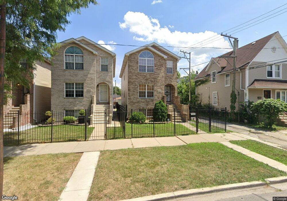
9439 S Langley Ave Chicago, IL 60619
Roseland NeighborhoodEstimated Value: $235,000 - $341,000
4
Beds
4
Baths
2,026
Sq Ft
$139/Sq Ft
Est. Value
About This Home
This home is located at 9439 S Langley Ave, Chicago, IL 60619 and is currently estimated at $281,032, approximately $138 per square foot. 9439 S Langley Ave is a home located in Cook County with nearby schools including Gillespie Elementary School, Harlan Community Academy High School, and Christian S T E M Scholars.
Ownership History
Date
Name
Owned For
Owner Type
Purchase Details
Closed on
Apr 30, 2006
Sold by
Brosna Construction Inc
Bought by
Lorde Barbara P
Current Estimated Value
Home Financials for this Owner
Home Financials are based on the most recent Mortgage that was taken out on this home.
Original Mortgage
$232,000
Outstanding Balance
$136,353
Interest Rate
6.66%
Mortgage Type
VA
Estimated Equity
$144,679
Create a Home Valuation Report for This Property
The Home Valuation Report is an in-depth analysis detailing your home's value as well as a comparison with similar homes in the area
Home Values in the Area
Average Home Value in this Area
Purchase History
| Date | Buyer | Sale Price | Title Company |
|---|---|---|---|
| Lorde Barbara P | $290,000 | Pntn |
Source: Public Records
Mortgage History
| Date | Status | Borrower | Loan Amount |
|---|---|---|---|
| Open | Lorde Barbara P | $232,000 |
Source: Public Records
Tax History Compared to Growth
Tax History
| Year | Tax Paid | Tax Assessment Tax Assessment Total Assessment is a certain percentage of the fair market value that is determined by local assessors to be the total taxable value of land and additions on the property. | Land | Improvement |
|---|---|---|---|---|
| 2024 | $2,328 | $26,000 | $2,326 | $23,674 |
| 2023 | $2,230 | $17,000 | $3,876 | $13,124 |
| 2022 | $2,230 | $17,000 | $3,876 | $13,124 |
| 2021 | $2,213 | $16,999 | $3,876 | $13,123 |
| 2020 | $3,077 | $19,397 | $2,790 | $16,607 |
| 2019 | $3,090 | $21,553 | $2,790 | $18,763 |
| 2018 | $2,900 | $21,553 | $2,790 | $18,763 |
| 2017 | $4,023 | $22,065 | $2,480 | $19,585 |
| 2016 | $3,919 | $22,065 | $2,480 | $19,585 |
| 2015 | $3,563 | $22,065 | $2,480 | $19,585 |
| 2014 | $3,230 | $19,979 | $2,170 | $17,809 |
| 2013 | $3,155 | $19,979 | $2,170 | $17,809 |
Source: Public Records
Map
Nearby Homes
- 710 E 95th St
- 9418 S Champlain Ave
- 728 E 95th St
- 730 E 95th St
- 9311 S Burnside Ave
- 627 E 92nd Place
- 605 E 92nd Place
- 9259 S Cottage Grove Ave
- 9425 S Vernon Ave
- 9302 S Eberhart Ave
- 9215 S Cottage Grove Ave Unit 2W
- 9220 S Dauphin Ave
- 9211 S Cottage Grove Ave Unit 9-C2
- 9209 S Cottage Grove Ave Unit A6
- 906 E 93rd St
- 9300 S Vernon Ave
- 715 E 91st Place
- 543 E 91st Place
- 9326 S King Dr
- 9549 S Calumet Ave
- 9437 S Langley Ave
- 9435 S Langley Ave
- 9445 S Langley Ave
- 9433 S Langley Ave
- 708 E 95th St
- 708 E 95th St Unit 1
- 708 E 95th St Unit 2
- 708 E 95th St Unit 3
- 9429 S Langley Ave
- 710 E 95th St Unit 3
- 710 E 95th St Unit 2
- 710 E 95th St Unit 1
- 9416 S Burnside Ave
- 712 E 95th St
- 702 E 95th St
- 9427 S Langley Ave
- 714 E 95th St
- 718 E 95th St
- 9438 S Langley Ave
- 9432 S Langley Ave