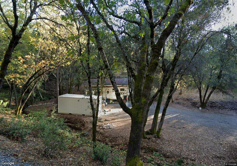
9440 State Highway 193 Placerville, CA 95667
Estimated Value: $472,619 - $508,000
3
Beds
2
Baths
1,513
Sq Ft
$321/Sq Ft
Est. Value
About This Home
This home is located at 9440 State Highway 193, Placerville, CA 95667 and is currently estimated at $485,905, approximately $321 per square foot. 9440 State Highway 193 is a home located in El Dorado County with nearby schools including Georgetown Elementary School and Golden Sierra Junior Senior High.
Ownership History
Date
Name
Owned For
Owner Type
Purchase Details
Closed on
May 8, 2023
Sold by
Eugene G Carson Family 1988 Revocable Tr
Bought by
Mervin And Mary Carson Family Trust
Current Estimated Value
Purchase Details
Closed on
Jun 22, 2015
Sold by
Schulte Kathleen A
Bought by
Carson Hannelore K
Purchase Details
Closed on
Jan 28, 2000
Sold by
Willis Albert E and Willis Marian S
Bought by
Willis Albert Ernest and Willis Marian Sophie
Create a Home Valuation Report for This Property
The Home Valuation Report is an in-depth analysis detailing your home's value as well as a comparison with similar homes in the area
Home Values in the Area
Average Home Value in this Area
Purchase History
| Date | Buyer | Sale Price | Title Company |
|---|---|---|---|
| Mervin And Mary Carson Family Trust | -- | None Listed On Document | |
| Carson Hannelore K | $260,000 | Inter County Title Co El Dor | |
| Willis Albert Ernest | -- | -- |
Source: Public Records
Tax History
| Year | Tax Paid | Tax Assessment Tax Assessment Total Assessment is a certain percentage of the fair market value that is determined by local assessors to be the total taxable value of land and additions on the property. | Land | Improvement |
|---|---|---|---|---|
| 2025 | $4,191 | $390,150 | $119,646 | $270,504 |
| 2024 | $4,191 | $382,500 | $117,300 | $265,200 |
| 2023 | $3,332 | $300,339 | $92,410 | $207,929 |
| 2022 | $3,282 | $294,451 | $90,599 | $203,852 |
| 2021 | $3,212 | $288,678 | $88,823 | $199,855 |
| 2020 | $3,188 | $285,719 | $87,913 | $197,806 |
| 2019 | $3,132 | $280,118 | $86,190 | $193,928 |
| 2018 | $3,043 | $274,626 | $84,500 | $190,126 |
| 2017 | $2,987 | $269,243 | $82,844 | $186,399 |
| 2016 | $3,244 | $263,965 | $81,220 | $182,745 |
| 2015 | $1,503 | $107,529 | $19,968 | $87,561 |
| 2014 | $1,503 | $105,425 | $19,578 | $85,847 |
Source: Public Records
Map
Nearby Homes
- 9461 State Highway 193 Unit 26
- 9620 State Highway 193
- 6545 Kelsey Rd
- 9803 State Highway 193
- 6533 Shoo Fly Rd
- 6421 Garden Valley Rd
- 4717 Lobo Trail
- 6741 Big Sandy Ln
- 5901 Traverse Creek Rd
- 8681 State Highway 193
- 5915 Traverse Creek Rd
- 7149 Union Flat Ln
- 6100 Shasta Rd
- 7411 Riverbend Dr
- 9220 Mule Skinner Rd
- 7155 Stewart Mine Rd
- 6550 Garden Park Dr
- 5941 Garden Park Dr
- 5595 Hackomiller Rd
- 7000 Olympus Dr
- 9480 State Highway 193
- 9461 State Highway 193 Unit 8
- 9461 State Highway 193 Unit 10
- 9461 State Highway 193 Unit 25
- 9461 State Highway 193 Unit 16
- 9461 State Highway 193
- 9461 State Highway 193 Unit 23
- 9461 State Highway 193 Unit 11
- 9461 State Highway 193 Unit 1
- 9461 State Highway 193 Unit 6
- 9461 State Highway 193
- 9461 State Highway 193 Unit 10
- 9461 State Highway 193 Unit 10
- 9461 State Highway 193 Unit 17
- 9461 State Highway 193 Unit 27
- 9461 State Highway 193 Unit 25
- 9461 State Highway 193 Unit 26
- 9461 State Highway 193 Unit 18
- 9461 California 193 Unit 22
- 9500 State Highway 193
Your Personal Tour Guide
Ask me questions while you tour the home.