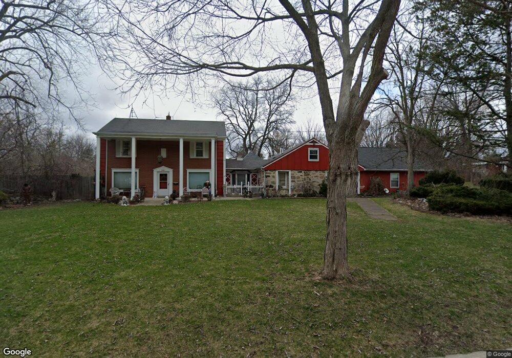
9440 W Barnard Ave Milwaukee, WI 53228
Estimated Value: $567,000 - $589,000
4
Beds
3
Baths
4,061
Sq Ft
$142/Sq Ft
Est. Value
About This Home
This home is located at 9440 W Barnard Ave, Milwaukee, WI 53228 and is currently estimated at $576,708, approximately $142 per square foot. 9440 W Barnard Ave is a home with nearby schools including Hales Corners Elementary School, Whitnall Middle School, and Whitnall High School.
Ownership History
Date
Name
Owned For
Owner Type
Purchase Details
Closed on
Feb 23, 2017
Sold by
Davies Paula J and Davies Michael
Bought by
Sergeant Randy Dean and Sergeant Carol Lynn
Current Estimated Value
Purchase Details
Closed on
Jun 5, 2007
Sold by
Davies Paula J
Bought by
Davies Paula J and Davies Michael
Purchase Details
Closed on
Apr 4, 2006
Sold by
Lewin Steven C and Lewin Joyce A
Bought by
Davies Michael and Davis Paula
Purchase Details
Closed on
Feb 9, 1996
Sold by
Firstar Trust Company
Bought by
Davies Paula J
Create a Home Valuation Report for This Property
The Home Valuation Report is an in-depth analysis detailing your home's value as well as a comparison with similar homes in the area
Home Values in the Area
Average Home Value in this Area
Purchase History
| Date | Buyer | Sale Price | Title Company |
|---|---|---|---|
| Sergeant Randy Dean | $250,000 | None Available | |
| Davies Paula J | -- | None Available | |
| Davies Michael | $40,000 | Wauwatosa Title & Closing Se | |
| Davies Paula J | -- | -- |
Source: Public Records
Tax History Compared to Growth
Tax History
| Year | Tax Paid | Tax Assessment Tax Assessment Total Assessment is a certain percentage of the fair market value that is determined by local assessors to be the total taxable value of land and additions on the property. | Land | Improvement |
|---|---|---|---|---|
| 2024 | $7,949 | $451,700 | $144,500 | $307,200 |
| 2023 | $7,949 | $451,700 | $144,500 | $307,200 |
| 2022 | $6,795 | $253,500 | $111,200 | $142,300 |
| 2021 | $6,799 | $253,500 | $111,200 | $142,300 |
| 2020 | $6,935 | $253,500 | $111,200 | $142,300 |
| 2019 | $6,800 | $253,500 | $111,200 | $142,300 |
| 2018 | $6,527 | $253,500 | $111,200 | $142,300 |
| 2017 | $6,370 | $253,500 | $111,200 | $142,300 |
| 2016 | $9,921 | $362,700 | $111,200 | $251,500 |
| 2015 | $9,832 | $362,700 | $111,200 | $251,500 |
| 2014 | $10,058 | $362,700 | $111,200 | $251,500 |
| 2013 | $10,155 | $362,700 | $111,200 | $251,500 |
Source: Public Records
Map
Nearby Homes
- 5175 S Root River Pkwy Unit 6
- 4256 S 96th St
- 9000 W Cold Spring Rd
- 9839 Brookside Dr
- 4962 S 82nd St
- 10201 Brookside Dr
- 5210 S Froemming Dr
- 4050 S Shady Lane Ct
- 4475 S 108th St
- 9015 W Grange Ave
- 5445 Wild Cherry Cir
- 7701 W Barnard Ave
- 7911 W Cold Spring Rd
- 4013 S 106th St
- 5121 S 111th St
- 11111 W Edgerton Ave
- 5305 S 110th St
- 3965 S 84th St Unit 5
- 3939 S 85th St
- 4005 S 83rd St
- 9504 W Barnard Ave
- 4800 S 95th St
- 9400 W Barnard Ave
- 4801 S 94th St
- 4807 S 95th St
- 9524 W Barnard Ave
- 9330 W Barnard Ave
- 4812 S 96th St
- 4836 S 95th St
- 4833 S 95th St
- 4827 S 94th St
- 4800 S 94th St
- 9433 W Layton Ave
- 9411 W Layton Ave
- 9600 W Barnard Ave
- 9505 W Layton Ave
- 9320 W Barnard Ave
- 9401 W Layton Ave
- 9428 W Layton Ave
- 9414 W Layton Ave