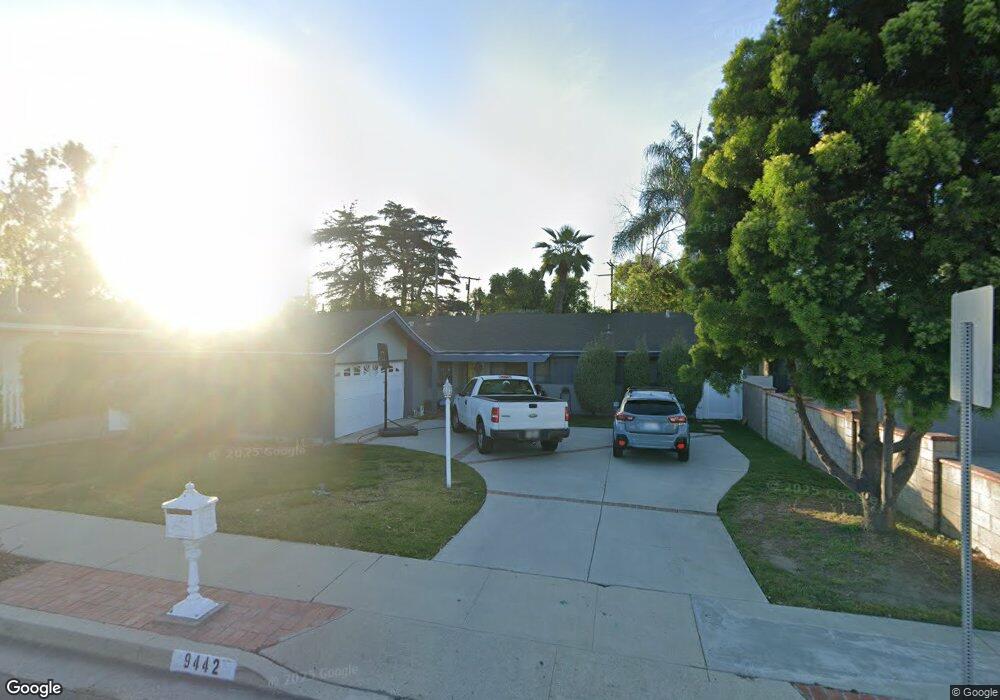
9442 Randall Ave La Habra, CA 90631
Estimated Value: $874,000 - $1,030,000
4
Beds
2
Baths
1,541
Sq Ft
$609/Sq Ft
Est. Value
About This Home
This home is located at 9442 Randall Ave, La Habra, CA 90631 and is currently estimated at $938,050, approximately $608 per square foot. 9442 Randall Ave is a home located in Orange County with nearby schools including Macy Elementary School, Rancho-Starbuck Intermediate School, and La Habra High School.
Ownership History
Date
Name
Owned For
Owner Type
Purchase Details
Closed on
Jul 31, 1997
Sold by
Derosier Lenna C and Bryan James Bryan
Bought by
Lundstrom Frank Edward and Lundstrom Kathi
Current Estimated Value
Home Financials for this Owner
Home Financials are based on the most recent Mortgage that was taken out on this home.
Original Mortgage
$180,000
Interest Rate
7.45%
Create a Home Valuation Report for This Property
The Home Valuation Report is an in-depth analysis detailing your home's value as well as a comparison with similar homes in the area
Home Values in the Area
Average Home Value in this Area
Purchase History
| Date | Buyer | Sale Price | Title Company |
|---|---|---|---|
| Lundstrom Frank Edward | $189,500 | Southland Title Corporation |
Source: Public Records
Mortgage History
| Date | Status | Borrower | Loan Amount |
|---|---|---|---|
| Previous Owner | Lundstrom Frank Edward | $180,000 |
Source: Public Records
Tax History
| Year | Tax Paid | Tax Assessment Tax Assessment Total Assessment is a certain percentage of the fair market value that is determined by local assessors to be the total taxable value of land and additions on the property. | Land | Improvement |
|---|---|---|---|---|
| 2025 | $3,500 | $302,574 | $201,502 | $101,072 |
| 2024 | $3,500 | $296,642 | $197,551 | $99,091 |
| 2023 | $3,413 | $290,826 | $193,677 | $97,149 |
| 2022 | $3,374 | $285,124 | $189,879 | $95,245 |
| 2021 | $3,308 | $279,534 | $186,156 | $93,378 |
| 2020 | $3,299 | $276,668 | $184,247 | $92,421 |
| 2019 | $3,224 | $271,244 | $180,635 | $90,609 |
| 2018 | $3,101 | $265,926 | $177,093 | $88,833 |
| 2017 | $3,046 | $260,712 | $173,620 | $87,092 |
| 2016 | $2,982 | $255,600 | $170,215 | $85,385 |
| 2015 | $2,901 | $251,761 | $167,658 | $84,103 |
| 2014 | $2,813 | $246,830 | $164,374 | $82,456 |
Source: Public Records
Map
Nearby Homes
- 1001 Vernon St
- 16875 Sausalito Dr
- 2401 Foxdale Ave
- 9811 Capulet Ave
- 1091 Citrus Dr
- 2511 Gregory Ln
- 1435 Subtropic Dr
- 16540 Whittier Blvd
- 16540 Whittier Blvd Unit 6
- 16540 Whittier Blvd Unit 48
- 16540 Whittier Blvd Unit 2
- 16635 Monte Oro Dr
- 1020 La Serna Ave
- 832 Citrus Dr Unit 7
- 510 Valley Home Ave
- 411 Parsons St
- 320 -330 Monte Vista
- 311 N Idaho St
- 110 Rigsby St
- 16357 Lisco St
- 9452 Randall Ave
- 9432 Randall Ave
- 9462 Randall Ave
- 9422 Randall Ave
- 2001 Lindauer Dr
- 1941 Lindauer Dr
- 9432 Gordon Ave
- 9431 Randall Ave
- 2011 Lindauer Dr
- 9466 Randall Ave
- 9412 Randall Ave
- 1100 Farrington Dr
- 1931 Lindauer Dr
- 9412 Gordon Ave
- 2021 Lindauer Dr
- 9461 Randall Ave
- 9411 Randall Ave
- 9472 Randall Ave
- 1921 Lindauer Dr
- 9402 Randall Ave
Your Personal Tour Guide
Ask me questions while you tour the home.