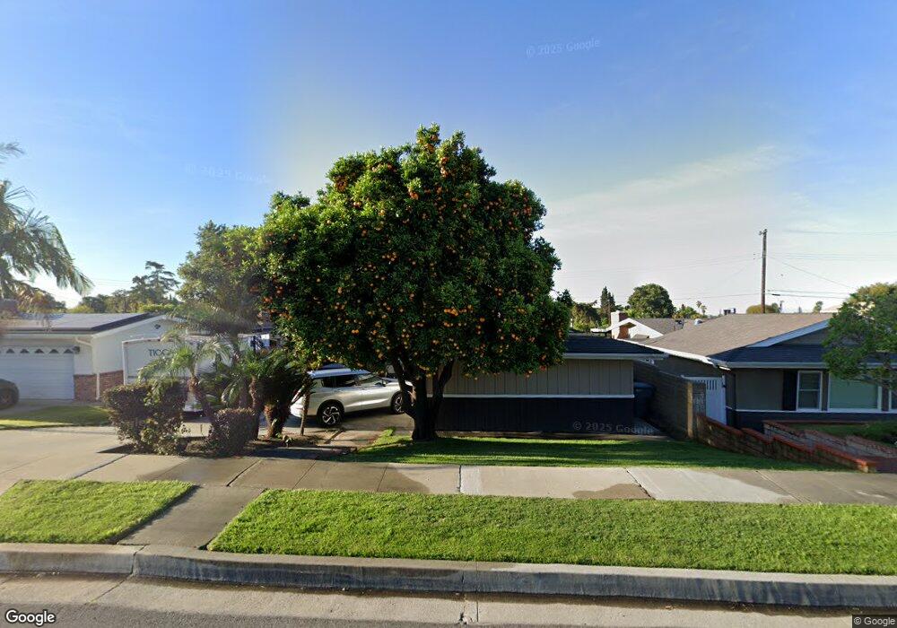
9442 Russell St La Habra, CA 90631
Estimated Value: $892,484 - $1,054,000
3
Beds
2
Baths
1,542
Sq Ft
$618/Sq Ft
Est. Value
About This Home
This home is located at 9442 Russell St, La Habra, CA 90631 and is currently estimated at $952,871, approximately $617 per square foot. 9442 Russell St is a home located in Orange County with nearby schools including Macy Elementary School, Rancho-Starbuck Intermediate School, and La Habra High School.
Ownership History
Date
Name
Owned For
Owner Type
Purchase Details
Closed on
Dec 21, 1993
Sold by
Dannan Michael Robert and Dannan Donna Jean
Bought by
Alvarado Floyd Q and Alvarado Diane M
Current Estimated Value
Home Financials for this Owner
Home Financials are based on the most recent Mortgage that was taken out on this home.
Original Mortgage
$156,000
Interest Rate
7.16%
Create a Home Valuation Report for This Property
The Home Valuation Report is an in-depth analysis detailing your home's value as well as a comparison with similar homes in the area
Home Values in the Area
Average Home Value in this Area
Purchase History
| Date | Buyer | Sale Price | Title Company |
|---|---|---|---|
| Alvarado Floyd Q | $195,000 | Southland Title Corporation |
Source: Public Records
Mortgage History
| Date | Status | Borrower | Loan Amount |
|---|---|---|---|
| Closed | Alvarado Floyd Q | $156,000 |
Source: Public Records
Tax History Compared to Growth
Tax History
| Year | Tax Paid | Tax Assessment Tax Assessment Total Assessment is a certain percentage of the fair market value that is determined by local assessors to be the total taxable value of land and additions on the property. | Land | Improvement |
|---|---|---|---|---|
| 2025 | $3,878 | $331,427 | $225,512 | $105,915 |
| 2024 | $3,878 | $324,929 | $221,090 | $103,839 |
| 2023 | $3,785 | $318,558 | $216,755 | $101,803 |
| 2022 | $3,744 | $312,312 | $212,505 | $99,807 |
| 2021 | $3,672 | $306,189 | $208,339 | $97,850 |
| 2020 | $3,663 | $303,050 | $206,203 | $96,847 |
| 2019 | $3,580 | $297,108 | $202,159 | $94,949 |
| 2018 | $3,444 | $291,283 | $198,195 | $93,088 |
| 2017 | $3,385 | $285,572 | $194,309 | $91,263 |
| 2016 | $3,315 | $279,973 | $190,499 | $89,474 |
| 2015 | $3,225 | $275,768 | $187,637 | $88,131 |
| 2014 | $3,128 | $270,367 | $183,962 | $86,405 |
Source: Public Records
Map
Nearby Homes
- 9422 Canfield Dr
- 9331 Mikinda Ave
- 9915 Corella Ave
- 2311 Canfield Dr
- 16875 Sausalito Dr
- 2401 Canfield Dr
- 2100 Gregory Ln
- 1230 Sunbird Ave
- 16635 Monte Oro Dr
- 16540 Whittier Blvd
- 2611 Gregory Ln
- 1320 Marlei Rd
- 10303 Pounds Ave
- 401 Granada Dr
- 1620 W El Portal Dr
- 1421 Launer Dr
- 320 -330 Monte Vista
- 1620 El Travesia Dr
- 1436 La Riata Dr
- 1525 Bonnie Jean Ln
- 9432 Russell St
- 9462 Russell St
- 9501 Randall Ave
- 9431 Gordon Ave
- 9422 Russell St
- 9471 Randall Ave
- 9511 Randall Ave
- 9421 Gordon Ave
- 9461 Randall Ave
- 9461 Russell St
- 9401 Gordon Ave
- 9415 Russell St
- 9402 Russell St
- 9421 Russell St
- 9471 Russell St
- 9381 Gordon Ave
- 9411 Russell St
- 1111 Randall Ave
- 9512 Russell St
- 9506 Randall Ave