9448 Date Rd Baroda, MI 49101
Estimated Value: $399,000 - $603,000
4
Beds
3
Baths
3,001
Sq Ft
$166/Sq Ft
Est. Value
About This Home
This home is located at 9448 Date Rd, Baroda, MI 49101 and is currently estimated at $497,244, approximately $165 per square foot. 9448 Date Rd is a home located in Berrien County with nearby schools including Bridgman Elementary School, F.C. Reed Middle School, and Bridgman High School.
Ownership History
Date
Name
Owned For
Owner Type
Purchase Details
Closed on
Aug 30, 2010
Sold by
United Federal Credit Union
Bought by
Fuentes Josue
Current Estimated Value
Home Financials for this Owner
Home Financials are based on the most recent Mortgage that was taken out on this home.
Original Mortgage
$213,129
Outstanding Balance
$141,164
Interest Rate
4.5%
Mortgage Type
FHA
Estimated Equity
$356,080
Purchase Details
Closed on
Nov 19, 2009
Sold by
Mueller Mark C and Mueller Ericka S
Bought by
United Federal Credit Union
Purchase Details
Closed on
Jun 29, 2001
Purchase Details
Closed on
Sep 11, 1998
Purchase Details
Closed on
Jan 31, 1995
Create a Home Valuation Report for This Property
The Home Valuation Report is an in-depth analysis detailing your home's value as well as a comparison with similar homes in the area
Purchase History
| Date | Buyer | Sale Price | Title Company |
|---|---|---|---|
| Fuentes Josue | $216,000 | Multiple | |
| United Federal Credit Union | $205,674 | None Available | |
| -- | $227,500 | -- | |
| -- | $173,500 | -- | |
| -- | $166,000 | -- |
Source: Public Records
Mortgage History
| Date | Status | Borrower | Loan Amount |
|---|---|---|---|
| Open | Fuentes Josue | $213,129 |
Source: Public Records
Tax History
| Year | Tax Paid | Tax Assessment Tax Assessment Total Assessment is a certain percentage of the fair market value that is determined by local assessors to be the total taxable value of land and additions on the property. | Land | Improvement |
|---|---|---|---|---|
| 2025 | $2,641 | $238,400 | $0 | $0 |
| 2024 | $1,808 | $228,700 | $0 | $0 |
| 2023 | $1,700 | $181,500 | $0 | $0 |
| 2022 | $1,619 | $147,600 | $0 | $0 |
| 2021 | $2,285 | $143,800 | $19,500 | $124,300 |
| 2020 | $2,264 | $143,900 | $0 | $0 |
| 2019 | $2,233 | $112,400 | $17,400 | $95,000 |
| 2018 | $2,126 | $112,400 | $0 | $0 |
| 2017 | $2,095 | $111,100 | $0 | $0 |
| 2016 | $2,048 | $117,800 | $0 | $0 |
| 2015 | $2,024 | $131,500 | $0 | $0 |
| 2014 | $1,366 | $136,300 | $0 | $0 |
Source: Public Records
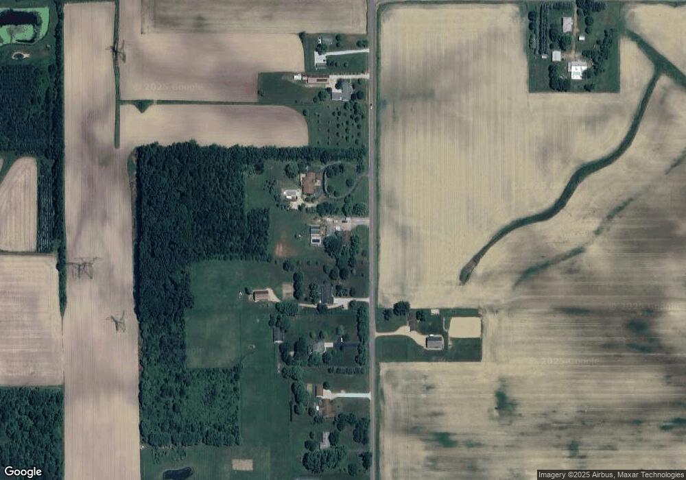
Map
Nearby Homes
- 9847 Quail Run Ct
- 10157 Jericho Rd
- 3728 Lake St
- 3926 Papalardo St
- 0 0a Linke Rd Rd
- 10299 Gast Rd
- 3990 Sugarsand Ln
- 4019 Sugarsand Ln
- 4043 Sugarsand Ln
- 3995 Sugarsand Ln
- 4173 Maplewood Rd
- 0 Cleveland Ave
- 5797 Wildwood Dr
- 0a Red Arrow Hwy
- 9720 Baldwin Rd Unit 12
- 9720 Baldwin Rd Unit 11
- 9048 2nd St
- VL-0 Baldwin Rd
- 00 Red Arrow Hwy
- V/L W Lemon Creek Rd Unit 2
Your Personal Tour Guide
Ask me questions while you tour the home.