945 Big Cedar Dr Unit 100 Dunlap, TN 37327
Estimated Value: $410,206 - $667,000
--
Bed
2
Baths
2,033
Sq Ft
$255/Sq Ft
Est. Value
About This Home
This home is located at 945 Big Cedar Dr Unit 100, Dunlap, TN 37327 and is currently estimated at $517,802, approximately $254 per square foot. 945 Big Cedar Dr Unit 100 is a home located in Bledsoe County with nearby schools including Griffith Elementary School, Sequatchie County Middle School, and Sequatchie County High School.
Ownership History
Date
Name
Owned For
Owner Type
Purchase Details
Closed on
Apr 9, 2025
Sold by
Dwh Living Trust and Hull Weston H
Bought by
Armstrong Isaac Coleman and Armstrong Sharon Darlene
Current Estimated Value
Purchase Details
Closed on
May 8, 2021
Sold by
Hull Weston H and Hull Diane E
Bought by
Hull Weston H and Hull Diane E
Purchase Details
Closed on
Feb 8, 2011
Sold by
Colvard Thad R
Bought by
Hull Weston H
Purchase Details
Closed on
Oct 4, 1996
Sold by
Mills and Mills Sprouse
Bought by
Colvard Thad
Create a Home Valuation Report for This Property
The Home Valuation Report is an in-depth analysis detailing your home's value as well as a comparison with similar homes in the area
Home Values in the Area
Average Home Value in this Area
Purchase History
| Date | Buyer | Sale Price | Title Company |
|---|---|---|---|
| Armstrong Isaac Coleman | $495,000 | Title Guaranty & Trust | |
| Armstrong Isaac Coleman | $495,000 | Title Guaranty & Trust | |
| Hull Weston H | -- | None Available | |
| Hull Weston H | $194,312 | -- | |
| Colvard Thad | $24,500 | -- |
Source: Public Records
Tax History Compared to Growth
Tax History
| Year | Tax Paid | Tax Assessment Tax Assessment Total Assessment is a certain percentage of the fair market value that is determined by local assessors to be the total taxable value of land and additions on the property. | Land | Improvement |
|---|---|---|---|---|
| 2024 | $1,314 | $63,700 | $7,500 | $56,200 |
| 2023 | $1,314 | $63,700 | $7,500 | $56,200 |
| 2022 | $1,193 | $63,700 | $7,500 | $56,200 |
| 2021 | $1,089 | $45,650 | $6,250 | $39,400 |
| 2020 | $1,089 | $45,650 | $6,250 | $39,400 |
| 2019 | $1,089 | $45,650 | $6,250 | $39,400 |
| 2018 | $1,007 | $45,650 | $6,250 | $39,400 |
| 2017 | $1,007 | $45,650 | $6,250 | $39,400 |
| 2016 | $1,078 | $47,575 | $6,250 | $41,325 |
| 2015 | $1,054 | $47,575 | $6,250 | $41,325 |
| 2014 | $1,054 | $47,575 | $6,250 | $41,325 |
Source: Public Records
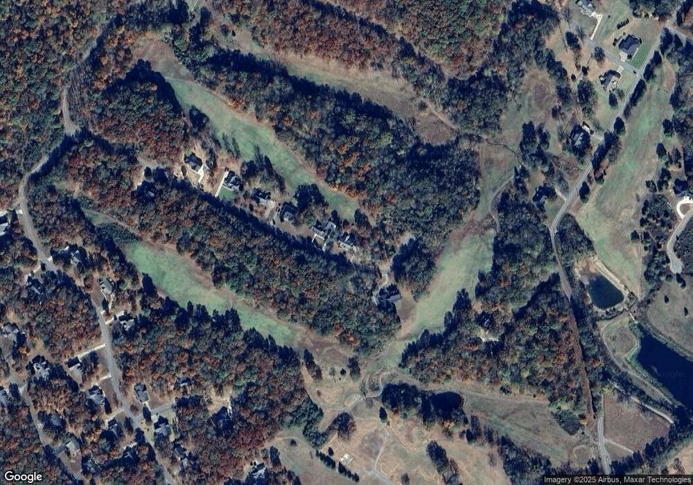
Map
Nearby Homes
- 1 Old Highway 28
- 19 Lower Brow Rd
- 0 Bill Pope Dr
- 235 Big Cedar Dr
- 30 Big Cedar Dr
- 76 Big Cedar Dr
- 16 Old State Hwy 28
- 0 Madison Dr Unit 1510956
- 500 Old Highway 28
- 91 Hidden View Dr
- 91 Lightning Ln
- 134 Mcwilliams Rd
- 100 River Dr
- 125 River Dr
- 124 River Dr
- 121 River Dr
- 63 River Dr
- 51 River Dr
- 46 Dry Branch Way
- Lot 45 Dry Branch Way
- 921 Big Cedar Dr
- 921 Big Cedar Dr
- 921 Big Cedar Dr
- 921 Big Cedar Dr
- 899 Big Cedar Dr
- 0 Big Cedar Lot 104 Dr
- 1012 Big Cedar Dr
- 968 Big Cedar Dr
- 873 Big Cedar Dr
- 320 Big Cedar Dr
- 873 Big Cedar Dr
- 92 Big Cedar Dr
- 827 Big Cedar Dr
- 827 Big Cedar Dr
- 74 Beech Ridge Dr
- 74 Beech Ridge Dr Unit 24
- 825 Big Cedar Dr
- 0 Beech Ridge Dr
- 23 Old St Hwy 28
- 4965 Old York Hwy