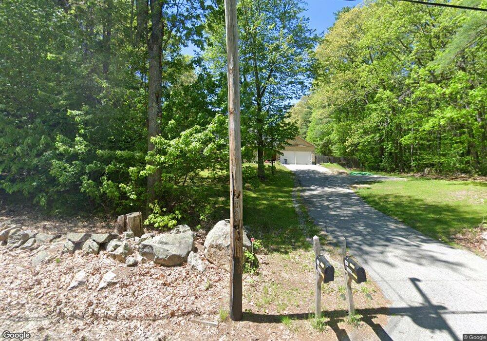
945 Strafford Rd Barrington, NH 03825
Estimated Value: $480,000 - $537,000
3
Beds
2
Baths
1,674
Sq Ft
$304/Sq Ft
Est. Value
About This Home
This home is located at 945 Strafford Rd, Barrington, NH 03825 and is currently estimated at $509,284, approximately $304 per square foot. 945 Strafford Rd is a home with nearby schools including Strafford School and Coe-Brown Northwood Academy.
Ownership History
Date
Name
Owned For
Owner Type
Purchase Details
Closed on
Jul 19, 2019
Sold by
Howe Geoffrey C and Robinson Phoebe A
Bought by
Young Nathan Q and Dobe Kelsey A
Current Estimated Value
Home Financials for this Owner
Home Financials are based on the most recent Mortgage that was taken out on this home.
Original Mortgage
$294,500
Outstanding Balance
$258,008
Interest Rate
3.82%
Mortgage Type
Purchase Money Mortgage
Estimated Equity
$251,276
Purchase Details
Closed on
Jul 2, 2014
Sold by
Norton Russell B and Hayes Jessica F
Bought by
Howe Geoffrey C and Robinson-Howe Phoebe
Create a Home Valuation Report for This Property
The Home Valuation Report is an in-depth analysis detailing your home's value as well as a comparison with similar homes in the area
Home Values in the Area
Average Home Value in this Area
Purchase History
| Date | Buyer | Sale Price | Title Company |
|---|---|---|---|
| Young Nathan Q | $310,000 | -- | |
| Young Nathan Q | $310,000 | -- | |
| Howe Geoffrey C | $186,000 | -- | |
| Howe Geoffrey C | $186,000 | -- |
Source: Public Records
Mortgage History
| Date | Status | Borrower | Loan Amount |
|---|---|---|---|
| Open | Young Nathan Q | $294,500 | |
| Closed | Young Nathan Q | $294,500 | |
| Closed | Howe Geoffrey C | $0 |
Source: Public Records
Tax History Compared to Growth
Tax History
| Year | Tax Paid | Tax Assessment Tax Assessment Total Assessment is a certain percentage of the fair market value that is determined by local assessors to be the total taxable value of land and additions on the property. | Land | Improvement |
|---|---|---|---|---|
| 2024 | $6,839 | $388,800 | $108,000 | $280,800 |
| 2023 | $6,489 | $388,800 | $108,000 | $280,800 |
| 2022 | $6,036 | $304,100 | $84,600 | $219,500 |
| 2021 | $5,930 | $304,100 | $84,600 | $219,500 |
| 2020 | $5,938 | $260,800 | $80,800 | $180,000 |
| 2019 | $5,912 | $260,800 | $80,800 | $180,000 |
| 2018 | $5,343 | $222,900 | $70,500 | $152,400 |
| 2017 | $5,367 | $222,900 | $70,500 | $152,400 |
| 2016 | $5,411 | $207,800 | $70,500 | $137,300 |
| 2015 | $5,221 | $207,000 | $70,500 | $136,500 |
| 2014 | $4,974 | $207,000 | $70,500 | $136,500 |
| 2013 | $4,849 | $215,900 | $80,000 | $135,900 |
Source: Public Records
Map
Nearby Homes
- 948 Strafford Rd
- 345 Dry Hill Rd
- 243 Second Crown Point Rd
- 86 Long Shores Dr
- 68 Berry River Rd
- 38 Strafford Rd
- 0 Long Shores Dr Unit 5057687
- 272 Walnut St
- 83 Sloper Rd
- 0 Sloper Rd Unit 6
- 40 Dry Hill Rd Unit Lot 0250/0006/0000
- 10 Blue Hills Dr
- 217-13 Washington St
- 212-0003-01 Washington St
- 207-002 Washington St
- 00 Squire Rd
- 8 Juniper Ln
- Map 220 Lot 16 Four Rod Rd
- 81 Hansonville Rd
- 395 Greenhill Rd
- 929 Strafford Rd
- 989 Strafford Rd
- 935 Strafford Rd
- 909 Strafford Rd
- 13-1 Strafford Rd
- Map 16 Lot 1 Strafford Rd
- 28 Kristie Ln
- 201-13-1 Strafford Route 202a Rd
- 36 Kristie Ln
- 14 Kristie Ln
- 22 Kristie Ln
- 42 Kristie Ln
- 45 Strafford Rd
- 6 Kristie Ln
- 500 Pond Hill Rd
- 476 Pond Hill Rd
- 0 Strafford Rd
- 151 Strafford Rd
- 44 Kristie Ln
- 292 Pond Hill Rd