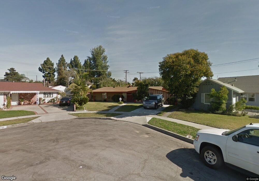
9450 Firebird Ave Whittier, CA 90605
South Whittier NeighborhoodEstimated Value: $730,000 - $838,000
3
Beds
1
Bath
1,592
Sq Ft
$497/Sq Ft
Est. Value
About This Home
This home is located at 9450 Firebird Ave, Whittier, CA 90605 and is currently estimated at $791,982, approximately $497 per square foot. 9450 Firebird Ave is a home located in Los Angeles County with nearby schools including Laurel Elementary School, Hillview Middle School, and Pioneer High School.
Ownership History
Date
Name
Owned For
Owner Type
Purchase Details
Closed on
Apr 28, 1997
Sold by
Macias Victor V and Macias Victor
Bought by
Plaza Joe A and Plaza Maria C
Current Estimated Value
Home Financials for this Owner
Home Financials are based on the most recent Mortgage that was taken out on this home.
Original Mortgage
$147,250
Outstanding Balance
$20,098
Interest Rate
7.96%
Estimated Equity
$771,884
Create a Home Valuation Report for This Property
The Home Valuation Report is an in-depth analysis detailing your home's value as well as a comparison with similar homes in the area
Home Values in the Area
Average Home Value in this Area
Purchase History
| Date | Buyer | Sale Price | Title Company |
|---|---|---|---|
| Plaza Joe A | $155,000 | Orange Coast Title |
Source: Public Records
Mortgage History
| Date | Status | Borrower | Loan Amount |
|---|---|---|---|
| Open | Plaza Joe A | $147,250 |
Source: Public Records
Tax History
| Year | Tax Paid | Tax Assessment Tax Assessment Total Assessment is a certain percentage of the fair market value that is determined by local assessors to be the total taxable value of land and additions on the property. | Land | Improvement |
|---|---|---|---|---|
| 2025 | $3,348 | $252,419 | $129,793 | $122,626 |
| 2024 | $3,348 | $247,471 | $127,249 | $120,222 |
| 2023 | $3,293 | $242,619 | $124,754 | $117,865 |
| 2022 | $3,223 | $237,862 | $122,308 | $115,554 |
| 2021 | $3,156 | $233,199 | $119,910 | $113,289 |
| 2019 | $3,092 | $226,284 | $116,354 | $109,930 |
| 2018 | $2,925 | $221,848 | $114,073 | $107,775 |
| 2016 | $2,760 | $213,236 | $109,645 | $103,591 |
| 2015 | $2,740 | $210,034 | $107,999 | $102,035 |
| 2014 | $2,710 | $205,921 | $105,884 | $100,037 |
Source: Public Records
Map
Nearby Homes
- 9344 Firebird Ave
- 9308 Tarryton Ave
- 9551 Barkerville Ave
- 9563 Greening Ave
- 13649 Lanning Dr
- 13856 Mulberry Dr
- 13448 Dunton Dr
- 13814 Mystic St
- 13414 Reis St
- 13561 Close St
- 10202 Mina Ave
- 14056 Hawes St
- 9834 Ahmann Ave
- 10035 Ben Hur Ave
- 9134 Greenleaf Ave
- 13924 Anola St
- 12918 Shreve Rd
- 14030 Dicky St
- 13838 Cornishcrest Rd
- 14102 La Forge St
- 9448 Firebird Ave
- 9456 Firebird Ave
- 9421 Tarryton Ave
- 9427 Tarryton Ave
- 9433 Tarryton Ave
- 9440 Firebird Ave
- 13636 Mulberry Dr
- 13636 Mulberry Dr
- 9462 Firebird Ave
- 9411 Tarryton Ave
- 13622 Mulberry Dr
- 13618 Mulberry Dr
- 9439 Tarryton Ave
- 9461 Firebird Ave
- 9434 Firebird Ave
- 9468 Firebird Ave
- 13612 Mulberry Dr
- 9405 Tarryton Ave
- 9445 Tarryton Ave
- 9420 Tarryton Ave
Your Personal Tour Guide
Ask me questions while you tour the home.