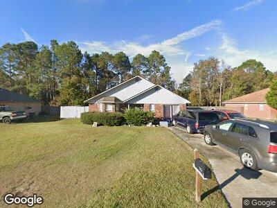
946 Poppleton Dr Hinesville, GA 31313
Estimated Value: $222,000 - $244,000
6
Beds
2
Baths
1,546
Sq Ft
$149/Sq Ft
Est. Value
About This Home
This home is located at 946 Poppleton Dr, Hinesville, GA 31313 and is currently estimated at $230,195, approximately $148 per square foot. 946 Poppleton Dr is a home located in Liberty County with nearby schools including Taylors Creek Elementary School, Lewis Frasier Middle School, and Bradwell Institute.
Ownership History
Date
Name
Owned For
Owner Type
Purchase Details
Closed on
Jun 24, 2003
Sold by
Gilmore Roderick K
Bought by
Carradine Gilmore Beverly
Current Estimated Value
Purchase Details
Closed on
Jul 31, 2000
Sold by
Brown Charles D
Bought by
Gilmore Roderick K
Purchase Details
Closed on
Mar 24, 1998
Sold by
B & S Homes Inc
Bought by
Brown Charles D
Purchase Details
Closed on
Apr 8, 1997
Bought by
B & S Homes Inc
Create a Home Valuation Report for This Property
The Home Valuation Report is an in-depth analysis detailing your home's value as well as a comparison with similar homes in the area
Home Values in the Area
Average Home Value in this Area
Purchase History
| Date | Buyer | Sale Price | Title Company |
|---|---|---|---|
| Carradine Gilmore Beverly | -- | -- | |
| Gilmore Roderick K | $71,000 | -- | |
| Brown Charles D | $69,200 | -- | |
| B & S Homes Inc | $20,600 | -- |
Source: Public Records
Tax History Compared to Growth
Tax History
| Year | Tax Paid | Tax Assessment Tax Assessment Total Assessment is a certain percentage of the fair market value that is determined by local assessors to be the total taxable value of land and additions on the property. | Land | Improvement |
|---|---|---|---|---|
| 2024 | $2,893 | $77,082 | $14,000 | $63,082 |
| 2023 | $2,893 | $65,902 | $12,000 | $53,902 |
| 2022 | $2,310 | $53,408 | $12,000 | $41,408 |
| 2021 | $2,139 | $48,873 | $12,000 | $36,873 |
| 2020 | $2,006 | $45,680 | $10,000 | $35,680 |
| 2019 | $2,014 | $46,149 | $10,000 | $36,149 |
| 2018 | $2,026 | $46,618 | $10,000 | $36,618 |
| 2017 | $1,539 | $46,722 | $10,000 | $36,722 |
| 2016 | $1,809 | $43,800 | $8,400 | $35,400 |
| 2015 | $1,958 | $44,600 | $9,200 | $35,400 |
| 2014 | $1,958 | $46,631 | $9,200 | $37,431 |
| 2013 | -- | $44,322 | $8,000 | $36,322 |
Source: Public Records
Map
Nearby Homes
- 1013 Barley Dr
- 926 Poppleton Dr
- 701 Waterfield Dr
- 1.17 ACRES Elam Rd
- 0 Airport Rd Unit 325633
- 2521 Cove St
- 116 Westchester Ln
- 2555 Parkland Blvd
- 2709 Java Ct
- 104 Shallowford Cir
- 2563 Zachary Ct
- 1295 Windrow Dr
- 0 Curtis Rd Unit 326190
- 1588 Longleaf Ct
- 1593 Longleaf Ct
- 1591 Longleaf Ct
- 1500 Bayberry Dr
- 1508 Bayberry Dr
- 1512 Bayberry Dr
- 946 Poppleton Dr
- 948 Poppleton Dr
- 944 Poppleton Dr
- 945 Poppleton Dr
- 942 Poppleton Dr
- 947 Poppleton Dr
- 950 Poppleton Dr
- 943 Poppleton Dr
- 941 Poppleton Dr
- 940 Poppleton Dr
- 939 Poppleton Dr
- 912 Rice Ct
- 913 Rice Ct Unit n/a
- 913 Rice Ct
- 938 Poppleton Dr
- 937 Poppleton Dr
- 1003 Lamar Ct
- 910 Rice Ct
- 911 Rice Ct
- 936 Poppleton Dr