946 S State Road 32 Union City, OH 47390
--
Bed
--
Bath
52,595
Sq Ft
8.1
Acres
About This Home
This home is located at 946 S State Road 32, Union City, OH 47390. 946 S State Road 32 is a home located in Randolph County with nearby schools including North Side Elementary School and Union City Community Jr/Sr High School.
Ownership History
Date
Name
Owned For
Owner Type
Purchase Details
Closed on
Aug 7, 2025
Sold by
Workhorse Motor Works Inc
Bought by
Mango Workhorse Llc
Purchase Details
Closed on
Jul 17, 2024
Sold by
Magnolia Buckeye Llc
Bought by
R & D Holdings Llc
Home Financials for this Owner
Home Financials are based on the most recent Mortgage that was taken out on this home.
Original Mortgage
$3,100,000
Interest Rate
6.87%
Mortgage Type
New Conventional
Create a Home Valuation Report for This Property
The Home Valuation Report is an in-depth analysis detailing your home's value as well as a comparison with similar homes in the area
Home Values in the Area
Average Home Value in this Area
Purchase History
| Date | Buyer | Sale Price | Title Company |
|---|---|---|---|
| Mango Workhorse Llc | -- | None Listed On Document | |
| R & D Holdings Llc | $2,300,000 | None Listed On Document |
Source: Public Records
Mortgage History
| Date | Status | Borrower | Loan Amount |
|---|---|---|---|
| Previous Owner | R & D Holdings Llc | $3,100,000 |
Source: Public Records
Tax History Compared to Growth
Tax History
| Year | Tax Paid | Tax Assessment Tax Assessment Total Assessment is a certain percentage of the fair market value that is determined by local assessors to be the total taxable value of land and additions on the property. | Land | Improvement |
|---|---|---|---|---|
| 2024 | $29,670 | $989,000 | $93,800 | $895,200 |
| 2023 | $9,135 | $304,500 | $93,800 | $210,700 |
| 2022 | $10,396 | $345,600 | $93,800 | $251,800 |
| 2021 | $10,711 | $356,100 | $153,800 | $202,300 |
| 2020 | $10,711 | $356,100 | $153,800 | $202,300 |
| 2019 | $11,260 | $374,400 | $108,800 | $265,600 |
| 2018 | $11,260 | $374,400 | $108,800 | $265,600 |
| 2017 | $11,179 | $371,700 | $108,800 | $262,900 |
| 2016 | $13,150 | $437,400 | $108,800 | $328,600 |
| 2014 | $11,904 | $396,800 | $95,000 | $301,800 |
| 2013 | $11,904 | $451,000 | $95,000 | $356,000 |
Source: Public Records
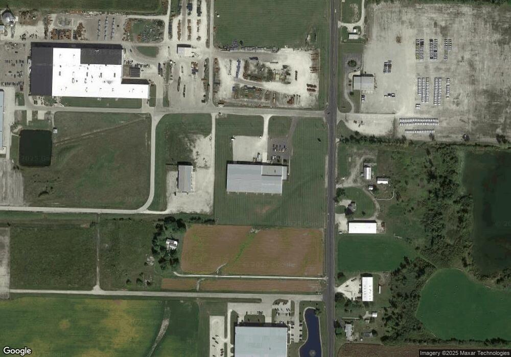
Map
Nearby Homes
- 1246 S State Road 32
- 918 Olive Ave Unit Lot 82
- 918 Moss Ave Unit Lot 81
- 910 Olive Ave Unit 60d
- 299 S Willow Dr Unit 61
- 299 S Willow Dr Unit Lot 63
- 800 W Chestnut St
- 1103 W Oak St
- 1210 W Hickory St
- 402 Charles St
- 2050 Frank Miller Rd
- 508 N High St
- 227 South St
- 1013 Caroline Ave
- 103 S Wintergreen St
- 507 N Howard St
- 309 S Market St
- LOT 19 & 20 Governor Isaac P Gray Add
- LOT 18 Governor Isaac P Gray Add
- LOT 9 Governor P Isaac Add
- 946 S St Rd 32
- 946 Indiana 32
- 946 S State Road 32
- 1085 S State Road 32
- 941 Indiana 32
- 941 S State Road 32
- 1335 S State Road 32
- 1085 S State Hwy 32
- 301 S Jackson Pike
- 1640 S State Road 32
- 327 Loden Dr Unit 29A
- 201 S Jackson Pike
- 201 S Jackson Pike
- 323 Loden Dr Unit Lot 28A
- 1710 S State Road 32
- 0 State Road 32 Unit 10011909
- 0 State Road 32 Unit 10016582
- 0 S Jackson Pike Unit State Road 32 and Ja
- 1351 W Chestnut St
- 1812 S State Road 32