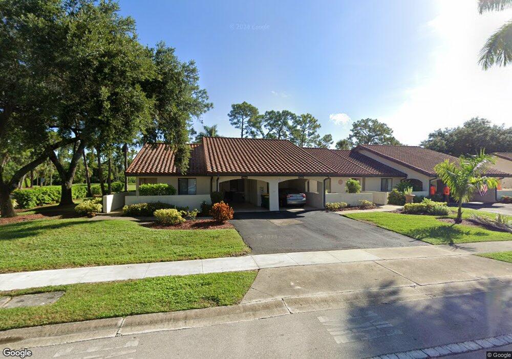
946 Saint Andrews Blvd Naples, FL 34113
Lely Country Club NeighborhoodEstimated Value: $1,041,000 - $10,341,026
--
Bed
--
Bath
29,532
Sq Ft
$193/Sq Ft
Est. Value
About This Home
This home is located at 946 Saint Andrews Blvd, Naples, FL 34113 and is currently estimated at $5,691,013, approximately $192 per square foot. 946 Saint Andrews Blvd is a home located in Collier County with nearby schools including Lely Elementary School, Manatee Middle School, and Lely High School.
Ownership History
Date
Name
Owned For
Owner Type
Purchase Details
Closed on
Dec 20, 2007
Sold by
Manorcare Health Services Inc
Bought by
Hcr Manorcare Properties Llc
Current Estimated Value
Purchase Details
Closed on
Apr 24, 1998
Sold by
Manor Care Of Boynton Beach Inc
Bought by
Board Of Cty Commissioners Collier Cty
Purchase Details
Closed on
Sep 30, 1995
Sold by
Beverly Ent Fl Inc
Bought by
Manor Care Boynton Bch Inc
Create a Home Valuation Report for This Property
The Home Valuation Report is an in-depth analysis detailing your home's value as well as a comparison with similar homes in the area
Home Values in the Area
Average Home Value in this Area
Purchase History
| Date | Buyer | Sale Price | Title Company |
|---|---|---|---|
| Hcr Manorcare Properties Llc | -- | Chicago Title Ins Co | |
| Board Of Cty Commissioners Collier Cty | -- | -- | |
| Manor Care Boynton Bch Inc | $2,575,000 | -- |
Source: Public Records
Tax History Compared to Growth
Tax History
| Year | Tax Paid | Tax Assessment Tax Assessment Total Assessment is a certain percentage of the fair market value that is determined by local assessors to be the total taxable value of land and additions on the property. | Land | Improvement |
|---|---|---|---|---|
| 2025 | $35,521 | $2,869,086 | $398,970 | $2,470,116 |
| 2024 | $35,491 | $2,838,778 | $398,970 | $2,439,808 |
| 2023 | $35,491 | $2,785,595 | $398,970 | $2,386,625 |
| 2022 | $35,948 | $2,636,905 | $0 | $0 |
| 2021 | $33,571 | $2,397,186 | $386,100 | $2,011,086 |
| 2020 | $34,074 | $2,472,634 | $429,000 | $2,043,634 |
| 2019 | $32,648 | $2,339,602 | $0 | $0 |
| 2018 | $31,996 | $2,294,981 | $0 | $0 |
| 2017 | $31,241 | $2,223,656 | $0 | $0 |
| 2016 | $30,592 | $2,195,957 | $0 | $0 |
| 2015 | $29,745 | $2,088,990 | $0 | $0 |
| 2014 | $28,183 | $1,899,082 | $0 | $0 |
Source: Public Records
Map
Nearby Homes
- 813 Saint Andrews Blvd
- 6541 Roma Way
- 186 Muirfield Cir
- 6504 Costa Cir
- 6564 Roma Way
- 6528 Costa Cir
- 6239 Mandalay Cir Unit 42
- 6608 Roma Way
- 5841 Rattlesnake Hammock Rd Unit 203
- 5841 Rattlesnake Hammock Rd Unit 108
- 6187 Mandalay Cir Unit 32
- 5825 Rattlesnake Hammock Rd Unit 108
- 760 Augusta Blvd Unit 101
- 6445 Costa Cir
- 914 Augusta Blvd
- 914 Augusta Blvd Unit 7
- 855 Saint Andrews Blvd
- 848 Saint Andrews Blvd
- 867 Saint Andrews Blvd
- 843 Saint Andrews Blvd
- 879 Saint Andrews Blvd
- 891 Saint Andrews Blvd
- 836 Saint Andrews Blvd
- 104 Cherry Hill Ct
- 831 Saint Andrews Blvd
- 831 St Andrews Blvd
- 101 Cedar Crest Ct
- 105 Cedar Crest Ct
- 819 Saint Andrews Blvd
- 824 Saint Andrews Blvd
- 107 Cherry Hill Ct
- 105 Cherry Hill Ct
- 106 Cedar Crest Ct
- 102 Cedar Crest Ct
- 812 Saint Andrews Blvd
- 104 Cedar Crest Ct