946 Saint Andrews Cir Springfield, MO 65809
Southeast Springfield NeighborhoodEstimated Value: $826,000 - $902,000
About This Home
This home is located at 946 Saint Andrews Cir, Springfield, MO 65809 and is currently estimated at $857,211, approximately $151 per square foot. 946 Saint Andrews Cir is a home located in Greene County with nearby schools including Hickory Hills K-8 School, Glendale High School, and Grace Classical Academy.
Ownership History
We collect this data history from publicly available records. To have your information removed, we recommend requesting removal directly through your county’s website.
Purchase Details
Purchase Details
Purchase Details
Purchase Details
Home Values in the Area
Average Home Value in this Area
Purchase History
We collect this data history from publicly available records. To have your information removed, we recommend requesting removal directly through your county’s website.
| Date | Buyer | Sale Price | Title Company |
|---|---|---|---|
| -- | None Available | ||
| -- | None Available | ||
| -- | None Available | ||
| -- | None Available |
Tax History
We collect this data history from publicly available records. To have your information removed, we recommend requesting removal directly through your county’s website.
| Year | Tax Paid | Tax Assessment Tax Assessment Total Assessment is a certain percentage of the fair market value that is determined by local assessors to be the total taxable value of land and additions on the property. | Land | Improvement |
|---|---|---|---|---|
| 2025 | $7,038 | $141,740 | $35,150 | $106,590 |
| 2024 | $7,038 | $131,180 | $35,150 | $96,030 |
| 2023 | $6,998 | $131,180 | $35,150 | $96,030 |
| 2022 | $6,168 | $112,940 | $35,150 | $77,790 |
| 2021 | $6,167 | $112,940 | $35,150 | $77,790 |
| 2020 | $6,188 | $108,360 | $35,150 | $73,210 |
| 2019 | $6,014 | $108,360 | $35,150 | $73,210 |
| 2018 | $5,929 | $106,880 | $35,150 | $71,730 |
| 2017 | $5,869 | $98,440 | $35,150 | $63,290 |
| 2016 | $5,395 | $98,440 | $35,150 | $63,290 |
| 2015 | $5,346 | $98,440 | $35,150 | $63,290 |
| 2014 | $5,384 | $98,440 | $35,150 | $63,290 |
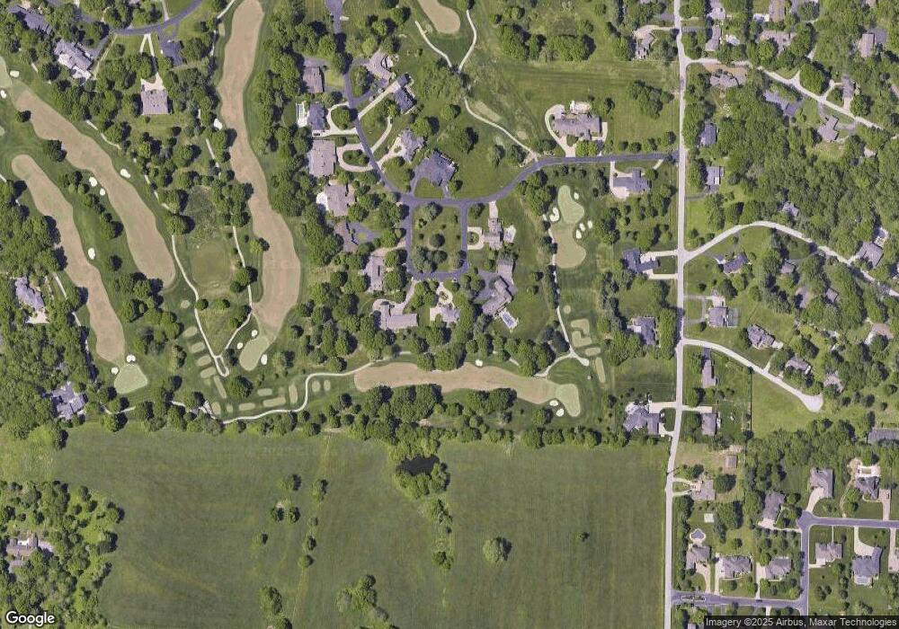
Map
- 850 S Mumford Dr
- 755 S Mumford Dr
- 4254 E Ridgeview Dr
- 754 S Pearson Dr
- 3757 E Ebony Place
- 3810 E Cherry St Unit A 104
- 3810 E Cherry St Unit 32
- 3810 E Cherry St Unit 18
- 4110 E Shafter Cir
- 1318 S Jones Mill Ln
- 3723 E Sugar Hill St
- 3741 E Sugar Hill St
- 4220 E Whitehall Dr
- Tract 2 S Post Oak Ct
- 410 S Oaks Dr
- 1113 S Carriage Ave
- 715 S Farm Road 193
- 4308 E Catalpa St
- 1455 S Oakmont Ave
- 3546 E Cinnamon Place
- 936 Saint Andrews Cir
- 935 Saint Andrews Cir
- 910 Saint Andrews Cir
- 925 Saint Andrews Cir
- 911 Saint Andrews Cir
- 3985 E Saint Andrews Dr
- 3960 E Saint Andrews Dr
- 3960 E Street Andrews Dr
- 3961 E Street Andrews Dr
- 3961 E Saint Andrews Dr
- 929 S Mumford Dr
- 3950 E Street Andrews Dr
- 903 S Mumford Dr
- 3950 E Saint Andrews Dr
- 955 S Mumford Dr
- 3955 E Saint Andrews Dr
- 3955 E Street Andrews Dr
- 4148 E Saint Andrews Dr
- 4131 E Saint Andrews Dr
- 3940 E Saint Andrews Dr
Ask me questions while you tour the home.