Estimated Value: $51,000 - $262,115
2
Beds
1
Bath
1,036
Sq Ft
$164/Sq Ft
Est. Value
About This Home
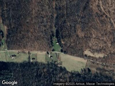
This home is located at 946 States Fork Rd, Metz, WV 26585 and is currently estimated at $170,038, approximately $164 per square foot. 946 States Fork Rd is a home with nearby schools including Fairview Elementary School and North Marion High School.
Ownership History
Date
Name
Owned For
Owner Type
Purchase Details
Closed on
Mar 13, 2023
Sold by
Bowyer David E
Bought by
Minerals Llc and Agriculture Llc
Current Estimated Value
Purchase Details
Closed on
Mar 3, 2023
Sold by
Richards Darrell R
Bought by
Country Roads Minerals Llc and Lacore Agriculture Llc
Purchase Details
Closed on
Sep 18, 2019
Sold by
Cnx Land Llc
Bought by
Gilbert Joseph H
Home Financials for this Owner
Home Financials are based on the most recent Mortgage that was taken out on this home.
Original Mortgage
$57,200
Interest Rate
3.6%
Create a Home Valuation Report for This Property
The Home Valuation Report is an in-depth analysis detailing your home's value as well as a comparison with similar homes in the area
Home Values in the Area
Average Home Value in this Area
Purchase History
| Date | Buyer | Sale Price | Title Company |
|---|---|---|---|
| Minerals Llc | $15,750 | -- | |
| Country Roads Minerals Llc | $15,750 | -- | |
| Gilbert Joseph H | -- | None Available |
Source: Public Records
Mortgage History
| Date | Status | Borrower | Loan Amount |
|---|---|---|---|
| Previous Owner | Gilbert Joseph H | $57,200 |
Source: Public Records
Tax History Compared to Growth
Tax History
| Year | Tax Paid | Tax Assessment Tax Assessment Total Assessment is a certain percentage of the fair market value that is determined by local assessors to be the total taxable value of land and additions on the property. | Land | Improvement |
|---|---|---|---|---|
| 2024 | $1,039 | $104,520 | $36,420 | $68,100 |
| 2023 | $1,039 | $101,580 | $36,420 | $65,160 |
| 2022 | $934 | $95,460 | $36,420 | $59,040 |
| 2021 | $964 | $98,880 | $42,240 | $56,640 |
| 2020 | $2,417 | $98,340 | $44,460 | $53,880 |
| 2019 | $2,934 | $117,300 | $54,660 | $62,640 |
| 2018 | $2,738 | $110,280 | $53,760 | $56,520 |
| 2017 | $2,581 | $105,060 | $49,080 | $55,980 |
| 2016 | $2,544 | $103,920 | $49,080 | $54,840 |
| 2015 | $2,282 | $101,940 | $49,080 | $52,860 |
| 2014 | $2,282 | $92,340 | $39,180 | $53,160 |
Source: Public Records
Map
Nearby Homes
- 24 and 24.1 Pyles Fork Rd
- 100 Drakes Run Rd
- 605 Warrior Fork Rd
- TBD Starkey Run
- 1931 Saint Leo Rd
- 0 Brush Run Rd
- TBD Pyles Ave
- 325 Pyles Ave
- 213 2nd St
- 324 Rose St
- 309 E Main St
- TBD Highland St
- 122 Windy Hill Dr
- 757 Huey Run
- TBD Joes Run Rd
- 25922 Mountaineer Hwy
- TBD Sunshine Rd
- 506 Delta Rd
- 4356 Crossroads Rd
- TBD Crabapple Run
