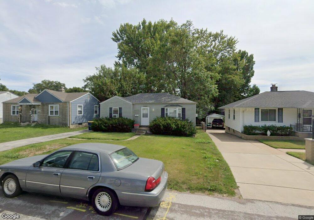
9464 Harold Dr Saint Louis, MO 63134
Estimated Value: $111,000 - $138,000
2
Beds
1
Bath
877
Sq Ft
$139/Sq Ft
Est. Value
About This Home
This home is located at 9464 Harold Dr, Saint Louis, MO 63134 and is currently estimated at $122,027, approximately $139 per square foot. 9464 Harold Dr is a home located in St. Louis County with nearby schools including Kratz Elementary School, Hoech Middle School, and Ritenour Senior High School.
Ownership History
Date
Name
Owned For
Owner Type
Purchase Details
Closed on
Jun 26, 2006
Sold by
1228 Llc
Bought by
Mcdonald Robert M and Mcdonald Angela
Current Estimated Value
Home Financials for this Owner
Home Financials are based on the most recent Mortgage that was taken out on this home.
Original Mortgage
$78,380
Outstanding Balance
$46,236
Interest Rate
6.63%
Mortgage Type
FHA
Estimated Equity
$75,791
Purchase Details
Closed on
Sep 16, 2003
Sold by
Price Pamela L
Bought by
1228 Llc
Home Financials for this Owner
Home Financials are based on the most recent Mortgage that was taken out on this home.
Original Mortgage
$57,700
Interest Rate
6.31%
Mortgage Type
Purchase Money Mortgage
Create a Home Valuation Report for This Property
The Home Valuation Report is an in-depth analysis detailing your home's value as well as a comparison with similar homes in the area
Home Values in the Area
Average Home Value in this Area
Purchase History
| Date | Buyer | Sale Price | Title Company |
|---|---|---|---|
| Mcdonald Robert M | $79,000 | None Available | |
| 1228 Llc | $53,000 | -- |
Source: Public Records
Mortgage History
| Date | Status | Borrower | Loan Amount |
|---|---|---|---|
| Open | Mcdonald Robert M | $78,380 | |
| Previous Owner | 1228 Llc | $57,700 |
Source: Public Records
Tax History
| Year | Tax Paid | Tax Assessment Tax Assessment Total Assessment is a certain percentage of the fair market value that is determined by local assessors to be the total taxable value of land and additions on the property. | Land | Improvement |
|---|---|---|---|---|
| 2025 | $1,699 | $22,170 | $5,810 | $16,360 |
| 2024 | $1,699 | $19,400 | $3,500 | $15,900 |
| 2023 | $1,665 | $19,400 | $3,500 | $15,900 |
| 2022 | $1,410 | $14,460 | $3,100 | $11,360 |
| 2021 | $1,408 | $14,460 | $3,100 | $11,360 |
| 2020 | $1,149 | $10,890 | $3,480 | $7,410 |
| 2019 | $1,137 | $10,890 | $3,480 | $7,410 |
| 2018 | $1,109 | $9,620 | $1,580 | $8,040 |
| 2017 | $1,058 | $9,620 | $1,580 | $8,040 |
| 2016 | $1,158 | $10,620 | $1,960 | $8,660 |
Source: Public Records
Map
Nearby Homes
- 9422 Chester Ave
- 9406 Bataan Dr
- 4204 Beauty Ln
- 9551 Margo Ann Ln
- 3669 Isolda Ave
- 9720 Lilly Jean Dr
- 9225 Corregidor Ave
- 9724 Margo Ann Ln
- 9207 Bataan Dr
- 9310 Shirley Gardens Dr
- 3355 Edmundson Rd
- 9056 Mcnulty Dr
- 9047 Kathlyn Dr
- 3532 Wismer Rd
- 3520 Wismer Rd
- 3902 Jane Ave
- 9121 Guthrie Ave
- 3368 Suncrest Ave
- 9743 Treadway Ln
- 3360 Suncrest Ave
- 9460 Harold Dr
- 9468 Harold Dr
- 9456 Harold Dr
- 9472 Harold Dr
- 9465 Kathlyn Dr
- 9461 Kathlyn Dr
- 9469 Kathlyn Dr
- 9452 Harold Dr
- 9457 Kathlyn Dr
- 9473 Kathlyn Dr
- 9528 Harold Dr
- 9465 Harold Dr
- 9469 Harold Dr
- 9461 Harold Dr
- 9453 Kathlyn Dr
- 9473 Harold Dr
- 9457 Harold Dr
- 9448 Harold Dr
- 9515 Lambert Terrace
- 9453 Harold Dr
Your Personal Tour Guide
Ask me questions while you tour the home.