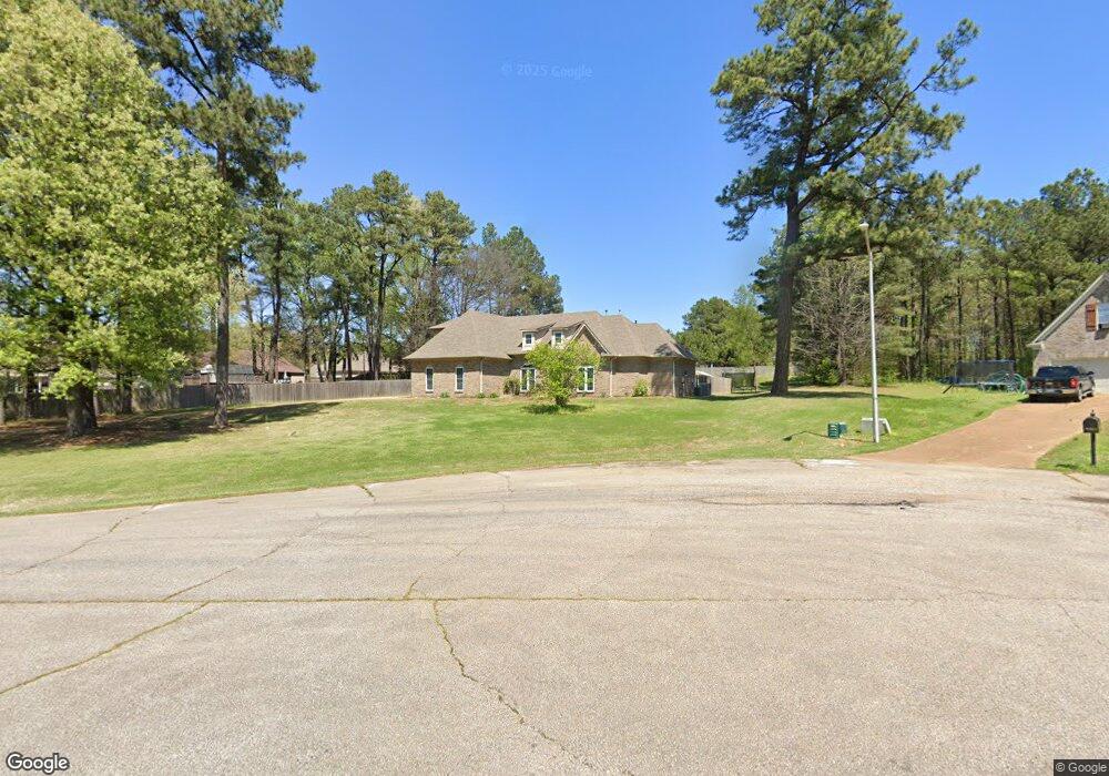
9469 Taylor Cove Olive Branch, MS 38654
Estimated Value: $356,000 - $387,877
5
Beds
3
Baths
2,886
Sq Ft
$128/Sq Ft
Est. Value
About This Home
This home is located at 9469 Taylor Cove, Olive Branch, MS 38654 and is currently estimated at $369,969, approximately $128 per square foot. 9469 Taylor Cove is a home located in DeSoto County with nearby schools including Olive Branch Elementary School, Chickasaw Elementary School, and Olive Branch Middle School.
Ownership History
Date
Name
Owned For
Owner Type
Purchase Details
Closed on
Jul 10, 2013
Sold by
Farm Christopher R and Farm Amy M
Bought by
Morgan Elizabeth N
Current Estimated Value
Home Financials for this Owner
Home Financials are based on the most recent Mortgage that was taken out on this home.
Original Mortgage
$160,000
Outstanding Balance
$114,560
Interest Rate
3.79%
Mortgage Type
New Conventional
Estimated Equity
$255,409
Create a Home Valuation Report for This Property
The Home Valuation Report is an in-depth analysis detailing your home's value as well as a comparison with similar homes in the area
Home Values in the Area
Average Home Value in this Area
Purchase History
| Date | Buyer | Sale Price | Title Company |
|---|---|---|---|
| Morgan Elizabeth N | -- | None Available |
Source: Public Records
Mortgage History
| Date | Status | Borrower | Loan Amount |
|---|---|---|---|
| Open | Morgan Elizabeth N | $160,000 |
Source: Public Records
Tax History
| Year | Tax Paid | Tax Assessment Tax Assessment Total Assessment is a certain percentage of the fair market value that is determined by local assessors to be the total taxable value of land and additions on the property. | Land | Improvement |
|---|---|---|---|---|
| 2025 | $3,041 | $28,857 | $3,500 | $25,357 |
| 2024 | $2,479 | $20,359 | $3,500 | $16,859 |
| 2023 | $2,479 | $20,359 | $0 | $0 |
| 2022 | $2,479 | $20,359 | $3,500 | $16,859 |
| 2021 | $2,479 | $20,359 | $3,500 | $16,859 |
| 2020 | $2,295 | $19,011 | $3,500 | $15,511 |
| 2019 | $2,044 | $17,175 | $3,500 | $13,675 |
| 2017 | $2,000 | $30,024 | $16,762 | $13,262 |
| 2016 | $2,000 | $16,484 | $3,500 | $12,984 |
| 2015 | $2,262 | $29,468 | $16,484 | $12,984 |
| 2014 | $1,962 | $16,484 | $0 | $0 |
| 2013 | -- | $16,220 | $0 | $0 |
Source: Public Records
Map
Nearby Homes
- 10719 Highway 178
- 10254 March Meadows Way
- 10238 March Meadows Way
- 9784 Mosby Dr
- 5608 Marlin Place
- 10009 Lacey Dr
- 4722 Alexander Rd
- 4342 Dockery Dr
- 10957 Lexington Dr
- 9598 Nielsen Dr
- 5155 Rolling Pine Cir
- 4289 Becky Sue Cove
- 6303 Oak Run Dr W
- 0 Hacks Rd Unit 4132565
- 9490 Mississippi 178
- 2914 Cypress Lake Dr S
- 6073 Allen Pkwy E
- 5956 Eagleston Dr
- 10890 Mississippi 178
- 7550 Old Highway 78
- 9461 Taylor Cove
- 9793 Dorothy Dr
- 9761 Dorothy Dr
- 9453 Taylor Cove
- 9452 Taylor Cove
- 9809 Dorothy Dr
- 9468 Taylor Cove
- 9825 Dorothy Dr
- 9460 Taylor Cove
- 9484 Taylor Cove
- 9500 Taylor Cove
- 9500 Taylor Dr
- 9841 Dorothy Dr
- 10473 Loftin Dr
- 9516 Taylor Dr
- 9516 Taylor Cove
- 10520 Church St
- 10520 Church St Unit 1
- 10479 Loftin Dr
- 9857 Dorothy Dr
Your Personal Tour Guide
Ask me questions while you tour the home.