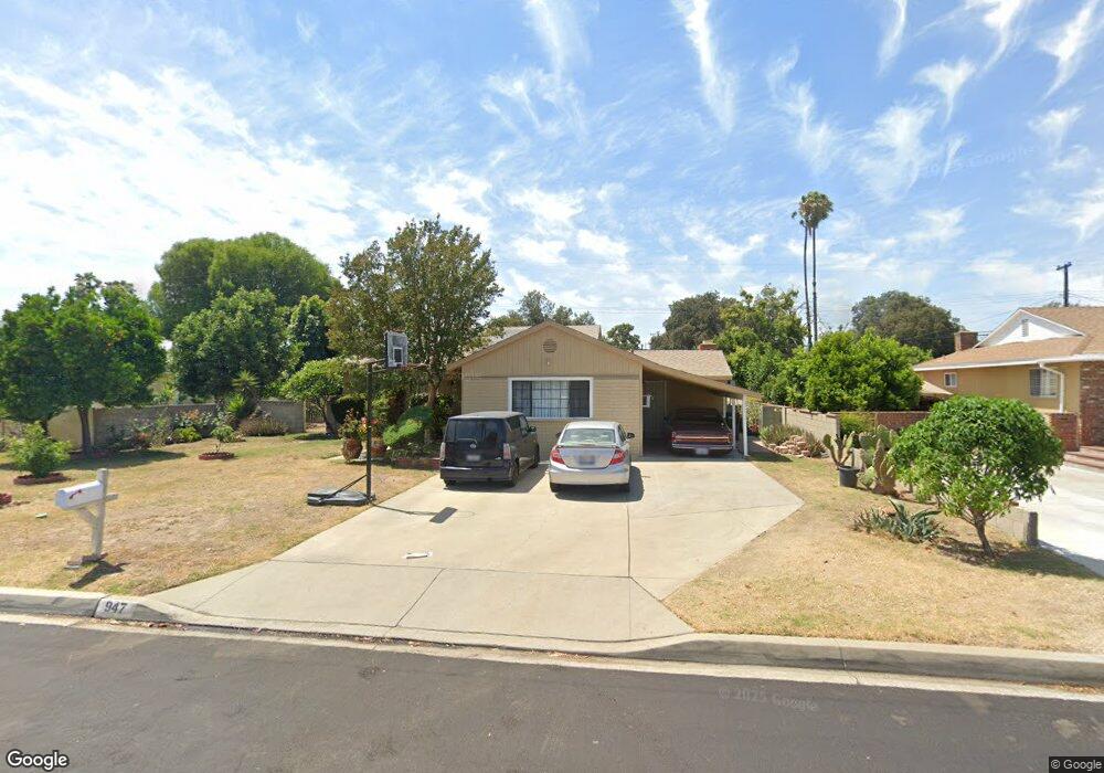
947 S Glenshaw Dr West Covina, CA 91790
Estimated Value: $827,214 - $915,000
4
Beds
2
Baths
1,724
Sq Ft
$496/Sq Ft
Est. Value
About This Home
This home is located at 947 S Glenshaw Dr, West Covina, CA 91790 and is currently estimated at $855,304, approximately $496 per square foot. 947 S Glenshaw Dr is a home located in Los Angeles County with nearby schools including Wescove Elementary School, Walnut Grove Intermediate School, and Edgewood High School.
Ownership History
Date
Name
Owned For
Owner Type
Purchase Details
Closed on
Jul 26, 2012
Sold by
Llanes Cipriano
Bought by
Llanes Dolores L
Current Estimated Value
Home Financials for this Owner
Home Financials are based on the most recent Mortgage that was taken out on this home.
Original Mortgage
$208,200
Interest Rate
3.5%
Mortgage Type
New Conventional
Purchase Details
Closed on
Aug 29, 2007
Sold by
Llanes Cipriano and Llanes Dolores
Bought by
Llanes Dolores
Create a Home Valuation Report for This Property
The Home Valuation Report is an in-depth analysis detailing your home's value as well as a comparison with similar homes in the area
Home Values in the Area
Average Home Value in this Area
Purchase History
| Date | Buyer | Sale Price | Title Company |
|---|---|---|---|
| Llanes Dolores L | -- | First American Els | |
| Llanes Dolores | -- | None Available |
Source: Public Records
Mortgage History
| Date | Status | Borrower | Loan Amount |
|---|---|---|---|
| Closed | Llanes Dolores L | $208,200 |
Source: Public Records
Tax History Compared to Growth
Tax History
| Year | Tax Paid | Tax Assessment Tax Assessment Total Assessment is a certain percentage of the fair market value that is determined by local assessors to be the total taxable value of land and additions on the property. | Land | Improvement |
|---|---|---|---|---|
| 2025 | $6,555 | $183,725 | $57,364 | $126,361 |
| 2024 | $6,555 | $180,124 | $56,240 | $123,884 |
| 2023 | $6,438 | $176,593 | $55,138 | $121,455 |
| 2022 | $6,449 | $173,131 | $54,057 | $119,074 |
| 2021 | $6,377 | $169,738 | $52,998 | $116,740 |
| 2019 | $6,309 | $164,705 | $51,427 | $113,278 |
| 2018 | $6,126 | $161,476 | $50,419 | $111,057 |
| 2016 | $1,998 | $155,208 | $48,462 | $106,746 |
| 2015 | $1,965 | $152,878 | $47,735 | $105,143 |
| 2014 | $1,960 | $149,884 | $46,800 | $103,084 |
Source: Public Records
Map
Nearby Homes
- 1217 W Barbara Ave
- 1134 S Shadydale Ave
- 1308 W Lighthall St
- 1119 W Merced Ave
- 1019 W Pine St
- 912 W Service Ave
- 1626 Cayton Loop
- 944 S Russelee Dr
- 1027 W Durness St
- 944 S Sharonlee Dr
- 1406 S St Malo St
- 1752 Cayton Loop
- 1736 Cayton Loop
- 1220 Wescove Place
- 1529 Cascade
- 1801 W Mossberg Ave
- 1818 W Merced Ave
- Plan 2 at The Grove at Merced
- Plan 1 at The Grove at Merced
- 1828 W Merced Ave
- 941 S Glenshaw Dr
- 953 S Glenshaw Dr
- 948 S Evanwood Ave
- 942 S Evanwood Ave
- 954 S Evanwood Ave
- 933 S Glenshaw Dr
- 1035 W Leewood St
- 959 S Glenshaw Dr
- 934 S Evanwood Ave
- 1034 W Leewood St
- 960 S Evanwood Ave
- 1034 W Robindale St
- 1029 W Leewood St
- 1005 S Glenshaw Dr
- 928 S Evanwood Ave
- 927 S Glenshaw Dr
- 1028 W Leewood St
- 1035 W Vine Ave
- 1028 W Robindale St
- 947 S Evanwood Ave