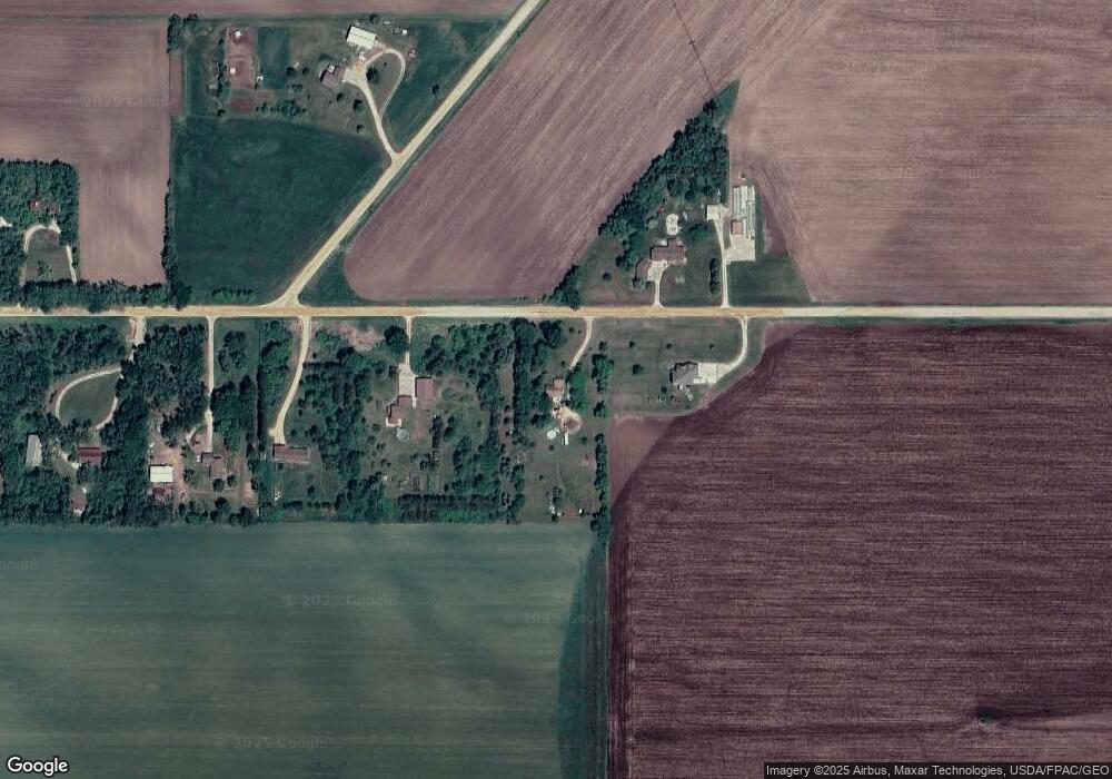
9470 205th St E Hastings, MN 55033
Estimated Value: $417,668 - $452,000
4
Beds
2
Baths
1,248
Sq Ft
$345/Sq Ft
Est. Value
About This Home
This home is located at 9470 205th St E, Hastings, MN 55033 and is currently estimated at $430,917, approximately $345 per square foot. 9470 205th St E is a home located in Dakota County with nearby schools including Pinecrest Elementary School, Hastings Middle School, and Hastings High School.
Ownership History
Date
Name
Owned For
Owner Type
Purchase Details
Closed on
May 23, 2001
Sold by
Ferdinandt Carrie A and Ferdinandt Kevin W
Bought by
Matz Eric R and Murray Jennifer A
Current Estimated Value
Purchase Details
Closed on
Sep 8, 2000
Sold by
Rother Gerald and Rother Judy
Bought by
Ferdinandt Carrie A and Ferdinandt Kevin W
Create a Home Valuation Report for This Property
The Home Valuation Report is an in-depth analysis detailing your home's value as well as a comparison with similar homes in the area
Home Values in the Area
Average Home Value in this Area
Purchase History
| Date | Buyer | Sale Price | Title Company |
|---|---|---|---|
| Matz Eric R | $224,900 | -- | |
| Ferdinandt Carrie A | $185,000 | -- |
Source: Public Records
Tax History Compared to Growth
Tax History
| Year | Tax Paid | Tax Assessment Tax Assessment Total Assessment is a certain percentage of the fair market value that is determined by local assessors to be the total taxable value of land and additions on the property. | Land | Improvement |
|---|---|---|---|---|
| 2024 | $2,486 | $343,300 | $93,800 | $249,500 |
| 2023 | $2,486 | $345,900 | $94,700 | $251,200 |
| 2022 | $2,070 | $314,900 | $93,700 | $221,200 |
| 2021 | $2,106 | $271,000 | $80,900 | $190,100 |
| 2020 | $2,076 | $274,100 | $80,900 | $193,200 |
| 2019 | $1,994 | $255,900 | $77,000 | $178,900 |
| 2018 | $1,997 | $232,700 | $73,400 | $159,300 |
| 2017 | $1,851 | $223,200 | $69,900 | $153,300 |
| 2016 | $1,767 | $210,900 | $68,500 | $142,400 |
| 2015 | $1,649 | $179,304 | $60,072 | $119,232 |
| 2014 | -- | $165,367 | $55,932 | $109,435 |
| 2013 | -- | $161,015 | $54,507 | $106,508 |
Source: Public Records
Map
Nearby Homes
- 8550 238th St E
- 18135 Lillehei Ave
- 23345 Water St
- TBD 250thn St E
- 23550 Main St
- TBD Richard J Ames Memorial Hwy
- 23820 Main St
- 4781 Aspen St
- 2685 Woodcliffe Trail
- 1634 River Shore Dr
- 1765 Brandlewood Ct
- 1780 River Shore Dr
- 1595 River Shore Dr
- 1730 River Shore Dr
- 1757 Brandlewood Ct
- 753 Greten Ln
- 1797 Cobblestone Ct
- 1796 Cobblestone Ct
- 1821 Fallbrooke Dr
- Alley Plan at Heritage Ridge
- 9200 205th St E
- 9010 205th St E
- 9155 205th St E
- 8990 205th St E
- 20385 Lewiston Blvd
- 8850 205th St E
- 8865 205th St E
- 20300 Lewiston Blvd
- 20578 Lewiston Blvd
- 8795 205th St E
- 8667 205th St E
- 8555 205th St E
- 8549 205th St E
- 8525 205th St E
- 19999 Lewiston Blvd
- 20059 Lewiston Blvd
- 21000 Lewiston Blvd
- 9767 205th St E
- 20885 20885 Lewiston-Boulevard-
- 20885 Lewiston Blvd
