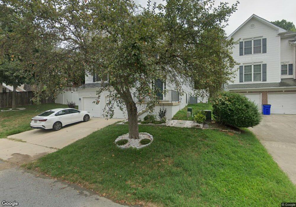
9471 Decatur Rd Laurel, MD 20723
North Laurel NeighborhoodEstimated Value: $630,000 - $700,000
Studio
3
Baths
2,496
Sq Ft
$270/Sq Ft
Est. Value
About This Home
This home is located at 9471 Decatur Rd, Laurel, MD 20723 and is currently estimated at $674,055, approximately $270 per square foot. 9471 Decatur Rd is a home located in Howard County with nearby schools including Laurel Woods Elementary School, Murray Hill Middle School, and Reservoir High School.
Ownership History
Date
Name
Owned For
Owner Type
Purchase Details
Closed on
Mar 29, 2023
Sold by
Solis Elian
Bought by
Solis Elian
Current Estimated Value
Purchase Details
Closed on
Jun 28, 2004
Sold by
Sturbridge Signature Series Llc
Bought by
Elian Solis and Elian Maricela Bolanos
Purchase Details
Closed on
Apr 30, 1984
Sold by
Halkos Michael J
Bought by
Halkos Michael J
Create a Home Valuation Report for This Property
The Home Valuation Report is an in-depth analysis detailing your home's value as well as a comparison with similar homes in the area
Home Values in the Area
Average Home Value in this Area
Purchase History
| Date | Buyer | Sale Price | Title Company |
|---|---|---|---|
| Solis Elian | -- | -- | |
| Elian Solis | $378,140 | -- | |
| Elian Solis | $378,140 | -- | |
| Halkos Michael J | $35,000 | -- |
Source: Public Records
Mortgage History
| Date | Status | Borrower | Loan Amount |
|---|---|---|---|
| Closed | Elian Solis | -- |
Source: Public Records
Tax History
| Year | Tax Paid | Tax Assessment Tax Assessment Total Assessment is a certain percentage of the fair market value that is determined by local assessors to be the total taxable value of land and additions on the property. | Land | Improvement |
|---|---|---|---|---|
| 2025 | $8,448 | $583,800 | $166,600 | $417,200 |
| 2024 | $8,448 | $549,367 | $0 | $0 |
| 2023 | $7,858 | $514,933 | $0 | $0 |
| 2022 | $7,019 | $480,500 | $151,600 | $328,900 |
| 2021 | $6,537 | $451,667 | $0 | $0 |
| 2020 | $6,381 | $422,833 | $0 | $0 |
| 2019 | $3,747 | $394,000 | $110,900 | $283,100 |
| 2018 | $2,821 | $389,933 | $0 | $0 |
| 2017 | $2,776 | $394,000 | $0 | $0 |
| 2016 | -- | $381,800 | $0 | $0 |
| 2015 | -- | $381,800 | $0 | $0 |
| 2014 | -- | $381,800 | $0 | $0 |
Source: Public Records
Map
Nearby Homes
- 9324 Meredith Ave
- Lot 5 Cissell Ave
- 9575 Cissell Ave
- 10020 Ruffian Way Unit E
- 9928A Sir Barton Way
- 9992B Justify Run
- 9928B Sir Barton Way
- 10026 American Pharoah Ln Unit A
- 10012 -A American Pharoah Ln
- 9992 Justify Run Unit B
- 10006 American Pharoah Ln Unit A
- 10009B American Pharoah Ln
- 9990 Justify Run Unit A
- 9990 Justify Run Unit B
- 9964B Count Fleet Crescent
- 9956A Count Fleet Crescent
- 9640 Homestead Ct Unit F
- 19 Post Office Ave Unit 203
- 9695 Hitching Post Ln Unit H
- 9175 Hitching Post Ln Unit F
Your Personal Tour Guide
Ask me questions while you tour the home.