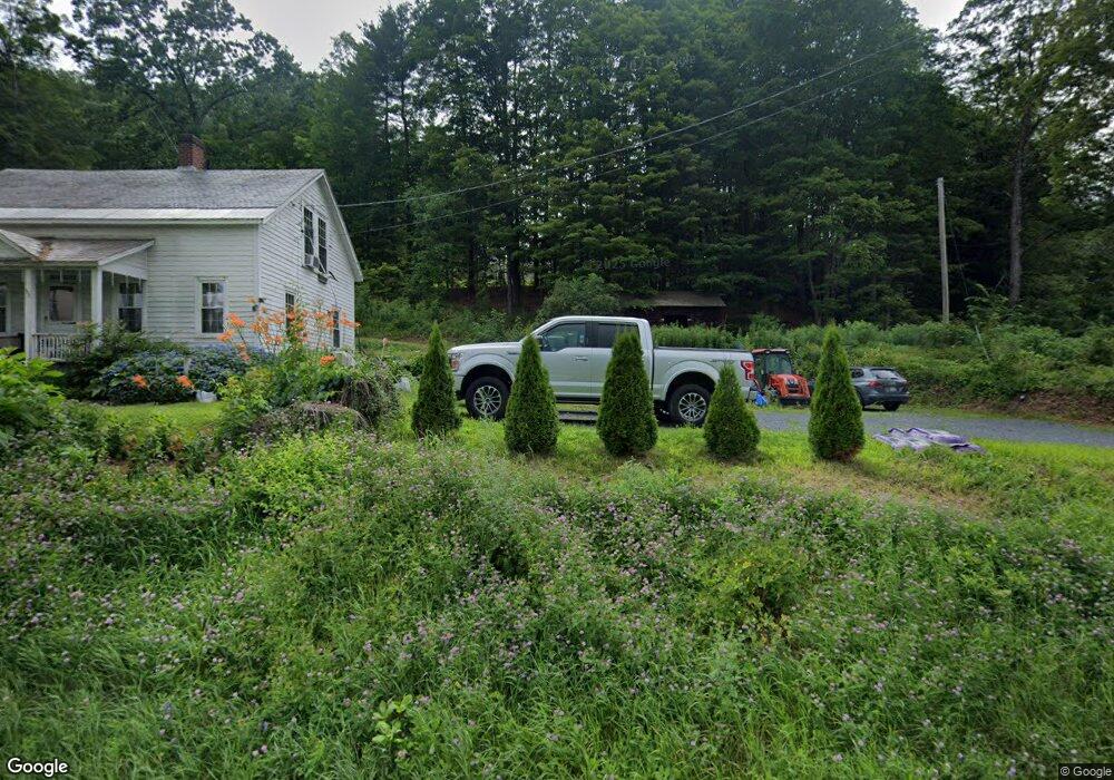
948 Bernardston Rd Greenfield, MA 01301
Estimated Value: $458,000 - $521,000
4
Beds
3
Baths
2,355
Sq Ft
$210/Sq Ft
Est. Value
About This Home
This home is located at 948 Bernardston Rd, Greenfield, MA 01301 and is currently estimated at $495,588, approximately $210 per square foot. 948 Bernardston Rd is a home located in Franklin County with nearby schools including Greenfield Center School, Cornerstone Christian School, and Stoneleigh-Burnham School.
Ownership History
Date
Name
Owned For
Owner Type
Purchase Details
Closed on
Apr 11, 2016
Sold by
Mascia John H and Mascia Carol A
Bought by
Int Carol A Mascia
Current Estimated Value
Purchase Details
Closed on
Mar 1, 1975
Bought by
Int Carol A Mascia
Create a Home Valuation Report for This Property
The Home Valuation Report is an in-depth analysis detailing your home's value as well as a comparison with similar homes in the area
Home Values in the Area
Average Home Value in this Area
Purchase History
| Date | Buyer | Sale Price | Title Company |
|---|---|---|---|
| Int Carol A Mascia | -- | -- | |
| Carol A Mascia Int A | -- | -- | |
| Int Carol A Mascia | $3,500 | -- |
Source: Public Records
Mortgage History
| Date | Status | Borrower | Loan Amount |
|---|---|---|---|
| Previous Owner | Int Carol A Mascia | $76,500 |
Source: Public Records
Tax History Compared to Growth
Tax History
| Year | Tax Paid | Tax Assessment Tax Assessment Total Assessment is a certain percentage of the fair market value that is determined by local assessors to be the total taxable value of land and additions on the property. | Land | Improvement |
|---|---|---|---|---|
| 2025 | $7,668 | $392,000 | $91,400 | $300,600 |
| 2024 | $7,714 | $378,300 | $78,200 | $300,100 |
| 2023 | $6,499 | $347,300 | $78,200 | $269,100 |
| 2022 | $7,073 | $316,900 | $78,800 | $238,100 |
| 2021 | $6,634 | $285,700 | $82,800 | $202,900 |
| 2020 | $6,397 | $279,000 | $82,800 | $196,200 |
| 2019 | $6,017 | $269,100 | $73,200 | $195,900 |
| 2018 | $5,964 | $265,900 | $72,000 | $193,900 |
| 2017 | $5,778 | $265,900 | $72,000 | $193,900 |
| 2016 | $6,283 | $288,100 | $72,000 | $216,100 |
| 2015 | $6,384 | $283,600 | $73,600 | $210,000 |
| 2014 | $5,381 | $262,100 | $73,600 | $188,500 |
Source: Public Records
Map
Nearby Homes
- 971 Bernardston Rd
- 31 Lovers Ln
- 793 Bernardston Rd
- 001 Adams Rd
- 72 Meadowood Dr
- Lot 16 Country Club Rd
- 34 Brookside Ave
- 79 Burnham Rd
- 83 Eden Trail Branch
- 16 Coolidge Ave
- 87 Oakland St
- 44 Wildwood Ave
- 2 G St
- 14 Warner St
- 187 L St
- 335 Federal St
- 47 Cross St
- 4 Silver Crest Ln
- 35-37 Shattuck St
- 35 Shattuck St Unit 37
- 950 Bernardston Rd
- 966 Bernardston Rd
- 946 Bernardston Rd
- 970 Bernardston Rd
- 976 Bernardston Rd
- 930 Bernardston Rd
- 980 Bernardston Rd
- 924 Bernardston Rd
- 975 Bernardston Rd
- 921 Bernardston Rd
- 1000 Bernardston Rd
- 987 Bernardston Rd
- 908 Bernardston Rd
- 1001 Bernardston Rd
- 907 Bernardston Rd
- 1003 Bernardston Rd
- 898 Bernardston Rd
- 9 Lovers Ln
- Lot 10 Off Log Plain Rd E
- Lot 7 Off Log Plain Rd E