Estimated Value: $338,000 - $408,000
3
Beds
2
Baths
1,272
Sq Ft
$297/Sq Ft
Est. Value
About This Home
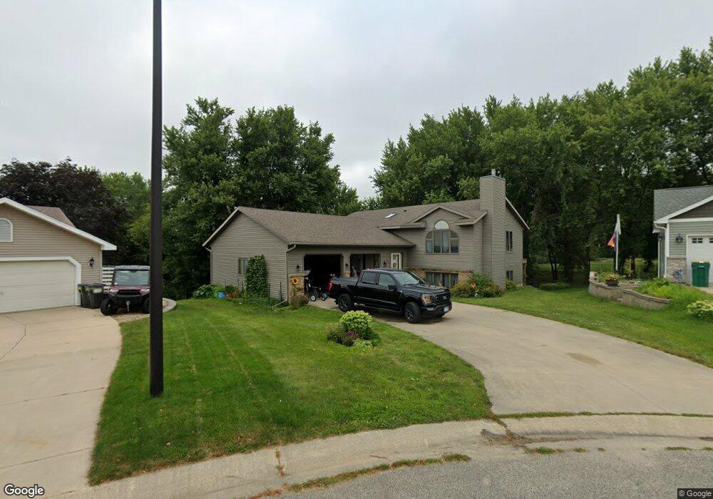
This home is located at 948 Byron Ave N, Byron, MN 55920 and is currently estimated at $378,009, approximately $297 per square foot. 948 Byron Ave N is a home located in Olmsted County with nearby schools including Byron Intermediate School, Byron Middle School, and Byron Senior High School.
Ownership History
Date
Name
Owned For
Owner Type
Purchase Details
Closed on
Aug 31, 2009
Sold by
Behnken Colleen
Bought by
Lindhart Christina M
Current Estimated Value
Home Financials for this Owner
Home Financials are based on the most recent Mortgage that was taken out on this home.
Original Mortgage
$203,501
Outstanding Balance
$133,629
Interest Rate
5.27%
Mortgage Type
FHA
Estimated Equity
$244,380
Create a Home Valuation Report for This Property
The Home Valuation Report is an in-depth analysis detailing your home's value as well as a comparison with similar homes in the area
Home Values in the Area
Average Home Value in this Area
Purchase History
| Date | Buyer | Sale Price | Title Company |
|---|---|---|---|
| Lindhart Christina M | $207,254 | None Available |
Source: Public Records
Mortgage History
| Date | Status | Borrower | Loan Amount |
|---|---|---|---|
| Open | Lindhart Christina M | $203,501 |
Source: Public Records
Tax History
| Year | Tax Paid | Tax Assessment Tax Assessment Total Assessment is a certain percentage of the fair market value that is determined by local assessors to be the total taxable value of land and additions on the property. | Land | Improvement |
|---|---|---|---|---|
| 2024 | $5,694 | $364,600 | $45,000 | $319,600 |
| 2023 | $5,698 | $364,500 | $45,000 | $319,500 |
| 2022 | $4,902 | $336,600 | $45,000 | $291,600 |
| 2021 | $4,260 | $278,300 | $45,000 | $233,300 |
| 2020 | $4,042 | $259,800 | $45,000 | $214,800 |
| 2019 | $3,768 | $242,400 | $37,000 | $205,400 |
| 2018 | $3,457 | $228,600 | $30,000 | $198,600 |
| 2017 | $3,246 | $220,000 | $30,000 | $190,000 |
| 2016 | $2,910 | $183,100 | $19,000 | $164,100 |
| 2015 | $2,830 | $159,900 | $18,600 | $141,300 |
| 2014 | $2,592 | $161,500 | $18,600 | $142,900 |
| 2012 | -- | $164,500 | $18,663 | $145,837 |
Source: Public Records
Map
Nearby Homes
- 926 Byron Ave N
- 910 Byron Ave N
- 208 Somerby Pkwy NE
- 190 Somerby Pkwy NE
- 172 Somerby Pkwy NE
- 226 Somerby Pkwy NE
- 244 Somerby Pkwy NE
- 264 Somerby Pkwy NE
- 154 Somerby Pkwy NE
- 805 1st Ave NW
- 1405 Somerby Pkwy NE
- 283 Somerby Pkwy NE
- 1404 Somerby Pkwy NE
- 301 Somerby Pkwy NE
- 319 Somerby Pkwy NE
- 337 Somerby Pkwy NE
- 1413 Somerby Pkwy NE
- 498 Somerby Pkwy NE
- 355 Somerby Pkwy NE
- 1412 Somerby Pkwy NE
- 946 Byron Ave N
- 949 Byron Ave N
- 945 Byron Ave N
- 1236 Brookfield Ct NE
- 941 Byron Ave N
- 1240 Brookfield Ct NE
- 64 13 St NE
- 1220 2nd Ave NW
- 950 1st Ave NW
- 933 Rolling Heights Ct NE
- 946 1st Ave NW
- 937 Byron Ave N
- 931 Rolling Heights Ct NE
- 1230 Brookfield Ct NE
- 942 1st Ave NW
- 934 Byron Ave N
- 1244 Brookfield Ct NE
- 933 Byron Ave N
- 938 1st Ave NW
- 932 Rolling Heights Ct NE
Your Personal Tour Guide
Ask me questions while you tour the home.