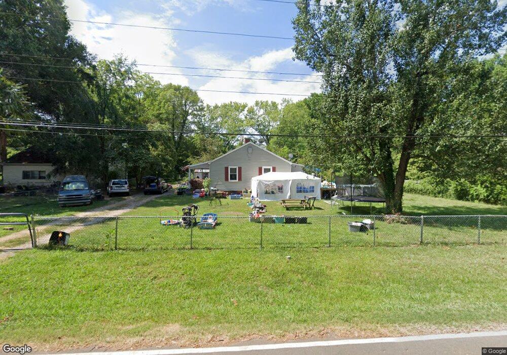
948 Confederate Ave Lancaster, SC 29720
Estimated Value: $145,084 - $191,000
Studio
1
Bath
1,165
Sq Ft
$149/Sq Ft
Est. Value
About This Home
This home is located at 948 Confederate Ave, Lancaster, SC 29720 and is currently estimated at $174,021, approximately $149 per square foot. 948 Confederate Ave is a home located in Lancaster County with nearby schools including Erwin Elementary School, South Middle School, and Lancaster High School.
Ownership History
Date
Name
Owned For
Owner Type
Purchase Details
Closed on
Jun 24, 2025
Sold by
Baker Tracy R
Bought by
Self Michael P
Current Estimated Value
Purchase Details
Closed on
Jun 19, 2025
Sold by
Raffaldt Self Joan
Bought by
Self Michael P and Baker Tracy R
Purchase Details
Closed on
Feb 18, 2011
Sold by
Fannie Mae
Bought by
Self Joan
Purchase Details
Closed on
Sep 15, 2010
Sold by
Singleton Henry Reece and Catoe Tonya Marie
Bought by
Federal National Mortgage Association
Create a Home Valuation Report for This Property
The Home Valuation Report is an in-depth analysis detailing your home's value as well as a comparison with similar homes in the area
Home Values in the Area
Average Home Value in this Area
Purchase History
| Date | Buyer | Sale Price | Title Company |
|---|---|---|---|
| Self Michael P | -- | None Listed On Document | |
| Self Michael P | -- | None Listed On Document | |
| Self Michael P | -- | None Listed On Document | |
| Self Michael P | -- | None Listed On Document | |
| Self Joan | $40,000 | -- | |
| Federal National Mortgage Association | $2,500 | -- |
Source: Public Records
Tax History
| Year | Tax Paid | Tax Assessment Tax Assessment Total Assessment is a certain percentage of the fair market value that is determined by local assessors to be the total taxable value of land and additions on the property. | Land | Improvement |
|---|---|---|---|---|
| 2024 | $1,429 | $4,308 | $690 | $3,618 |
| 2023 | $1,427 | $4,308 | $690 | $3,618 |
| 2022 | $132 | $2,872 | $460 | $2,412 |
| 2021 | $130 | $2,872 | $460 | $2,412 |
| 2020 | $107 | $2,700 | $460 | $2,240 |
| 2019 | $913 | $2,700 | $460 | $2,240 |
| 2018 | $879 | $2,700 | $460 | $2,240 |
| 2017 | $105 | $0 | $0 | $0 |
| 2016 | $102 | $0 | $0 | $0 |
| 2015 | $89 | $0 | $0 | $0 |
| 2014 | $89 | $0 | $0 | $0 |
| 2013 | $89 | $0 | $0 | $0 |
Source: Public Records
Map
Nearby Homes
- 951 Confederate Ave
- 1048 Old Thompson Ave
- 968 Hampton Grace Ave
- 1080 Grace Ave
- 1227 Laurel Ave
- 1250 Hampton Grace Ave
- 1519 Oakwood Ave
- 1545 Danlee Dr
- 1795 Grace Ave
- 1337 Old Greenbriar Dr
- 1329 Old Greenbriar Dr
- 1223 Pinedale Rd
- 1746 Grace Ave Unit 1
- 1801 Grace Ave
- 1500 Victoria St Unit 4
- 5.45 acres Memorial Park Rd
- 3.04 acres Memorial Park Rd
- 1509 Victoria St Unit 13
- 1503 Victoria St
- 1501 Victoria St Unit 11
- 938 Confederate Ave
- 958 Confederate Ave
- 955 Hampton Grace Ave
- 967 Hampton Grace Ave
- 941 Confederate Ave
- 970 Confederate Ave
- 961 Confederate Ave
- 933 State Road S-29-489
- 929 Confederate Ave
- 981 Hampton Grace Ave
- 1056 Old Thompson Ave
- 958 Hampton Grace Ave
- 944 Hampton Grace Ave
- 982 Confederate Ave
- 1038 Old Thompson Ave
- 910 Confederate Ave
- 936 Hampton Grace Ave
- 919 Hampton Grace Ave
- 993 Hampton Grace Ave
- 909 Confederate Ave
Your Personal Tour Guide
Ask me questions while you tour the home.