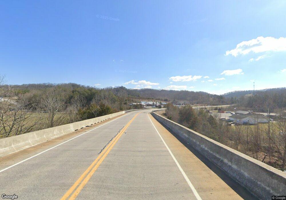
948 Highway 11 E Bulls Gap, TN 37711
Estimated Value: $92,000 - $234,000
3
Beds
2
Baths
1,232
Sq Ft
$148/Sq Ft
Est. Value
About This Home
This home is located at 948 Highway 11 E, Bulls Gap, TN 37711 and is currently estimated at $182,082, approximately $147 per square foot. 948 Highway 11 E is a home located in Hawkins County with nearby schools including Bulls Gap School and Cherokee High School.
Ownership History
Date
Name
Owned For
Owner Type
Purchase Details
Closed on
Mar 26, 2009
Sold by
Barnes Mike
Bought by
Lawson Carter
Current Estimated Value
Purchase Details
Closed on
Oct 14, 2005
Bought by
Barnes Mike
Home Financials for this Owner
Home Financials are based on the most recent Mortgage that was taken out on this home.
Original Mortgage
$71,920
Interest Rate
9.25%
Purchase Details
Closed on
Jun 8, 2004
Sold by
Woods Timothy S and Woods Alicia A
Bought by
Veterans Affairs
Purchase Details
Closed on
May 28, 2004
Bought by
Secretary Of Veterans Affairs
Purchase Details
Closed on
Sep 15, 1997
Sold by
Brown James A and Brown Chris B
Bought by
Maude Stewart
Purchase Details
Closed on
Dec 10, 1993
Bought by
Brown James A and Brown Chris B
Purchase Details
Closed on
May 18, 1983
Bought by
Lawson Michael L and Lawson Tammy L
Create a Home Valuation Report for This Property
The Home Valuation Report is an in-depth analysis detailing your home's value as well as a comparison with similar homes in the area
Home Values in the Area
Average Home Value in this Area
Purchase History
| Date | Buyer | Sale Price | Title Company |
|---|---|---|---|
| Lawson Carter | $30,000 | -- | |
| Barnes Mike | $89,900 | -- | |
| Veterans Affairs | $53,319 | -- | |
| Secretary Of Veterans Affairs | $53,300 | -- | |
| Maude Stewart | $29,000 | -- | |
| Brown James A | -- | -- | |
| Lawson Michael L | -- | -- |
Source: Public Records
Mortgage History
| Date | Status | Borrower | Loan Amount |
|---|---|---|---|
| Previous Owner | Lawson Michael L | $71,920 |
Source: Public Records
Tax History Compared to Growth
Tax History
| Year | Tax Paid | Tax Assessment Tax Assessment Total Assessment is a certain percentage of the fair market value that is determined by local assessors to be the total taxable value of land and additions on the property. | Land | Improvement |
|---|---|---|---|---|
| 2024 | $766 | $29,975 | $4,200 | $25,775 |
| 2023 | $697 | $29,975 | $0 | $0 |
| 2022 | $695 | $29,975 | $4,200 | $25,775 |
| 2021 | $650 | $29,975 | $4,200 | $25,775 |
| 2020 | $654 | $29,975 | $4,200 | $25,775 |
| 2019 | $654 | $25,825 | $4,200 | $21,625 |
| 2018 | $654 | $25,825 | $4,200 | $21,625 |
| 2017 | $654 | $25,825 | $4,200 | $21,625 |
| 2016 | $654 | $25,825 | $4,200 | $21,625 |
| 2015 | $637 | $25,825 | $4,200 | $21,625 |
| 2014 | $691 | $28,025 | $4,225 | $23,800 |
Source: Public Records
Map
Nearby Homes
- 123 N Main St
- 116 Magnolia Ave
- 2.79 Ac U S 11e
- 350 N Vfw Rd
- 670 Bulls Gap Saint Clair Rd
- 670 Bulls Gap-Saint Clair Rd
- 711 N Main St
- 202 S Shepherd Dr
- 0 Whitehorn Rd Unit 1314385
- 438 N Vfw Rd
- 8091 E Andrew Johnson Hwy
- 625 Silver City Rd
- 945 N Main St
- 204 Meadowview Rd
- 583 Silver City Rd
- 7932 Whetsel Rd
- 645 Silver City Rd
- 473 Lautner Rd
- 261 Buzzard Roost Rd
- 415 Pleasant Hill Rd
- 948 Highway 11 E
- 946 Highway 11 E
- 952 Highway 11 E
- 958 Highway 11 E
- 120 Beck Ln
- 8870 E Andrew Johnson Hwy
- 175 Beck Ln
- 8787 E Andrew Johnson Hwy
- 125 Beck Ln
- 8727 E Andrew Johnson Hwy
- 8737 E Andrew Johnson Hwy
- 8749 E Andrew Johnson Hwy
- 8769 E Andrew Johnson Hwy
- 8800 E Andrew Johnson Hwy
- 8751 North St
- 8781 North St
- 8755 E Andrew Johnson Hwy
- 8745 Kinney St
- 180 N Moore Rd
- 160 N Moore Rd
