Estimated Value: $380,264 - $462,000
Studio
--
Bath
2,258
Sq Ft
$192/Sq Ft
Est. Value
About This Home
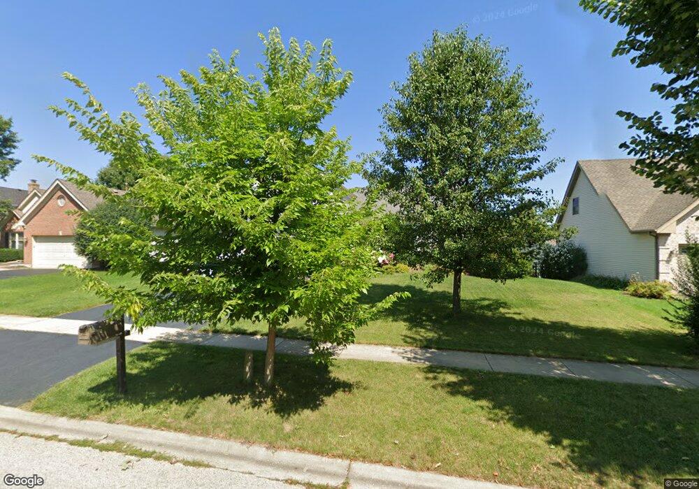
This home is located at 948 Pearson Rd, Cary, IL 60013 and is currently estimated at $434,566, approximately $192 per square foot. 948 Pearson Rd is a home located in McHenry County with nearby schools including Briargate Elementary School, Cary Jr High School, and Cary-Grove High School.
Ownership History
Date
Name
Owned For
Owner Type
Purchase Details
Closed on
Dec 20, 2000
Sold by
Lamb Carter J and Lamb Barbara A
Bought by
Doyle James and Doyle Sandra
Current Estimated Value
Home Financials for this Owner
Home Financials are based on the most recent Mortgage that was taken out on this home.
Original Mortgage
$211,500
Outstanding Balance
$77,266
Interest Rate
7.58%
Estimated Equity
$357,300
Create a Home Valuation Report for This Property
The Home Valuation Report is an in-depth analysis detailing your home's value as well as a comparison with similar homes in the area
Home Values in the Area
Average Home Value in this Area
Purchase History
| Date | Buyer | Sale Price | Title Company |
|---|---|---|---|
| Doyle James | $223,000 | -- |
Source: Public Records
Mortgage History
| Date | Status | Borrower | Loan Amount |
|---|---|---|---|
| Open | Doyle James | $211,500 |
Source: Public Records
Tax History
| Year | Tax Paid | Tax Assessment Tax Assessment Total Assessment is a certain percentage of the fair market value that is determined by local assessors to be the total taxable value of land and additions on the property. | Land | Improvement |
|---|---|---|---|---|
| 2024 | $9,329 | $118,777 | $11,578 | $107,199 |
| 2023 | $9,093 | $106,231 | $10,355 | $95,876 |
| 2022 | $9,109 | $103,276 | $9,346 | $93,930 |
| 2021 | $8,681 | $96,214 | $8,707 | $87,507 |
| 2020 | $8,423 | $92,808 | $8,399 | $84,409 |
| 2019 | $8,256 | $88,829 | $8,039 | $80,790 |
| 2018 | $8,707 | $91,098 | $18,446 | $72,652 |
| 2017 | $8,542 | $85,820 | $17,377 | $68,443 |
| 2016 | $8,481 | $80,491 | $16,298 | $64,193 |
| 2013 | -- | $74,901 | $15,204 | $59,697 |
Source: Public Records
Map
Nearby Homes
- 413 Haber Rd Unit 5
- 417 Haber Rd Unit 6
- 421 Haber Rd Unit 7
- 425 Haber Rd Unit 6
- 29 Ivanhoe Ln
- 204 Country Commons Rd
- 550 Enclave Dr
- 1163 E Danbury Dr
- 1436 New Haven Dr
- 0 Kaper Dr
- 3712 3 Oaks Rd
- Lots 2,3,4 Northwest Hwy
- 1141 Westlake Dr
- 1161 Amber Dr
- 349 Park Ave
- 330 Park Ave
- 134 Bright Oaks Cir
- 321 Cold Spring St
- 341 Cold Spring St
- 331 Cold Spring St
Your Personal Tour Guide
Ask me questions while you tour the home.