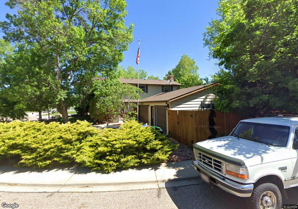
948 Yew Ct Longmont, CO 80504
Clark Centennial NeighborhoodEstimated Value: $508,000 - $552,211
4
Beds
3
Baths
2,016
Sq Ft
$264/Sq Ft
Est. Value
About This Home
This home is located at 948 Yew Ct, Longmont, CO 80504 and is currently estimated at $532,053, approximately $263 per square foot. 948 Yew Ct is a home located in Boulder County with nearby schools including Timberline Pk-8, Skyline High School, and Messiahville Baptist Academy.
Ownership History
Date
Name
Owned For
Owner Type
Purchase Details
Closed on
Oct 25, 2023
Sold by
Bachofer Rockne C
Bought by
Bachofer Rockne C and Bachofer Leslie H
Current Estimated Value
Purchase Details
Closed on
Jul 17, 1995
Sold by
Teebken Jennifer L
Bought by
Bachofer Rockne C
Home Financials for this Owner
Home Financials are based on the most recent Mortgage that was taken out on this home.
Original Mortgage
$103,200
Interest Rate
7.54%
Purchase Details
Closed on
Jul 27, 1990
Bought by
Bachofer Rockne C
Purchase Details
Closed on
Mar 28, 1986
Bought by
Bachofer Rockne C
Purchase Details
Closed on
Oct 23, 1978
Bought by
Bachofer Rockne C
Create a Home Valuation Report for This Property
The Home Valuation Report is an in-depth analysis detailing your home's value as well as a comparison with similar homes in the area
Home Values in the Area
Average Home Value in this Area
Purchase History
| Date | Buyer | Sale Price | Title Company |
|---|---|---|---|
| Bachofer Rockne C | -- | None Listed On Document | |
| Bachofer Rockne C | $129,000 | Commonwealth Land Title | |
| Bachofer Rockne C | -- | -- | |
| Bachofer Rockne C | $81,800 | -- | |
| Bachofer Rockne C | $49,500 | -- |
Source: Public Records
Mortgage History
| Date | Status | Borrower | Loan Amount |
|---|---|---|---|
| Previous Owner | Bachofer Rockne C | $103,200 |
Source: Public Records
Tax History Compared to Growth
Tax History
| Year | Tax Paid | Tax Assessment Tax Assessment Total Assessment is a certain percentage of the fair market value that is determined by local assessors to be the total taxable value of land and additions on the property. | Land | Improvement |
|---|---|---|---|---|
| 2025 | $2,355 | $32,094 | $10,438 | $21,656 |
| 2024 | $2,355 | $32,094 | $10,438 | $21,656 |
| 2023 | $2,323 | $31,323 | $11,517 | $23,490 |
| 2022 | $1,907 | $26,216 | $8,660 | $17,556 |
| 2021 | $1,931 | $26,970 | $8,909 | $18,061 |
| 2020 | $1,506 | $22,652 | $7,651 | $15,001 |
| 2019 | $1,482 | $22,652 | $7,651 | $15,001 |
| 2018 | $1,264 | $20,506 | $7,704 | $12,802 |
| 2017 | $1,247 | $22,670 | $8,517 | $14,153 |
| 2016 | $973 | $18,141 | $6,766 | $11,375 |
| 2015 | $927 | $15,132 | $4,776 | $10,356 |
| 2014 | $707 | $15,132 | $4,776 | $10,356 |
Source: Public Records
Map
Nearby Homes
- 884 Elliott St
- 620 Independence Dr
- 811 Brookside Dr
- 741 Elliott St
- 756 Brookside Dr
- 908 Sugar Mill Ave
- 902 Sugar Mill Ave
- 742 Megan Ct
- 1310 Hilltop Dr
- 225 E 8th Ave Unit E20
- 225 E 8th Ave Unit A2
- 225 E 8th Ave Unit E10
- 712 Pendleton Ave
- 829 Independence Dr
- 1267 E 9th Ave
- 713 Pendleton Ave
- 619 Brookside Dr
- 146 E Saint Clair Ave Unit 148
- 1245 Trail Ridge Rd
- 618 Silver Star Ct