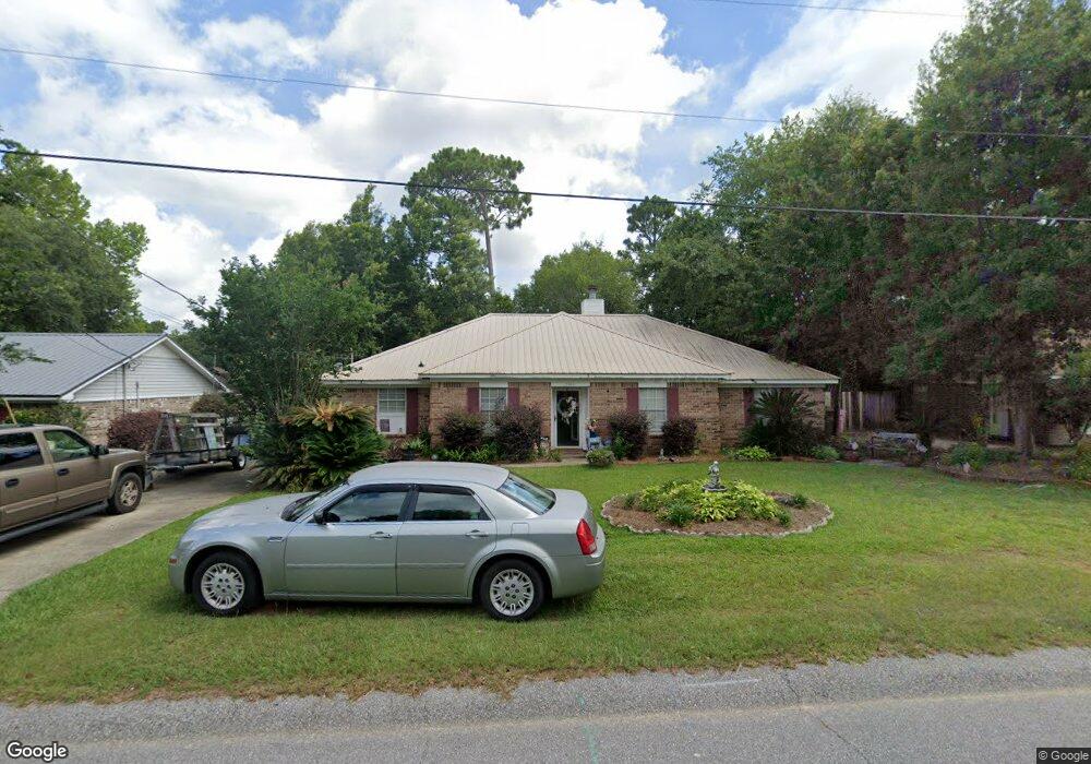
9480 Oak Forrest Dr Unit 2 Mobile, AL 36695
Baker NeighborhoodEstimated Value: $222,066 - $252,000
3
Beds
2
Baths
1,777
Sq Ft
$135/Sq Ft
Est. Value
About This Home
This home is located at 9480 Oak Forrest Dr Unit 2, Mobile, AL 36695 and is currently estimated at $240,517, approximately $135 per square foot. 9480 Oak Forrest Dr Unit 2 is a home located in Mobile County with nearby schools including Elsie Collier Elementary School, Bernice J Causey Middle School, and Baker High School.
Ownership History
Date
Name
Owned For
Owner Type
Purchase Details
Closed on
May 2, 2001
Sold by
Quinn Alex and Al Sadek Julie
Bought by
Guy Michael O and Guy Sherry L
Current Estimated Value
Home Financials for this Owner
Home Financials are based on the most recent Mortgage that was taken out on this home.
Original Mortgage
$82,500
Outstanding Balance
$29,399
Interest Rate
6.9%
Estimated Equity
$211,118
Create a Home Valuation Report for This Property
The Home Valuation Report is an in-depth analysis detailing your home's value as well as a comparison with similar homes in the area
Home Values in the Area
Average Home Value in this Area
Purchase History
| Date | Buyer | Sale Price | Title Company |
|---|---|---|---|
| Guy Michael O | -- | Surety Land Title Inc |
Source: Public Records
Mortgage History
| Date | Status | Borrower | Loan Amount |
|---|---|---|---|
| Open | Guy Michael O | $82,500 |
Source: Public Records
Tax History
| Year | Tax Paid | Tax Assessment Tax Assessment Total Assessment is a certain percentage of the fair market value that is determined by local assessors to be the total taxable value of land and additions on the property. | Land | Improvement |
|---|---|---|---|---|
| 2025 | $993 | $20,410 | $4,000 | $16,410 |
| 2024 | $993 | $19,210 | $4,000 | $15,210 |
| 2023 | $935 | $17,020 | $4,000 | $13,020 |
| 2022 | $679 | $15,360 | $4,000 | $11,360 |
| 2021 | $669 | $15,170 | $4,000 | $11,170 |
| 2020 | $676 | $15,300 | $4,000 | $11,300 |
| 2019 | $628 | $14,320 | $0 | $0 |
| 2018 | $637 | $14,520 | $0 | $0 |
| 2017 | $701 | $14,400 | $0 | $0 |
| 2016 | $609 | $13,940 | $0 | $0 |
| 2013 | $612 | $13,160 | $0 | $0 |
Source: Public Records
Map
Nearby Homes
- 9375 Ashwood Ct
- 9613 Oak Forrest Place
- 9630 Oak Forrest Dr Unit 2
- 9650 Oak Forrest Dr
- 0 New Neck Rd Unit 387066
- 860 Trailwood Dr E
- 835 Royal Woods Dr E
- 9633 Royal Woods Dr S
- 801 Copperfield Dr E
- 9751 Pine Knoll Rd
- 750 Hale Rd
- 11905 Airport Blvd
- 11905 Airport Blvd Unit 3
- 1170 Wellington Ct S
- 10635 Burlington Estates Dr
- 1145 Dominion Dr E
- 9841 Shadow Wood Dr
- 653 Begeman Rd
- 1151 Twelve Oaks Dr
- 8880 Ohara Dr
- 10453 Heritance Rd
- 15120 Private Rd Unit 368
- 9470 Oak Forrest Dr
- 9490 Oak Forrest Dr
- 9481 Ashwood Dr
- 9471 Ashwood Dr
- 9460 Oak Forrest Dr
- 9491 Ashwood Dr
- 9481 Oak Forrest Dr
- 9471 Oak Forrest Dr
- 9491 Oak Forrest Dr
- 9461 Ashwood Dr
- 9501 Oak Forrest Dr
- 9461 Oak Forrest Dr
- 9510 Oak Forrest Dr
- 1140 Smokerise Dr
- 9511 Ashwood Dr
- 1110 Smokerise Dr
- 9511 Oak Forrest Dr
- 1150 Smokerise Dr
Your Personal Tour Guide
Ask me questions while you tour the home.