9481 Pennfield Rd Battle Creek, MI 49014
Estimated Value: $286,000 - $717,885
3
Beds
1
Bath
1,878
Sq Ft
$252/Sq Ft
Est. Value
About This Home
This home is located at 9481 Pennfield Rd, Battle Creek, MI 49014 and is currently estimated at $473,962, approximately $252 per square foot. 9481 Pennfield Rd is a home located in Calhoun County with nearby schools including Pennfield Dunlap Elementary School, North Pennfield Elementary School, and Pennfield Middle School.
Ownership History
Date
Name
Owned For
Owner Type
Purchase Details
Closed on
Dec 12, 2024
Sold by
Humeston Ervin R and Humeston Janet R
Bought by
Humeston Ervin R and Humeston Janet R
Current Estimated Value
Purchase Details
Closed on
Oct 12, 2015
Sold by
Humeston Ervin R and Humeston Janet R
Bought by
Ervin R Humeston & Janet Rae Trust
Purchase Details
Closed on
May 29, 2015
Sold by
Humeston James Clark and Humeston Carolyn Kay
Bought by
Humeston Ervin Rex and Humeston Janet Rae
Purchase Details
Closed on
Jul 15, 2013
Sold by
Humeston Ervin R and Humeston Janet R
Bought by
Humeston Ervin R and Humeston Janet R
Purchase Details
Closed on
Apr 19, 2006
Sold by
Humeston Marybeth and Humeston Ervin R
Bought by
Humeston Marybeth and Humeston Ervin R
Purchase Details
Closed on
Sep 10, 2000
Sold by
Humeston Betty
Bought by
Humeston James and Humeston Marybeth
Create a Home Valuation Report for This Property
The Home Valuation Report is an in-depth analysis detailing your home's value as well as a comparison with similar homes in the area
Home Values in the Area
Average Home Value in this Area
Purchase History
| Date | Buyer | Sale Price | Title Company |
|---|---|---|---|
| Humeston Ervin R | -- | None Listed On Document | |
| Humeston Ervin R | -- | None Listed On Document | |
| Humeston Ervin R | -- | None Listed On Document | |
| Ervin R Humeston & Janet Rae Trust | -- | Attorney | |
| Humeston Ervin Rex | $100,000 | None Available | |
| Humeston Ervin R | -- | None Available | |
| Humeston Marybeth | -- | None Available | |
| Humeston James | $100 | -- |
Source: Public Records
Tax History Compared to Growth
Tax History
| Year | Tax Paid | Tax Assessment Tax Assessment Total Assessment is a certain percentage of the fair market value that is determined by local assessors to be the total taxable value of land and additions on the property. | Land | Improvement |
|---|---|---|---|---|
| 2025 | $5,628 | $349,900 | $0 | $0 |
| 2024 | $2,510 | $311,000 | $0 | $0 |
| 2023 | $4,864 | $286,450 | $0 | $0 |
| 2022 | $2,277 | $279,530 | $0 | $0 |
| 2021 | $4,881 | $271,060 | $0 | $0 |
| 2020 | $4,794 | $267,770 | $0 | $0 |
| 2019 | $4,636 | $256,190 | $0 | $0 |
| 2018 | $4,179 | $253,440 | $211,470 | $41,970 |
| 2017 | $0 | $253,360 | $0 | $0 |
| 2016 | $0 | $238,180 | $0 | $0 |
| 2015 | -- | $222,560 | $0 | $0 |
| 2014 | -- | $222,170 | $0 | $0 |
Source: Public Records
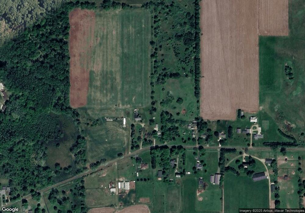
Map
Nearby Homes
- 20259 Pine Lake Rd
- 20291 Chippewa Trail
- 114 Wanondoger Cir
- 21534 Clear Lake Ave
- 215 Pony Ave
- 220 Pennbrook Trail
- 332 Community Dr
- 150 Pennbrook Trail
- 9559 Brian Dr
- 22511 Capital Ave NE
- 8671 Gorsline Rd
- 21520 Swafford Rd
- 22485 Clear Lake Rd N
- 23720 M 78
- 19016 11 Mile Rd
- 22975 Pine Lake Rd
- V/L East Ave N
- 24190 Michigan 78
- 0 Lynch Rd Unit 25041472
- 1731 Capital Ave NE
- 9551 Pennfield Rd
- 9402 Pennfield Rd
- 9463 Pennfield Rd
- 9518 Pennfield Rd
- 9575 Pennfield Rd
- 9382 Pennfield Rd
- 9576 Pennfield Rd
- 9595 Pennfield Rd
- 9647 Pennfield Rd
- 9650 Pennfield Rd
- 9244 Pennfield Rd
- 9690 Pennfield Rd
- 9201 Pennfield Rd
- 9191 Pennfield Rd
- 9200 Pennfield Rd
- 9701 Pennfield Rd
- 9143 Pennfield Rd
- 9230 Pennfield Rd
- 9236 Pennfield Rd
- 9164 Pennfield Rd