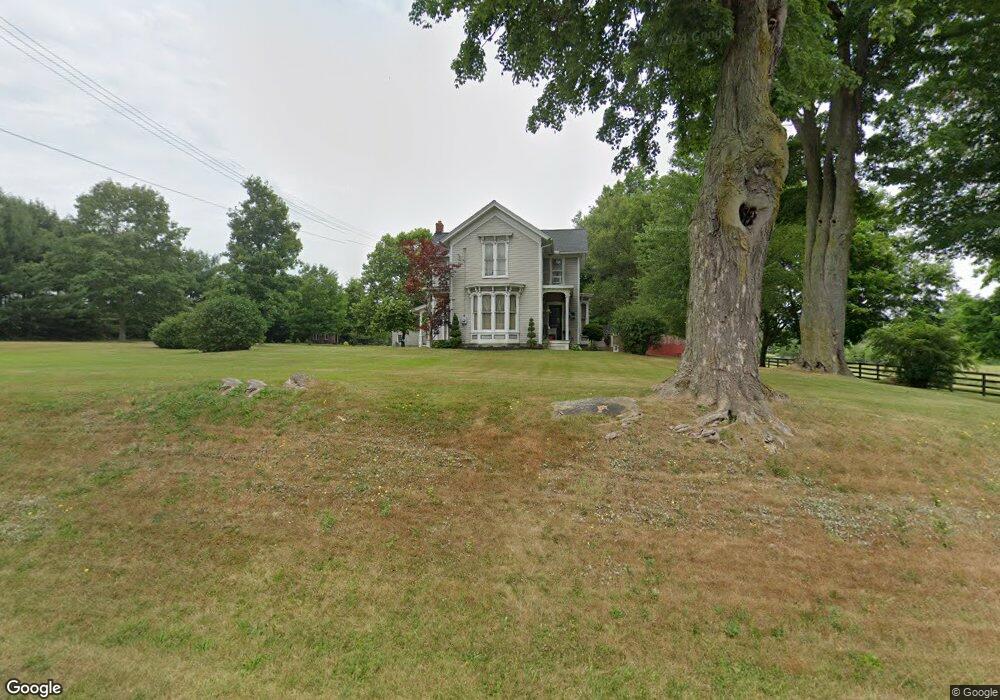
9481 Pontius St NE Alliance, OH 44601
Estimated Value: $250,000 - $567,000
3
Beds
2
Baths
2,564
Sq Ft
$159/Sq Ft
Est. Value
About This Home
This home is located at 9481 Pontius St NE, Alliance, OH 44601 and is currently estimated at $408,213, approximately $159 per square foot. 9481 Pontius St NE is a home located in Stark County with nearby schools including Marlington High School.
Ownership History
Date
Name
Owned For
Owner Type
Purchase Details
Closed on
Mar 17, 1995
Sold by
Susong John E
Bought by
Huston James R and Huston Deborah L
Current Estimated Value
Home Financials for this Owner
Home Financials are based on the most recent Mortgage that was taken out on this home.
Original Mortgage
$100,000
Interest Rate
8.97%
Mortgage Type
New Conventional
Create a Home Valuation Report for This Property
The Home Valuation Report is an in-depth analysis detailing your home's value as well as a comparison with similar homes in the area
Home Values in the Area
Average Home Value in this Area
Purchase History
| Date | Buyer | Sale Price | Title Company |
|---|---|---|---|
| Huston James R | $80,000 | -- |
Source: Public Records
Mortgage History
| Date | Status | Borrower | Loan Amount |
|---|---|---|---|
| Closed | Huston James R | $100,000 |
Source: Public Records
Tax History Compared to Growth
Tax History
| Year | Tax Paid | Tax Assessment Tax Assessment Total Assessment is a certain percentage of the fair market value that is determined by local assessors to be the total taxable value of land and additions on the property. | Land | Improvement |
|---|---|---|---|---|
| 2025 | -- | $110,740 | $43,890 | $66,850 |
| 2024 | -- | $110,740 | $43,890 | $66,850 |
| 2023 | $2,886 | $77,990 | $30,700 | $47,290 |
| 2022 | $2,897 | $77,990 | $30,700 | $47,290 |
| 2021 | $2,906 | $77,990 | $30,700 | $47,290 |
| 2020 | $2,653 | $65,210 | $25,830 | $39,380 |
| 2019 | $2,635 | $65,240 | $25,840 | $39,400 |
| 2018 | $2,518 | $65,240 | $25,840 | $39,400 |
| 2017 | $2,462 | $59,100 | $20,480 | $38,620 |
| 2016 | $2,463 | $59,100 | $20,480 | $38,620 |
| 2015 | $2,467 | $59,100 | $20,480 | $38,620 |
| 2014 | $375 | $51,540 | $17,860 | $33,680 |
| 2013 | $1,162 | $51,540 | $17,860 | $33,680 |
Source: Public Records
Map
Nearby Homes
- 0 New Milford Rd Unit 5119787
- 14350 Reeder Ave NE
- 4829 Laubert Rd
- 5615 Laubert Rd
- 3952 Laubert Rd
- 5296 Eberly Rd
- German Church Street North E Unit LotWP001
- 5457 Waterloo Rd
- 3459 Laubert Rd
- 6894 Swamp St NE
- 1015 Stroup Rd
- 14865 Millrich Cir NE
- 1291 State Route 44
- 0 Pontius St NE
- 1628 New Milford Rd
- 1683 New Milford Rd
- 12252 Snode St NE
- 0 German Church St NE
- 12415 Snode St NE
- 0 Hartville Rd
- 9571 Pontius St NE
- 9542 Pontius St NE
- 9460 Pontius St NE
- 9410 Pontius St NE
- 14641 Marlboro Ave NE
- 14730 Marlboro Ave
- 14619 Marlboro Ave NE
- 14915 Marlboro Ave
- 14601 Marlboro Ave NE
- 14818 Marlboro Ave
- 9627 Price St NE
- 14555 Marlboro Ave NE
- 9433 Pontius St NE
- 9350 Pontius St NE
- 9675 Price St NE
- 9709 German Church Rd
- 14850 Marlboro Ave
- 14884 Marlboro Ave
- 9695 Price St NE
- 14523 Marlboro Ave NE