Estimated Value: $545,000 - $644,000
4
Beds
3
Baths
2,004
Sq Ft
$300/Sq Ft
Est. Value
About This Home
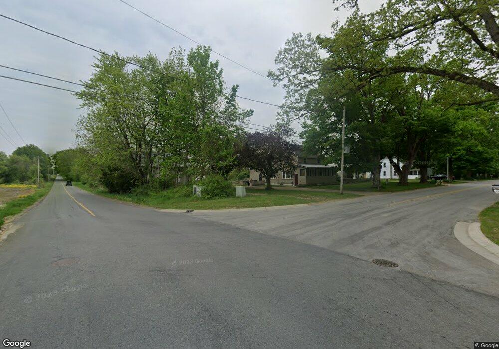
This home is located at 9484 Andrew Farm Dr SE Unit 11, Alto, MI 49302 and is currently estimated at $600,755, approximately $299 per square foot. 9484 Andrew Farm Dr SE Unit 11 is a home located in Kent County with nearby schools including Caledonia Elementary School, Kettle Lake Elementary School, and Emmons Lake Elementary School.
Ownership History
Date
Name
Owned For
Owner Type
Purchase Details
Closed on
Feb 28, 2023
Sold by
Petre Brian E and Petre Sherry D
Bought by
Madden Thomas and Madden Grace
Current Estimated Value
Purchase Details
Closed on
Sep 28, 2006
Sold by
Thornapple Developers Llc
Bought by
Petre Brian E and Petre Sherry D
Home Financials for this Owner
Home Financials are based on the most recent Mortgage that was taken out on this home.
Original Mortgage
$224,800
Interest Rate
6.37%
Mortgage Type
Construction
Create a Home Valuation Report for This Property
The Home Valuation Report is an in-depth analysis detailing your home's value as well as a comparison with similar homes in the area
Home Values in the Area
Average Home Value in this Area
Purchase History
| Date | Buyer | Sale Price | Title Company |
|---|---|---|---|
| Madden Thomas | $540,000 | Nations Title | |
| Petre Brian E | $64,000 | None Available |
Source: Public Records
Mortgage History
| Date | Status | Borrower | Loan Amount |
|---|---|---|---|
| Previous Owner | Petre Brian E | $224,800 |
Source: Public Records
Tax History Compared to Growth
Tax History
| Year | Tax Paid | Tax Assessment Tax Assessment Total Assessment is a certain percentage of the fair market value that is determined by local assessors to be the total taxable value of land and additions on the property. | Land | Improvement |
|---|---|---|---|---|
| 2025 | $5,352 | $275,700 | $0 | $0 |
| 2024 | $5,352 | $257,300 | $0 | $0 |
| 2023 | $5,114 | $235,200 | $0 | $0 |
| 2022 | $4,943 | $218,000 | $0 | $0 |
| 2021 | $4,842 | $203,700 | $0 | $0 |
| 2020 | $3,301 | $191,200 | $0 | $0 |
| 2019 | $4,280 | $181,400 | $0 | $0 |
| 2018 | $4,650 | $175,800 | $0 | $0 |
| 2017 | $4,448 | $161,600 | $0 | $0 |
| 2016 | $4,280 | $152,600 | $0 | $0 |
| 2015 | $4,173 | $152,600 | $0 | $0 |
| 2013 | -- | $142,100 | $0 | $0 |
Source: Public Records
Map
Nearby Homes
- 9430 Whitneyville Ave SE
- 10188 Whitneyville Ave SE
- 9434 84th St SE
- 9250 92nd St SE
- 9410 Sanborn Ave SE
- 8300 Arapaho Trail SE
- 8546 Whitneyville Ave SE
- 10159 E Rivershore Dr SE
- 8477 84th St SE
- 7951 Snow View Dr SE
- 7951 Snow View SE
- 7946 Snow View Dr SE
- Traditions 2800 V8.0b Plan at Snow Valley - Traditions
- Traditions 2330 V8.0b Plan at Snow Valley - Traditions
- Elements 2390 Plan at Snow Valley
- Elements 2200 Plan at Snow Valley
- Elements 2090 Plan at Snow Valley
- Traditions 3400 V8.0b Plan at Snow Valley - Traditions
- Elements 2070 Plan at Snow Valley
- Traditions 2900 V8.2b Plan at Snow Valley - Traditions
- 9500 Andrew Farm Ct SE Unit 12
- 9533 Andrew Farm Dr SE Unit 9
- 9460 Andrew Farm Dr SE
- 9460 Andrew Farm Dr SE
- 9460 Andrew Farm Dr SE
- 9505 Andrew Farm Dr SE
- 9505 Andrew Farm Ct SE
- 9495 Andrew Farm Dr SE Unit 8
- 9521 Andrew Farm Ct SE
- 9473 Andrew Farm Dr SE
- 9470 Vincent Ave SE
- 9545 Andrew Farm Ct SE
- 9560 Andrew Farm Ct SE
- 9490 Plow Point Ct SE
- 9447 Andrew Farm Dr SE
- 9447 Andrew Farms Dr
- 9514 Plow Point Ct SE
- 9484 Vincent Ave SE
- 9530 Plow Point Ct SE Unit 21
- 9522 Andrew Farms Dr
