9485 Terry Rd Cedar Grove, TN 38321
Estimated Value: $297,000 - $596,723
--
Bed
2
Baths
1,552
Sq Ft
$288/Sq Ft
Est. Value
About This Home
This home is located at 9485 Terry Rd, Cedar Grove, TN 38321 and is currently estimated at $446,862, approximately $287 per square foot. 9485 Terry Rd is a home located in Carroll County with nearby schools including West Carroll Primary School, West Carroll Elementary School, and West Carroll Junior/Senior High School.
Ownership History
Date
Name
Owned For
Owner Type
Purchase Details
Closed on
Mar 24, 2011
Sold by
Clauss Raymond J
Bought by
Clauss Bobbie Louise
Current Estimated Value
Purchase Details
Closed on
Oct 1, 2004
Sold by
Harber Gerald F
Bought by
Dinwiddie Caleb
Purchase Details
Closed on
Jul 28, 2003
Sold by
Brown Wendell
Bought by
Harber Gerald
Purchase Details
Closed on
Sep 3, 1999
Sold by
Gibson Burt M
Bought by
Brown Wendell
Purchase Details
Closed on
Mar 27, 1987
Bought by
Gibson Burt M and Gibson Brenda
Purchase Details
Closed on
Jan 1, 1981
Create a Home Valuation Report for This Property
The Home Valuation Report is an in-depth analysis detailing your home's value as well as a comparison with similar homes in the area
Home Values in the Area
Average Home Value in this Area
Purchase History
| Date | Buyer | Sale Price | Title Company |
|---|---|---|---|
| Clauss Bobbie Louise | -- | -- | |
| Dinwiddie Caleb | $300,000 | -- | |
| Harber Gerald | -- | -- | |
| Brown Wendell | $170,000 | -- | |
| Gibson Burt M | -- | -- | |
| -- | $159,800 | -- |
Source: Public Records
Tax History Compared to Growth
Tax History
| Year | Tax Paid | Tax Assessment Tax Assessment Total Assessment is a certain percentage of the fair market value that is determined by local assessors to be the total taxable value of land and additions on the property. | Land | Improvement |
|---|---|---|---|---|
| 2024 | $2,296 | $87,175 | $55,175 | $32,000 |
| 2023 | $2,296 | $87,175 | $55,175 | $32,000 |
| 2022 | $2,296 | $87,175 | $55,175 | $32,000 |
| 2021 | $1,232 | $87,175 | $55,175 | $32,000 |
| 2020 | $2,296 | $87,175 | $55,175 | $32,000 |
| 2019 | $2,162 | $74,525 | $43,325 | $31,200 |
| 2018 | $2,162 | $74,525 | $43,325 | $31,200 |
| 2017 | $2,162 | $74,525 | $43,325 | $31,200 |
| 2016 | $3,167 | $74,525 | $43,325 | $31,200 |
| 2015 | $2,235 | $74,525 | $43,325 | $31,200 |
| 2014 | $2,017 | $74,525 | $43,325 | $31,200 |
| 2013 | $2,017 | $65,268 | $0 | $0 |
Source: Public Records
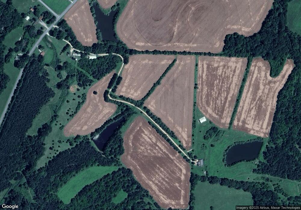
Map
Nearby Homes
- 455 Holder Rd
- 290 Leeford Ln
- 9173 Tennessee 104
- 85 Burns Ln
- 945 Old Lavinia Rd
- 0 Old Lavinia Rd
- 5259 Highway 104 W
- 973 Old Lavinia Rd
- 780 Hickory Flat Rd
- 00 Frye Rd
- 000 Little Grove Rd
- 00 Frye Rd
- 4401 Spring Creek Rd
- 240 War Eagle Dr
- 398 War Eagle Dr
- 334 Logger Ln
- 313 Logger Ln
- 80 Torpedo Ct
- 0 Hwy 70 Ave Unit RTC2802275
- 80 Water Tower Rd